
The full photo album here.
June 5th – 7th : Lerwick – Brattvåg (278 NM)
After six days waiting in Lerwick the southwest wind is beginning to show signs of weakening. The most daring, like our neighbour Ella, set off in the morning, while the bulk of the fleet sheltering in the port, prepares for an early departure the next day. We choose the middle route and set off in the late afternoon, greeted by our friends from Noranna.
Departing Lerwick
The wind is still well established (we’ll see 27 knots in the exit channel), but will soon ease and the first night should be quite productive. Indeed, with one reef in the mainsail and the genoa we’re running at a steady six knots and enjoying being on a broad reach for once. The excellent news is that Oscar, our windvane, is doing really well downwind too!! What a joy to no longer be dependent on the electric pilot…
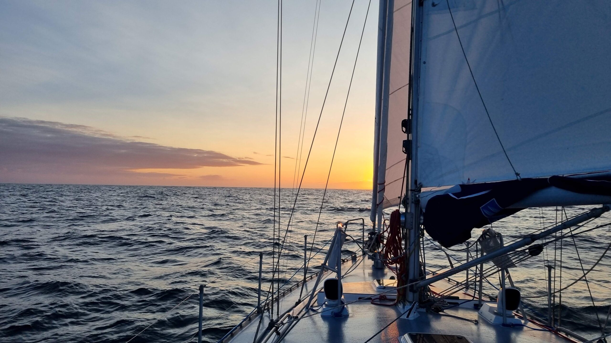
Hardly set, the sun begins to rise again!
The night, or at least what’s left of it in these latitudes, goes well. First tack towards the East, then we gybe around midnight when the wind picks up from the West. The swell is quite strong after three days of storms, but Laure is all “patched up” and her stomach is holding up perfectly this time—more good news!
The weather clears up and the second day begins in a beautiful sun. Today’s program: crossing the immense Norwegian Sea oil field. It takes us over 12 hours zigzagging between active platforms, platforms being decommissioned, a field of floating wind turbines, and even a seismic vessel shooting lines between the above. Instructions given by the latter on the VHF are ridiculously bad and luckily Camille is familiar with these operations and we can rely on the AIS to avoid it. What tops it all is when we ask the officer for a weather report: “Oh, it’s very nice today, it’s cleared up,” he replies, “You’ll have a nice sail to Norway!” Hopeless…
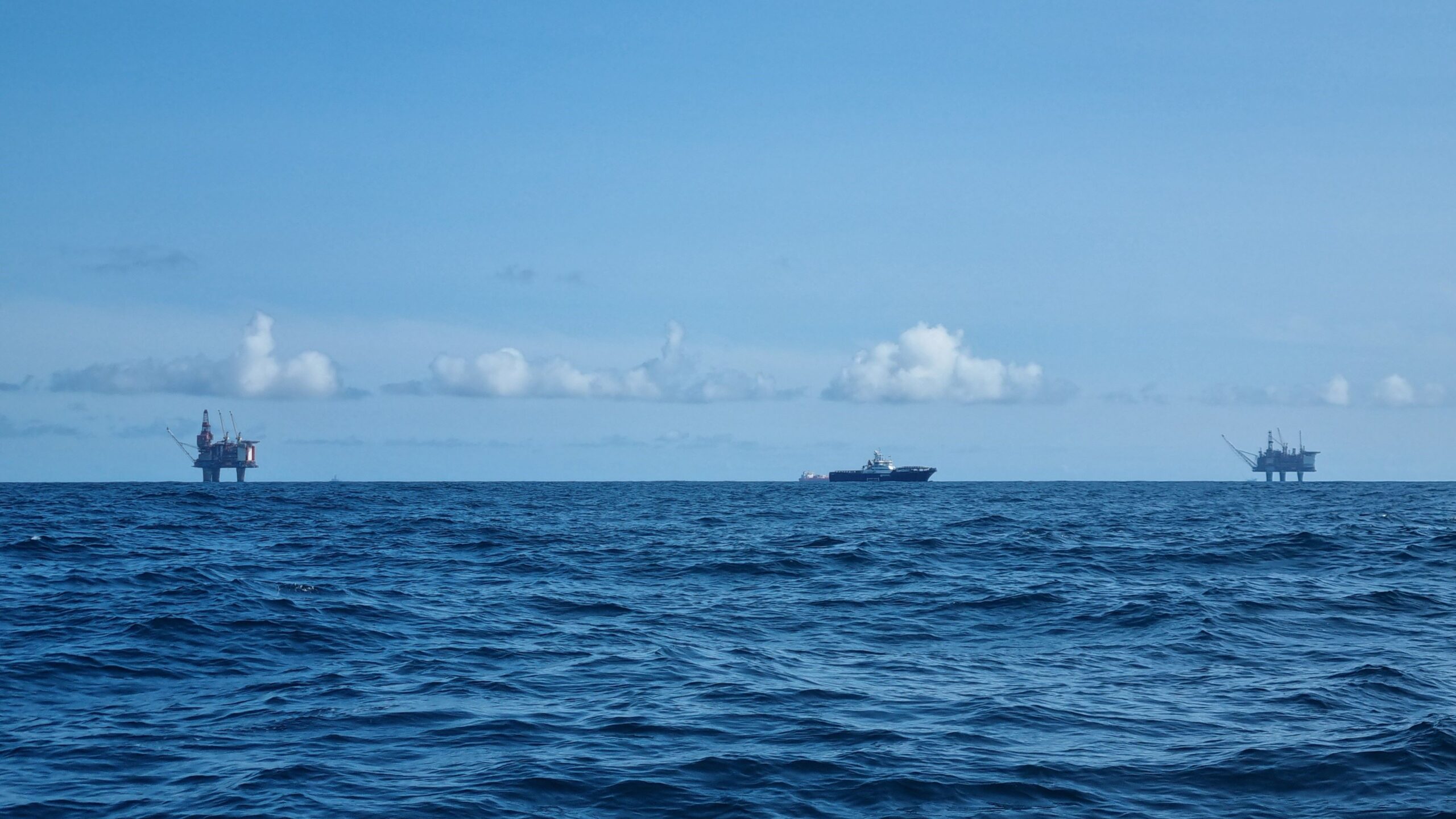
The ocean may be vast, it is yet densely populated here…
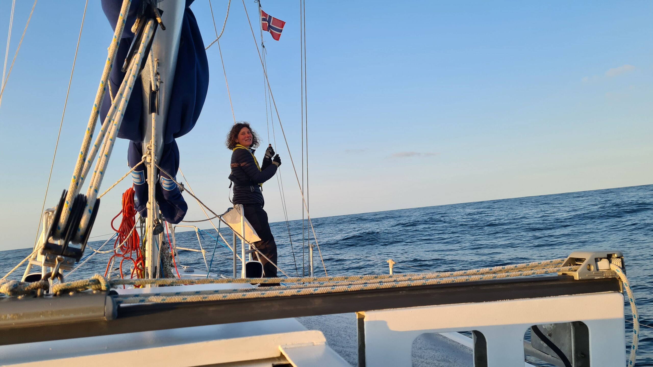
It’s calm, good conditions to swap our courtesy flags.
One last platform in our wake and here we are again, alone with the fulmars, the swell and… and very little wind in fact… We were expecting it, but the second night sets out to be extremely calm. We wake Musclor up and continue our journey motoring in the moonlight.
At first light, that’s around 3:30 a.m., we see the Norwegian mountains on the horizon, then the Stadt peninsula which has such a bad reputation that there are plans to dig a tunnel through the mountain so that boats can avoid having to go around it. It’s very calm and presents no immediate danger today, and yet the wind picks up noticeably near the head which allows us to turn off the engine – finally.
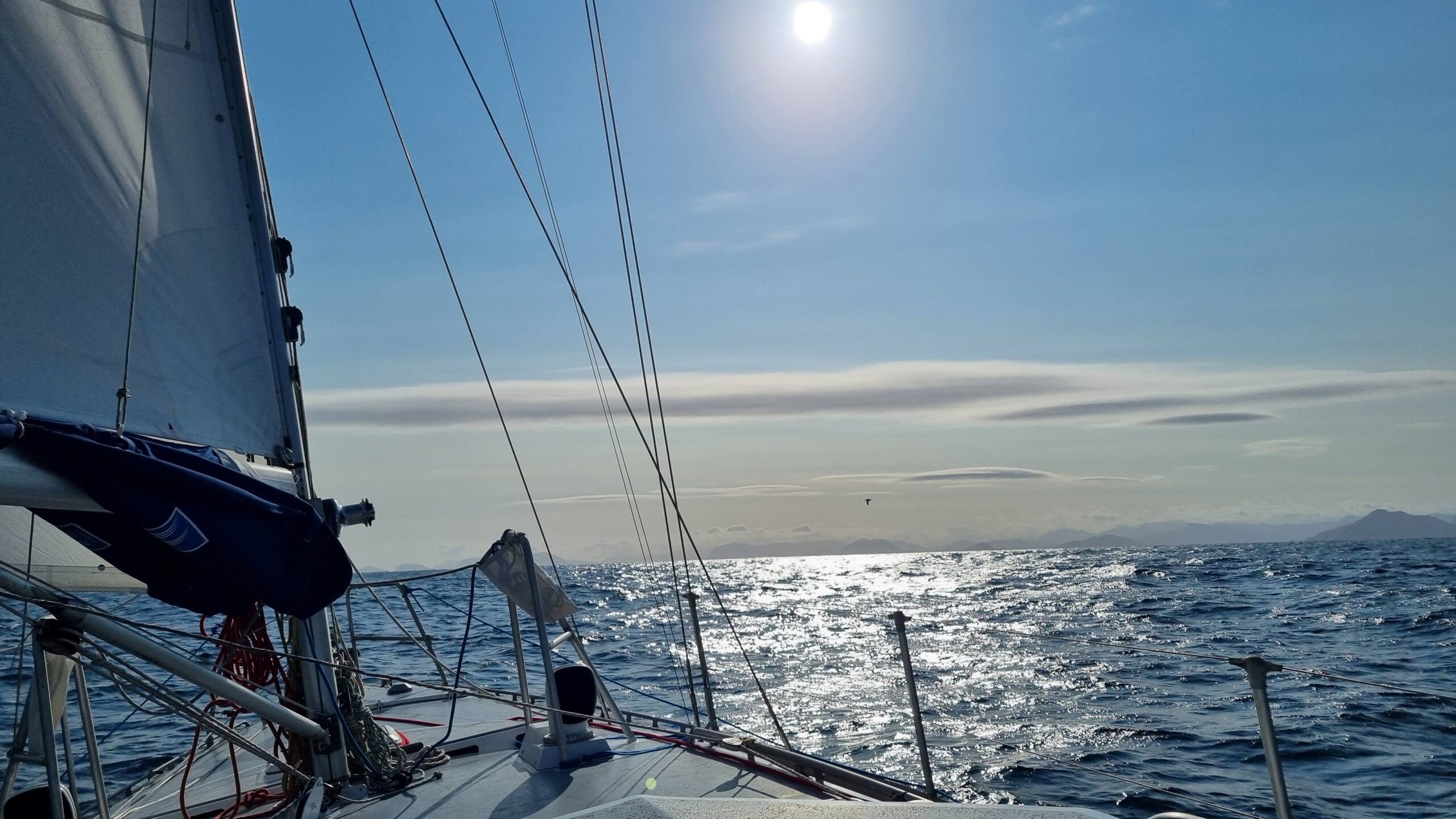
UtPåTur arrives in Norway !
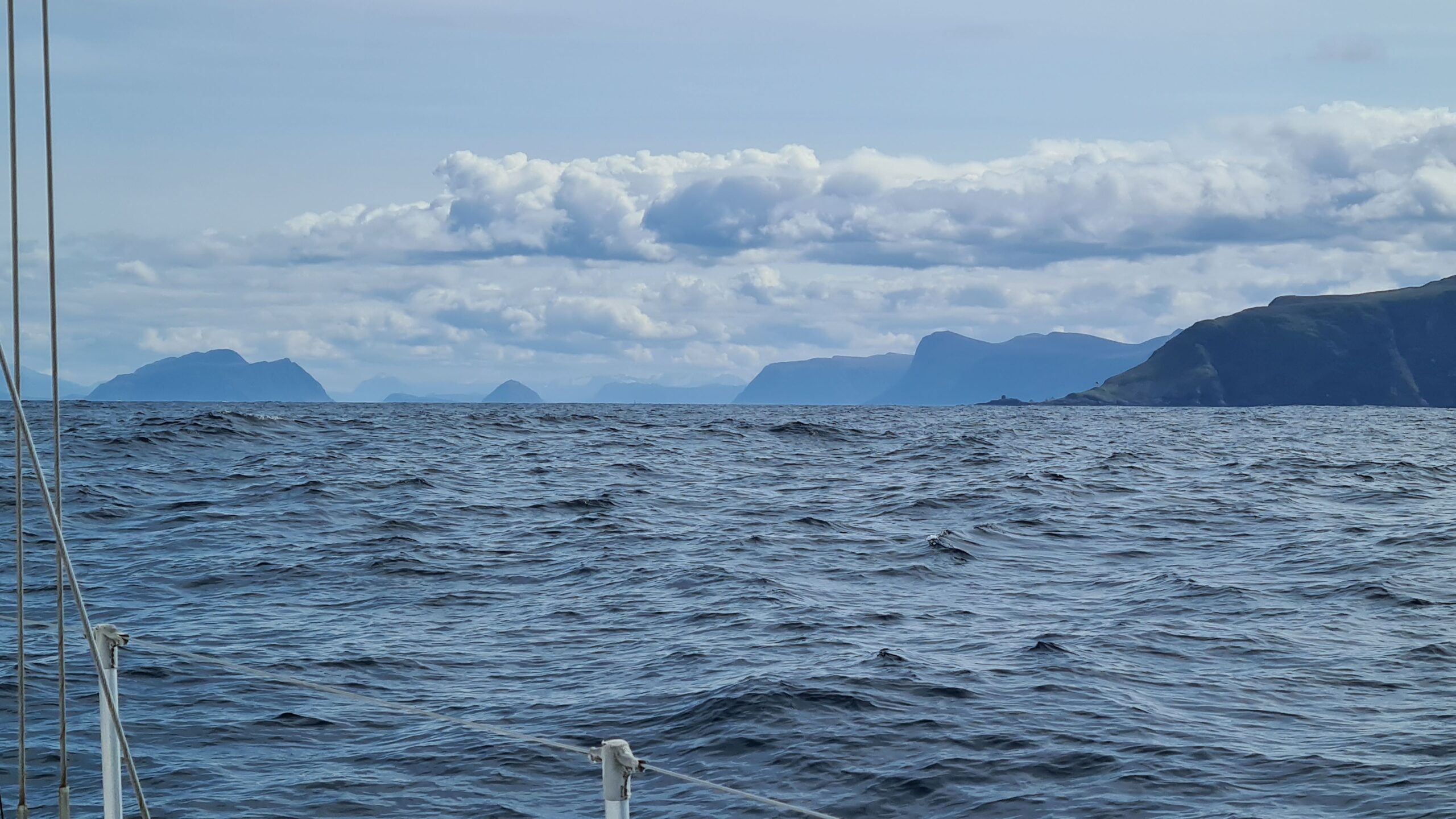
After Runde, the sea interlaces with the mountains…
We continue beyond Stadt, skirting the islands we visited by land a few years ago. We pass very close to Runde, where we have watched, transfixed, fjord eagles catching puffins in mid-flight through a hailstorm…
Ålesund is approaching, as is the south-westerly front which was forecast for the afternoon. It’s time to return to the shelter of the skjærgård (those archipelagos of islands and rocks lining up the entire Norwegian coast). We continue our route with the genoa alone, then staysail alone as the wind picks up sharply. No need to be over-canvassed as we squeeze between the rocks and pass under our first bridge with UtPåTur! Forty-one meters high, it’s a good margin (our air draft is eighteen meters)… the passage between the piles was narrower!
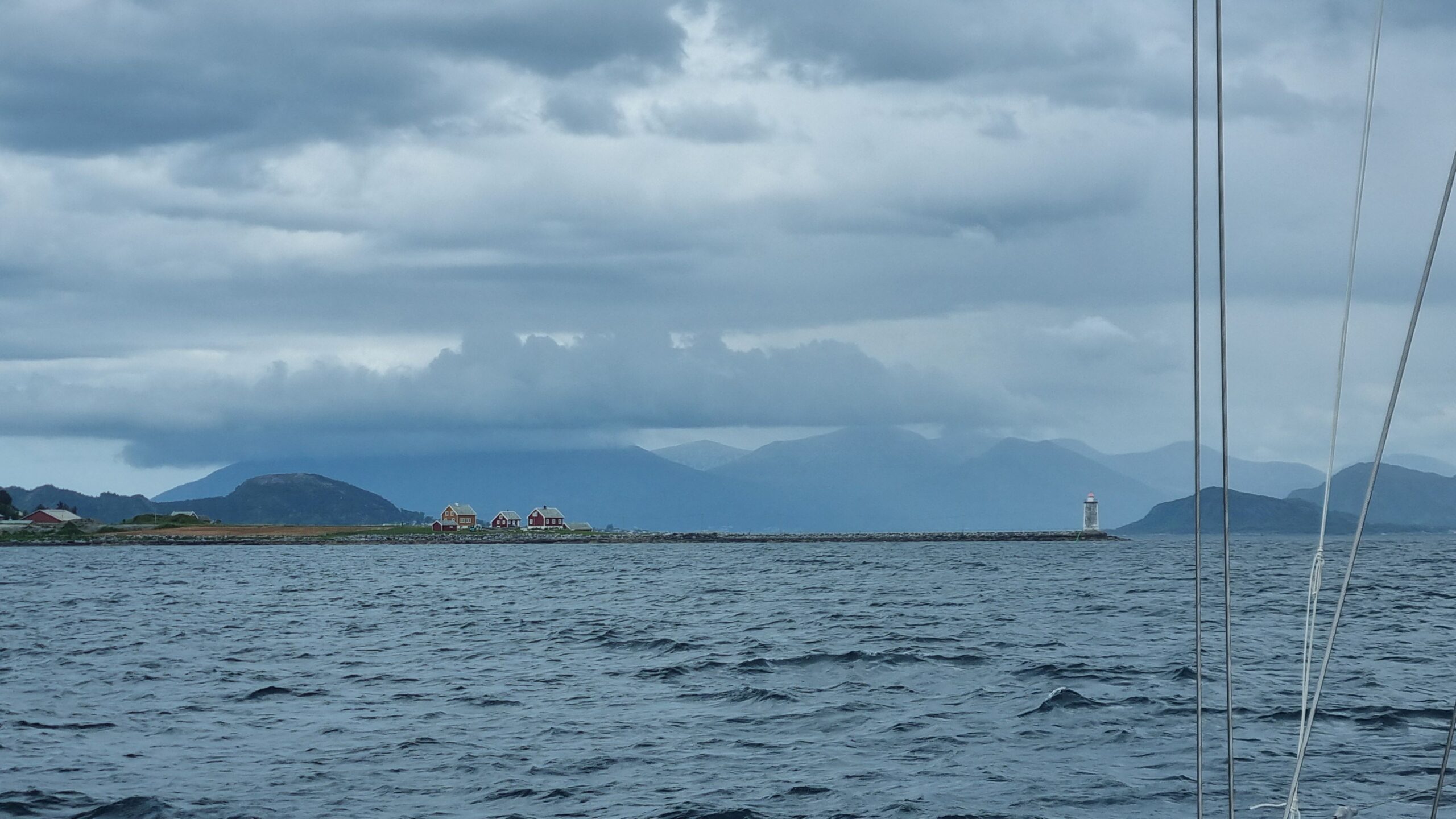
We won’t stop in Ålesund, preferring the shelter of the skjærgård
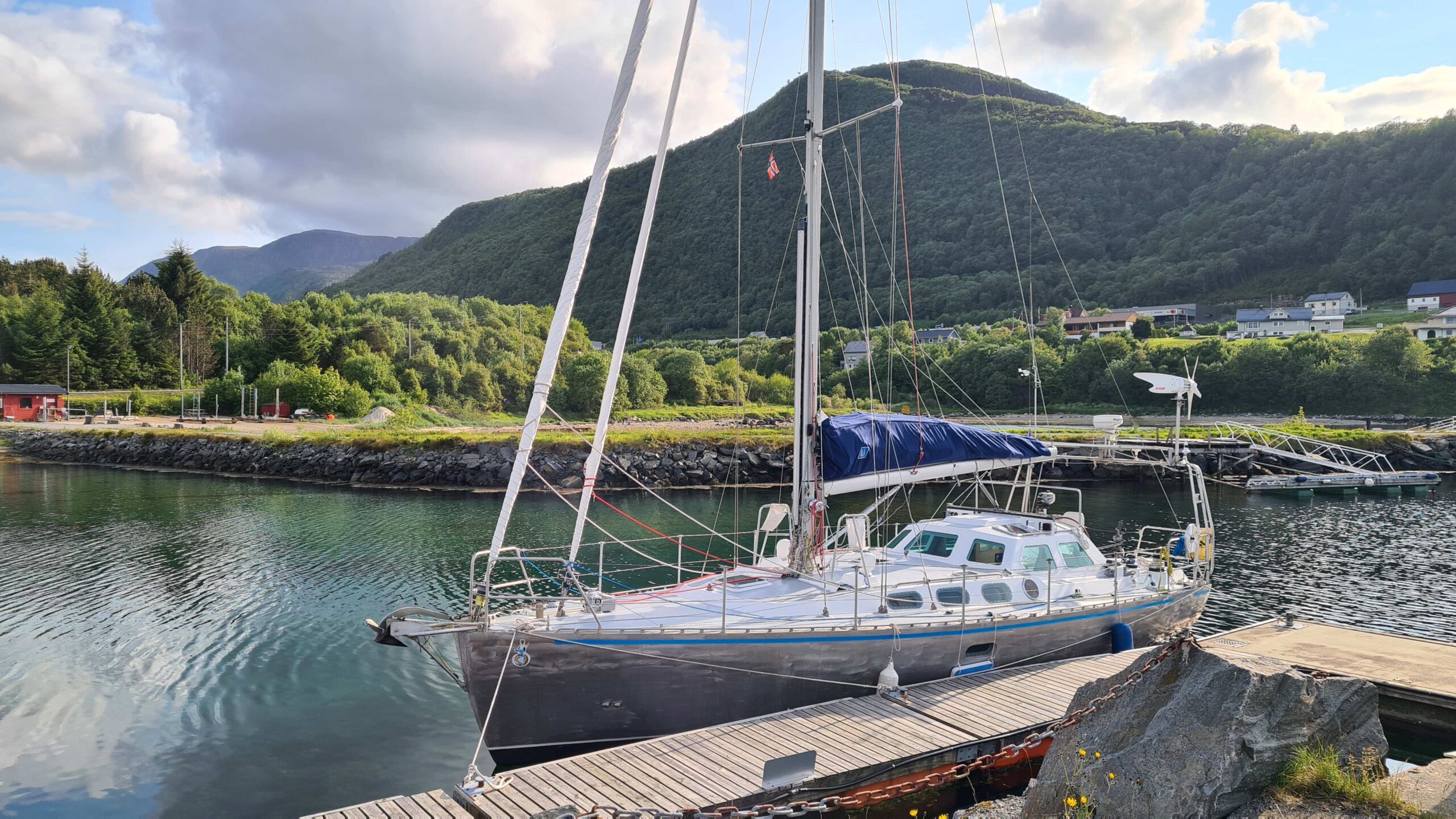
UtPåTur in Brattvåg, Møre og Romsdal, Norway!
Here comes the small port of Brattvåg. There’s only space for two visiting boats and the best spot is already occupied by… a Breton sailboat, how exotic… oh well, we can take the other space with only two meters of depth, we are a centerboarder after all! The mooring lines are tied; we can relax and look up at the surrounding mountains… higher… even higher… there! No doubt, we’ve arrived in Norway!
June 8th : Brattvåg – Bud (24 NM)
It’s hard to get any calmer and flatter than this small, deserted port for the Whitsun weekend, perfect for the loooong night we needed. We even have electricity and a shower included in the 150 nok (€12.50) nightly rate. Who said life was expensive in Norway?
Once rested, we tackle some minor maintenance (putting a spreader bar protector back on and topping up the engine oil), and a long weather/strategy session. Our sight is firmly set on the Lofoten Islands, another four hundred miles away. The conclusion of our study: it’s far away, the wind looks good, but the forecast changes quickly, so better be off without further delay!
A force 6 is forecast for the evening and as we are still a little tired from the crossing, so we begin with a short, easy leg downwind in the Skjærgård. It begins with a squall that hits us at 27-28 knots! Okay, furling the headsails and reefing, we’ve got it under control, but when it comes to dropping the mainsail in the strong downwind we have improvement opportunities…
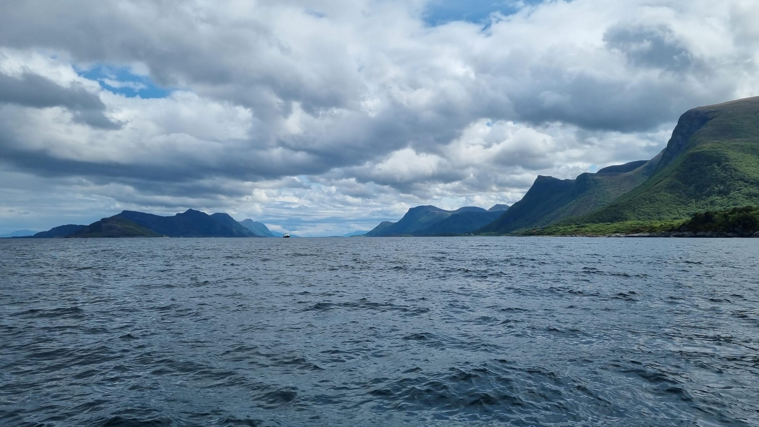
Just out of Brattvåg, view towards Molde
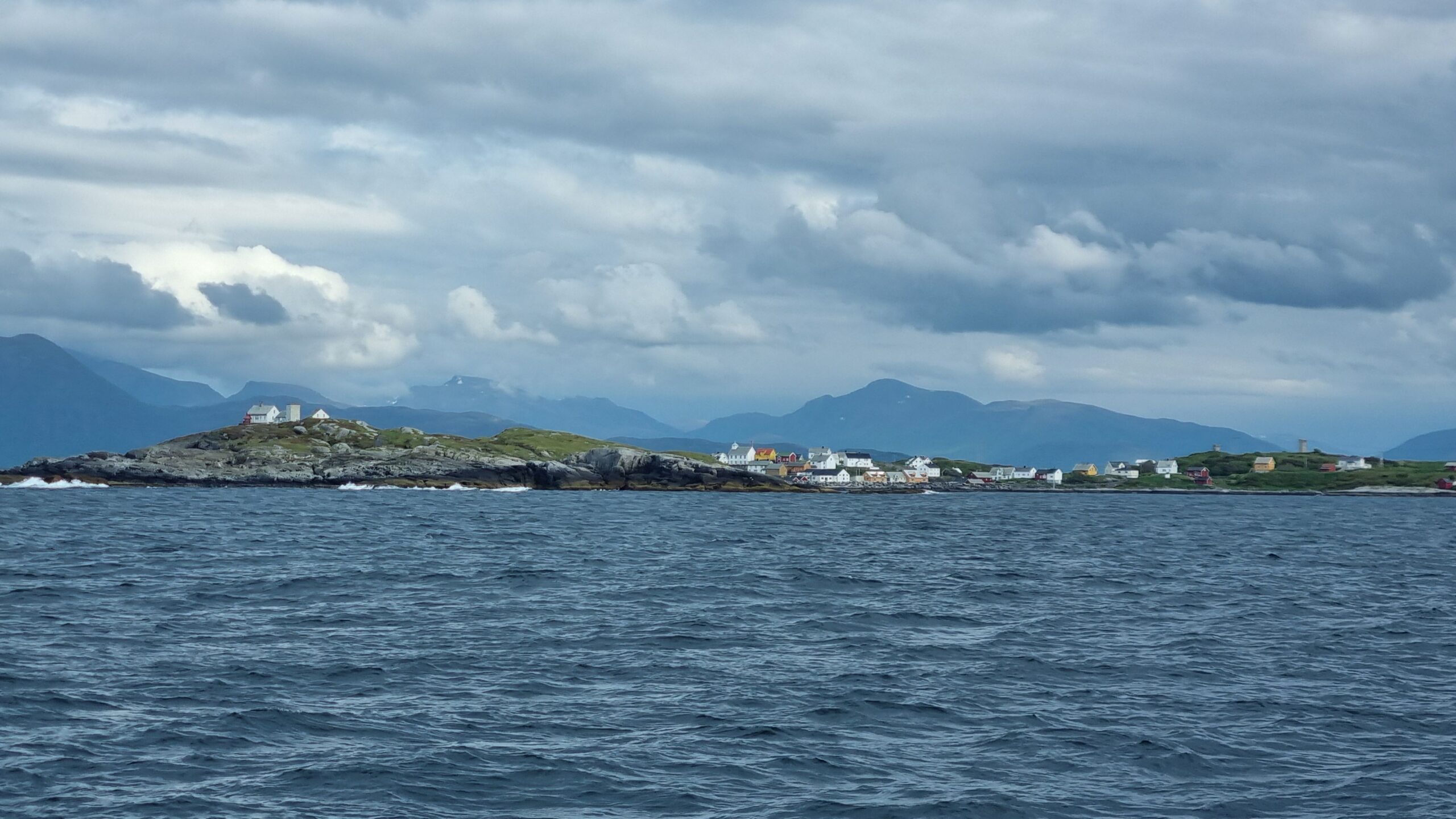
Bjørnsund and its fisherman village
Once the clouds have cleared, the rest of the day is very calm. Plenty of time to admire the snow-capped mountains and the fishing villages on the small islands. How beautiful is our second country!
We reach Bud in the evening just before the wind picks up. We’re well protected but the waves that come in between the breakwaters are quite impressive. We tie the boat up like in a spider’s web with almost all our mooring lines so we can sleep soundly.
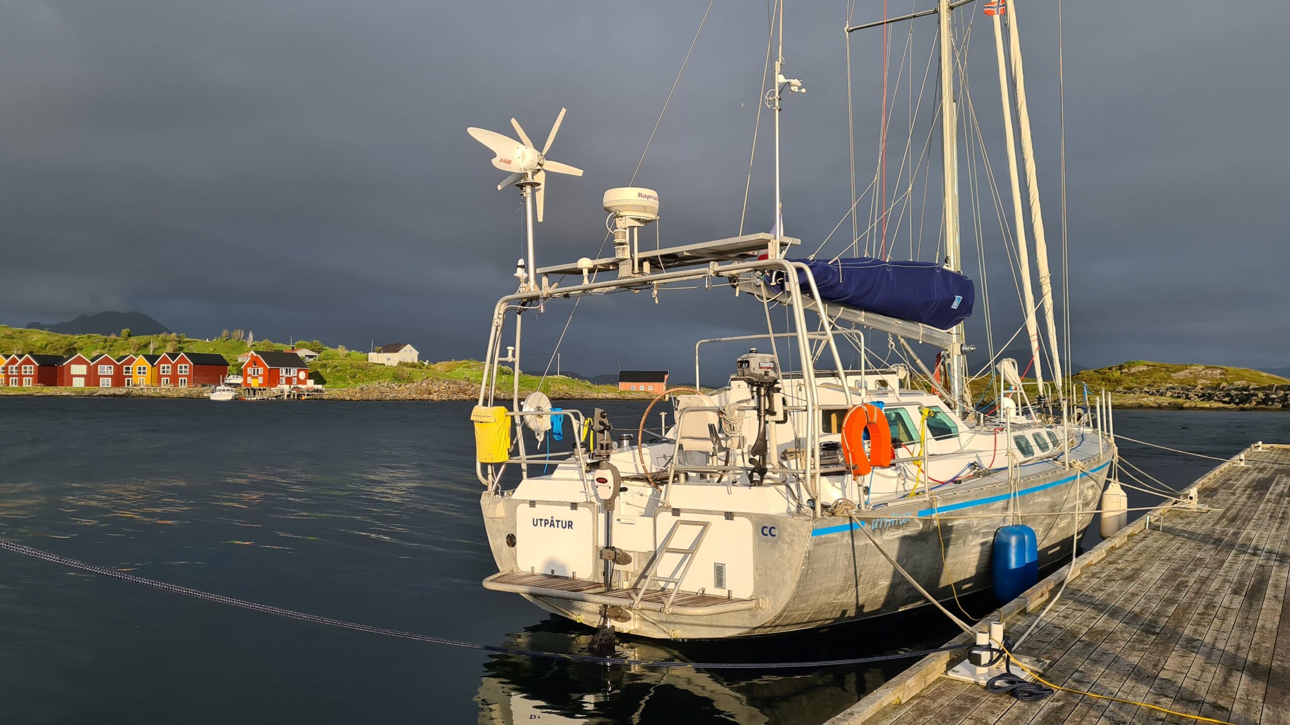
With that many ropes, UtPåTur won’t budge during the night!
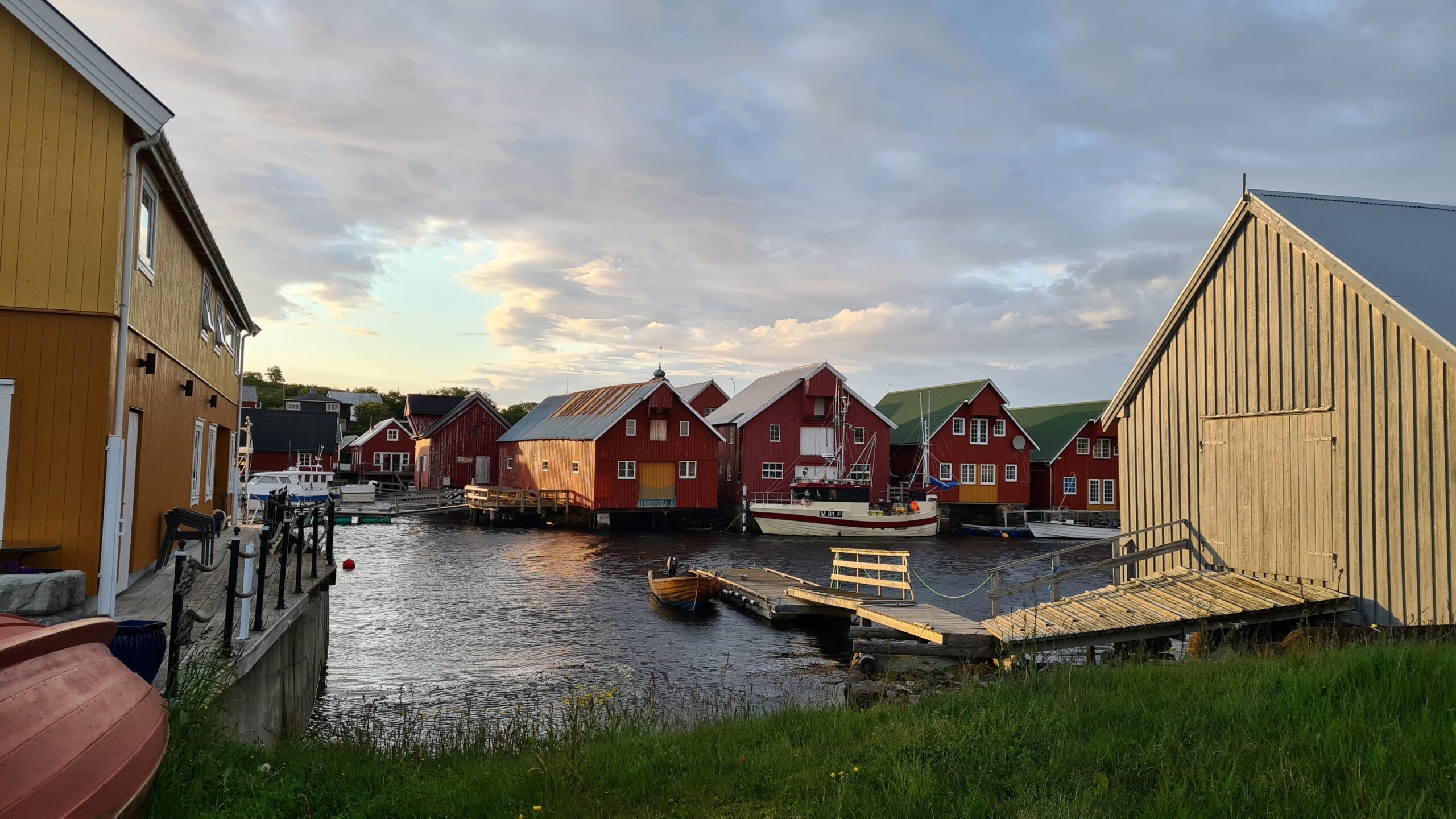
The intricated harbour of Bud, uninteresting they said…
But first, a stroll through this village described as “uninteresting” by the Imray guidebook. In our experience, that’s a guarantee of charm! And sure thing, the place is as cute as can be, especially in the low evening light.
It was in Bud that the survivors of the Viking Sky cruise ship were rescued in 2019. Suffering engine damage just off the village in the notorious area of Hustadvika the ship and its more than a thousand passengers began to drift toward land. It dropped its first anchor… which broke… then its second anchor… which held and saved the boat half a length from the coast and with two meters of water under its keel. The two anchors are on display in the village; they’re impressive! But, hey, isn’t Hustadvika where we’re going tomorrow?
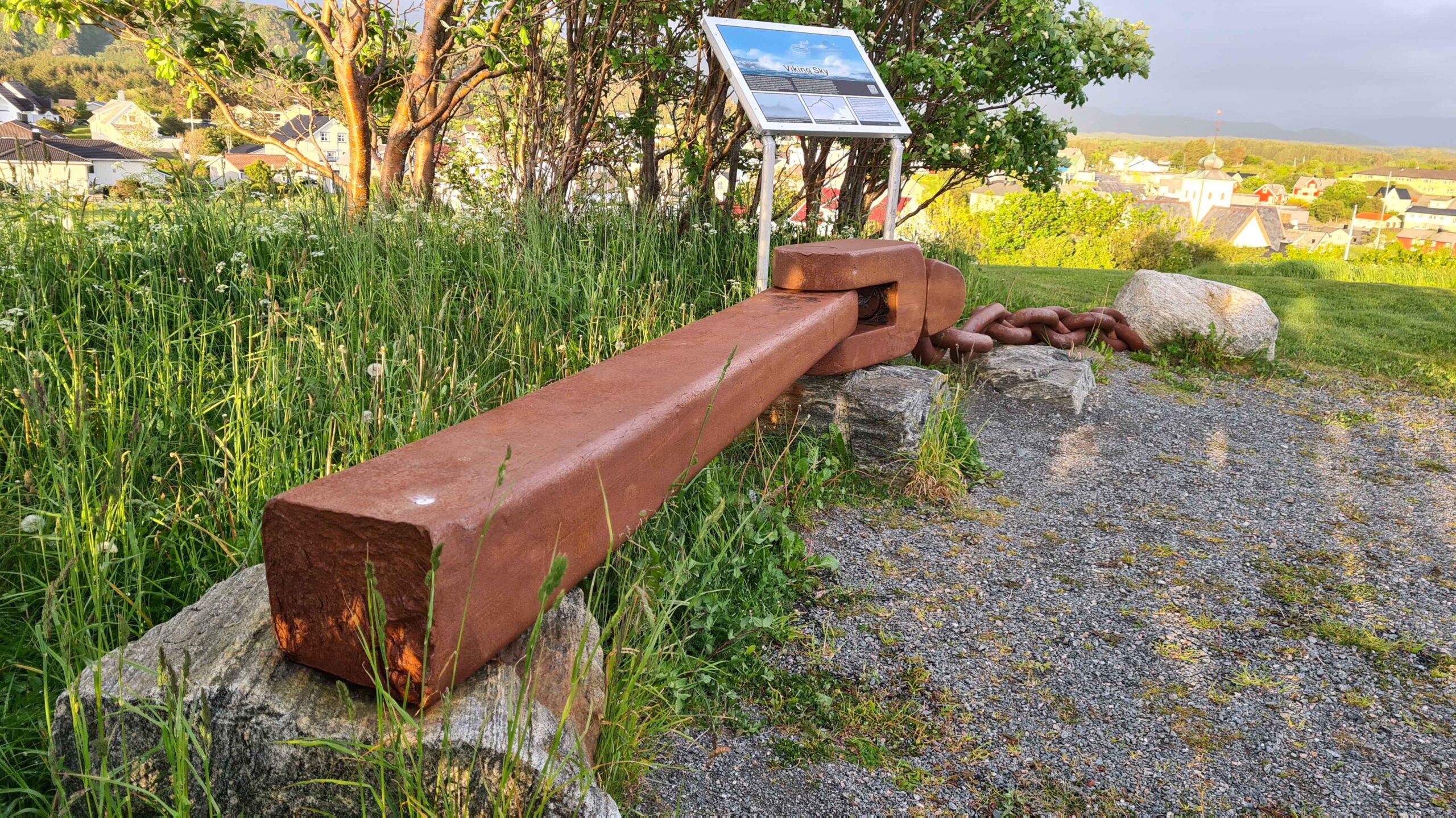
What’s left of the first anchor of the Viking Sky…
June 9th -11th : Bud – Torghatten (253 NM)
The wind has calmed down considerably and we begin through the infamous passage motoring. It’s perfect: we can take the shortcut through the rocky maze!
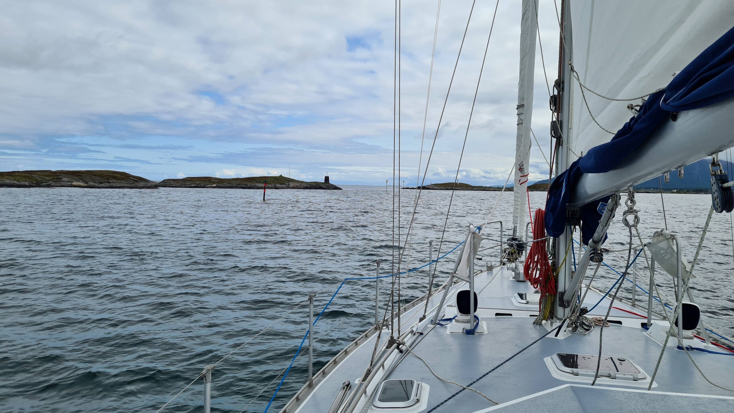
The famous shortcut, plenty of space between the rocks!
Excellent timing, we’re well clear of any hazards when the wind arrives. Forecasted at force three to four, a 25-knot front (force six) suddenly fills the sails. This time we put the engine on to luff and properly lower the mainsail before setting off again full downwind with the genoa alone; it’s more comfortable. Conclusion: the wind is not subtle in this region!
Once this “welcome gust” had passed, the wind settles to the predicted three-four Beaufort, the sky clears and we are able to set on a broad reach course, first with a reef, then even full sail. With these perfect conditions we sail along the bridges of the famous Atlantic Road then past the town of Kristiansund.
The weather is idyllic and we glide downwind along this spectacular coastline. Here comes the island of Tutsna, around which we paddled two years ago. It marks a symbolic crossing for us: 63°13′ North, the northernmost point we’ve ever reached by boat (with Saltimbanque in the Gulf of Bothnia).
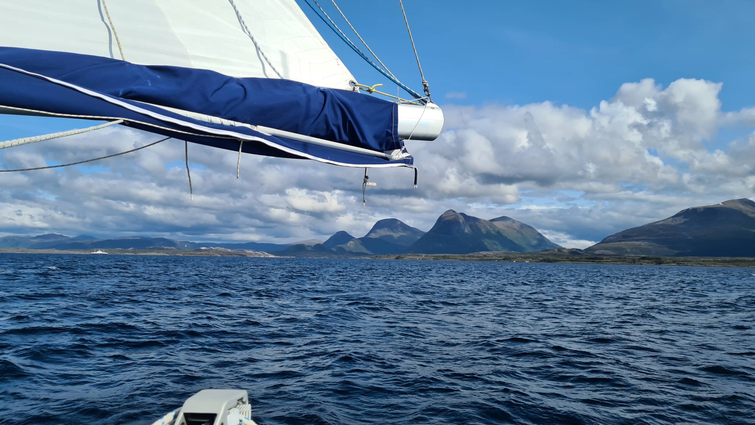
UtPåTur full speed to the North along Tutsna
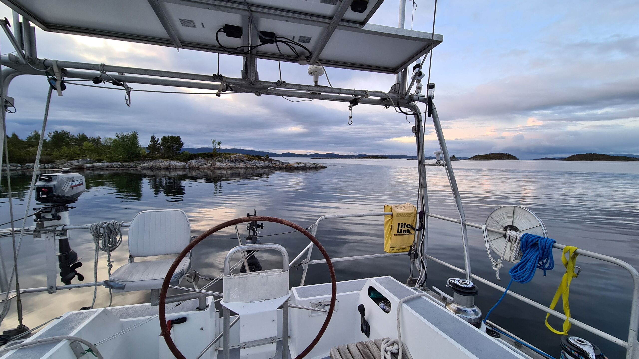
Perfectly sheltered anchorage for the night
At these latitudes in June, it’s not dark at all even though the sun still sets. So, we continue to sail with this wonderful southwest wind until it dies down around 10:30 p.m., then spend the night anchored in a small bay. A perfect day!
Unfortunately, the wind shifts 180 degrees during the night, end of the downwind dream. In the morning, we leave the Skjærgård to beat upwind in the open sea. There’s a good 20 knots and a choppy sea, but UtPåTur is behaving well with a reef and her staysail, and sailing is actually rather comfortable!
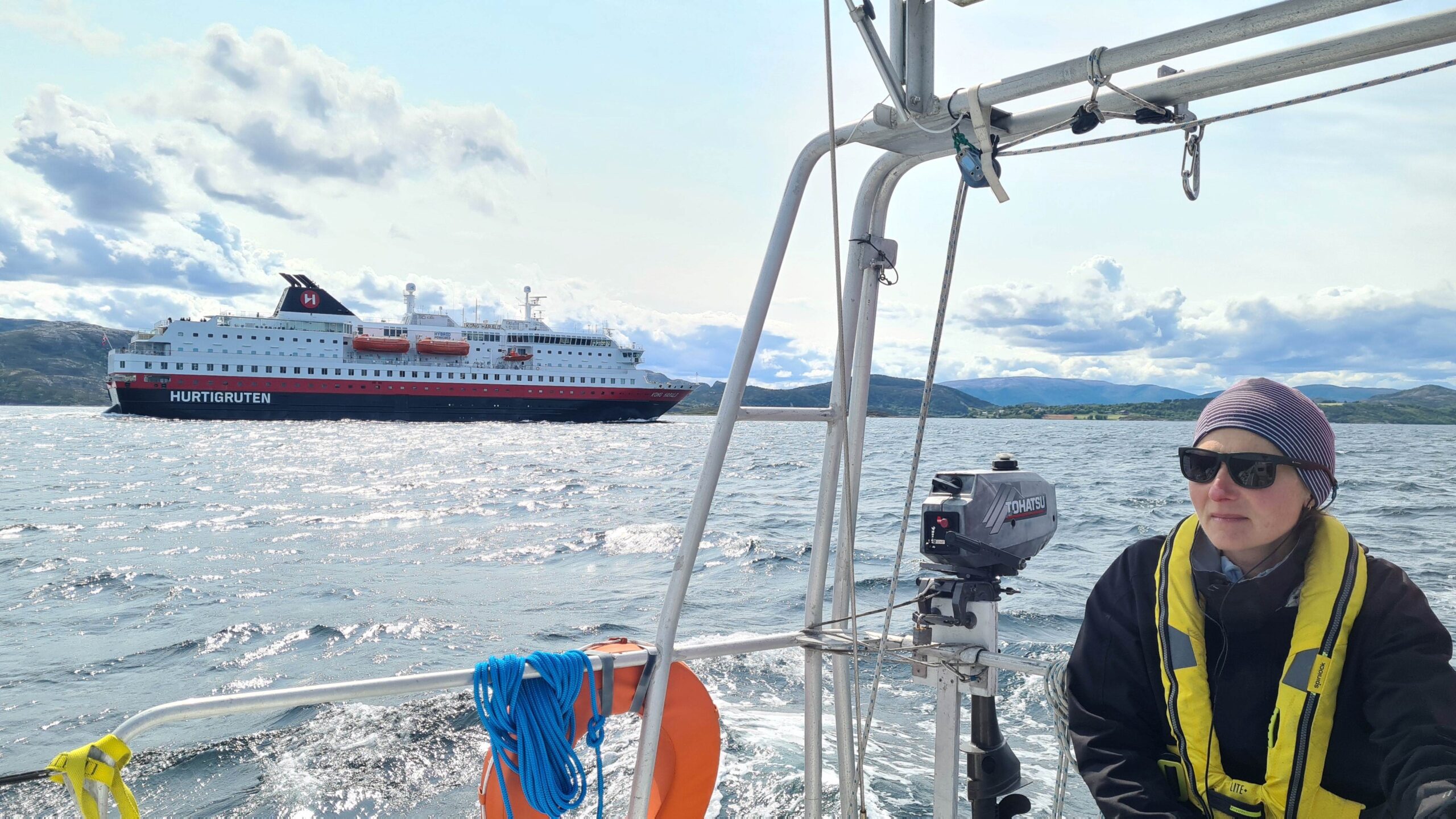
Who will be the faster along Norwegian shores: UtPåTur or the Hurtigruten?
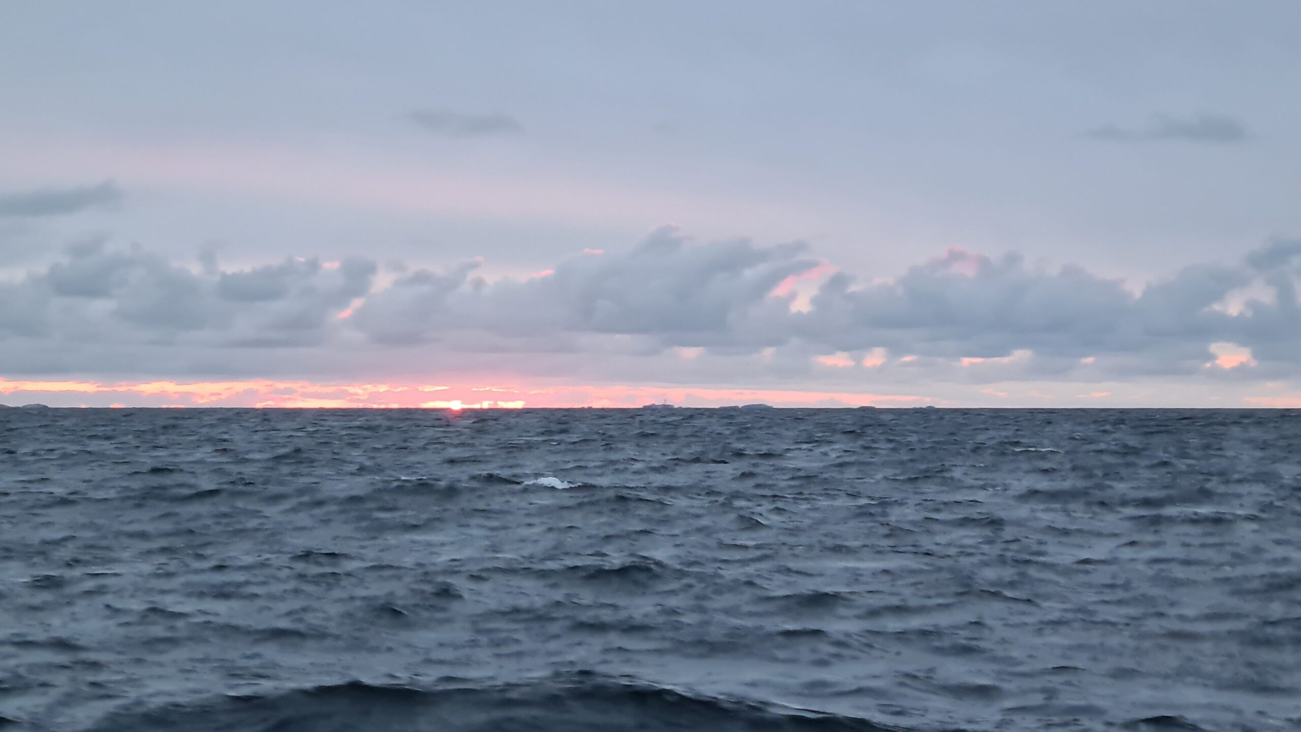
23h45, the sun still sets for about 2 hours
We manage to keep proper three-hour shifts, the “night” watch being much less tiring without darkness. This evening it takes the sun 25 minutes to pass below the horizon, between 11:20 p.m. and 11:45 p.m., before reappearing at 2:00 a.m. Even for us, who are used to high latitudes, it’s impressive…
The wind finally picks up and we can head straight towards Rørvik, a small island town that marks our return to the Skjærgård. Then we round the island of Leka (remember that name…) with its sharp red rocks. This is the beginning of the renowned Helgeland coast which has tempted us during our twelve years in Norway (but was too far to explore in a too short weekend between too long working weeks…). This time, we’re here!
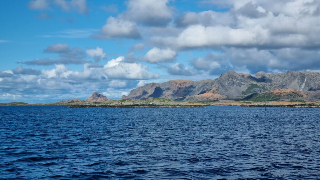
The island of Leka, marking the beginning of the Helgelandkyst
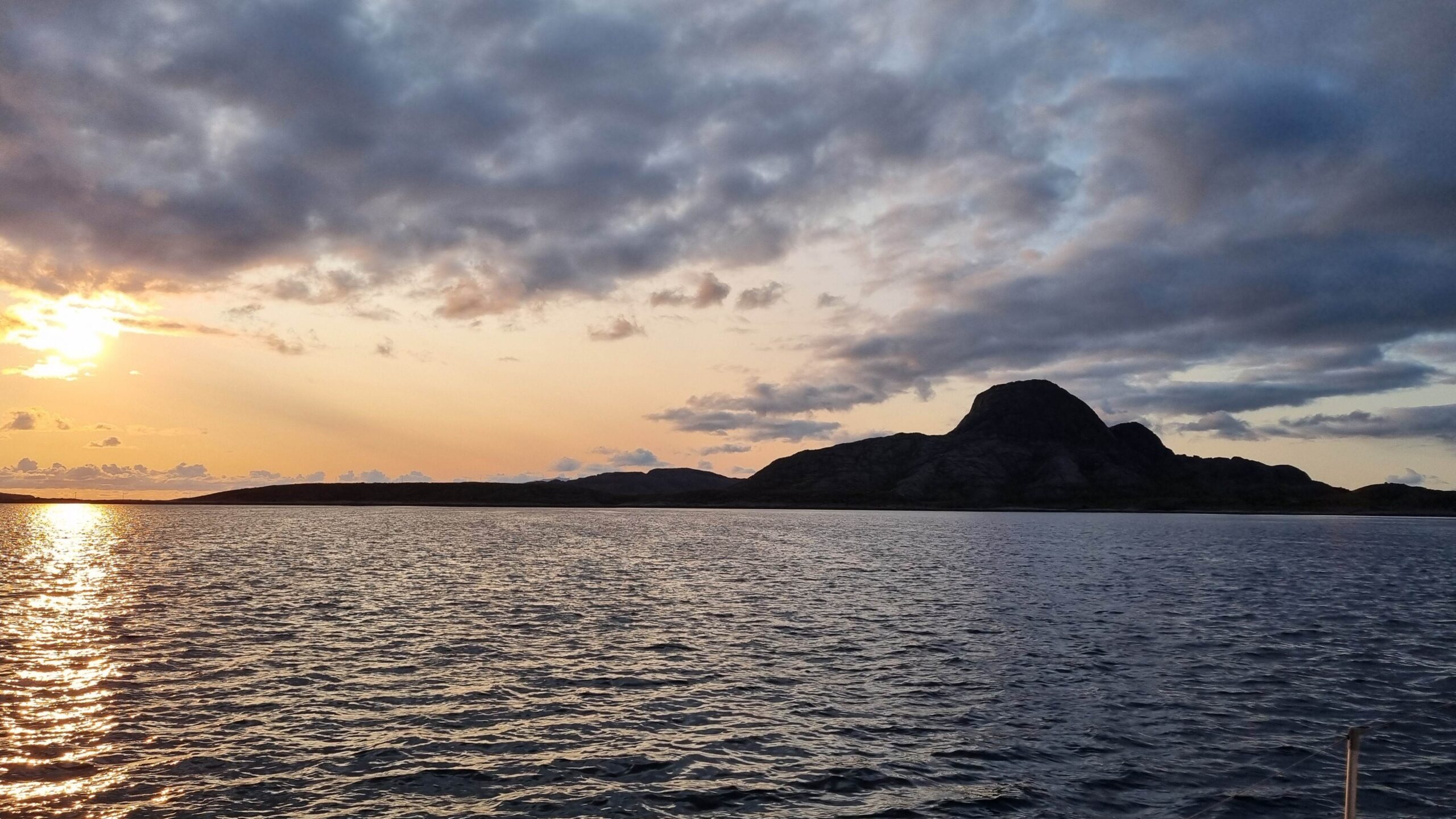
Torghatten dead ahead!
11 p.m., we’re approaching the Torghatten anchorage at the end of this long leg. We’re quite tired as the last twelve hours spent among the rocks required the entire crew on the deck, and we fall asleep as soon as the anchor hits the ground!
June 12th – 13th : Torghatten – Sandnessjøen (43 NM)
Today the weather is splendid and the wind is blowing from the northeast, right in our faces. We decide to treat ourselves to a day off on the small island of Torghatten, which is located right in the middle between the north and south of Norway. Shaped like a hat, it is particularly known for the enormous hole that runs through its middle! A well-maintained hike takes you through the mountain in this large hole.
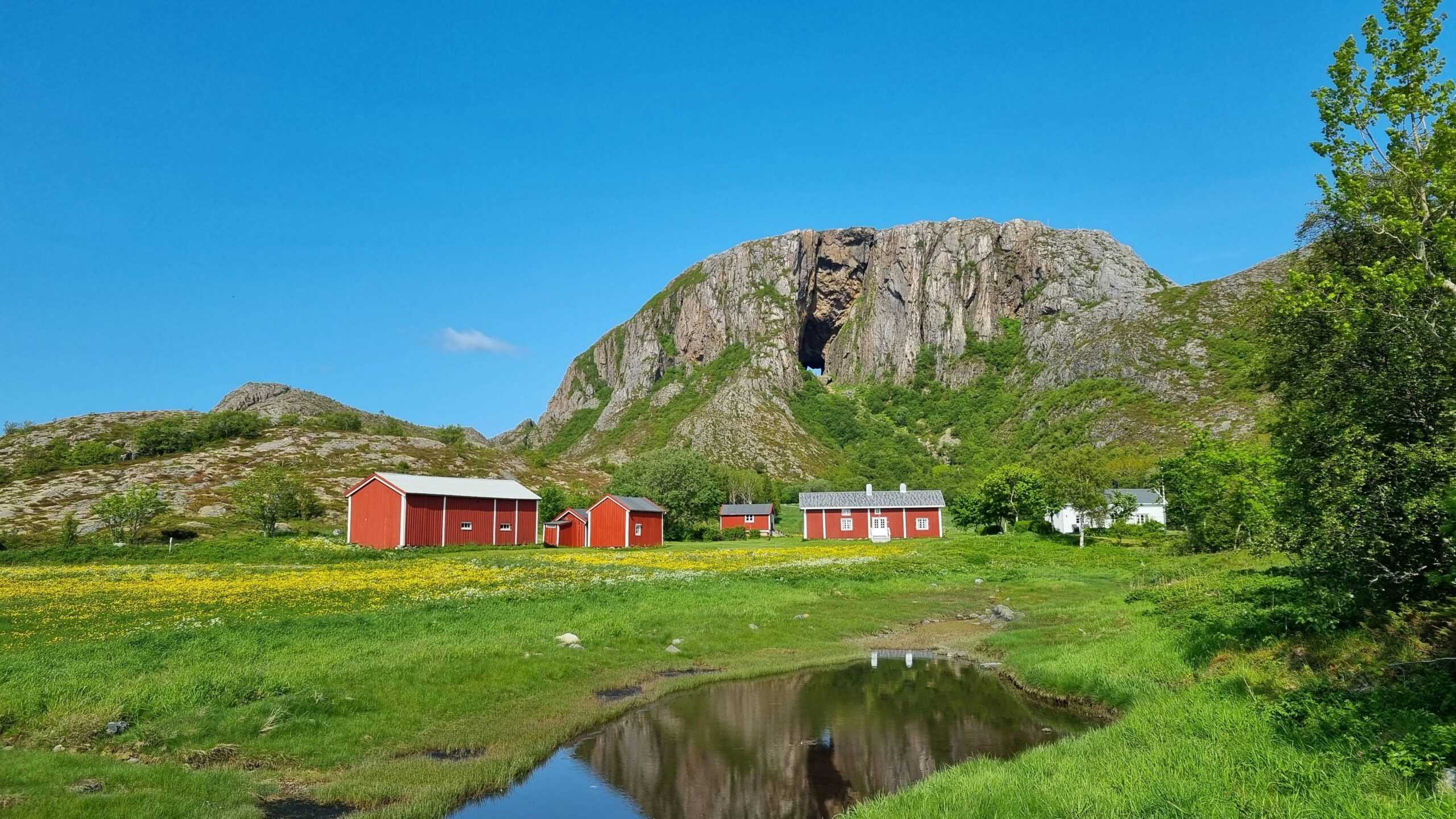
Clearly there is a hole in the hat…
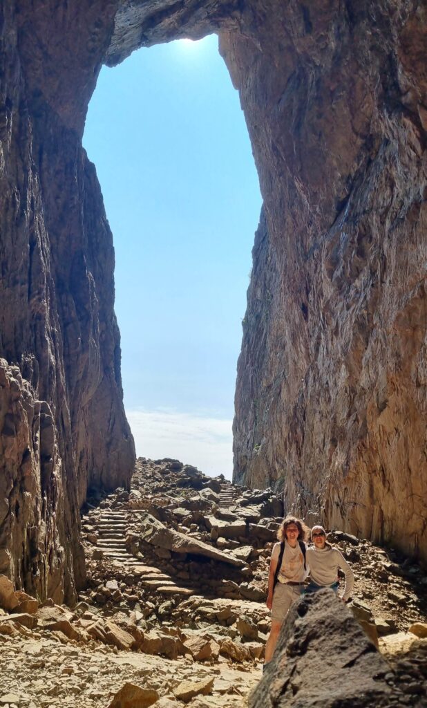
Inside the hole!
But what created such a hole have in the middle of a mountain? It’s very simple: many years ago, in the time of the saga, there lived seven sisters, daughters of King Sulis in Northern Norway. One day, they went swimming in company of their governess Lekamøya, and crossed paths with Hestemann, the only and capricious son of King Vågakallen in Lofoten. He fell madly in love with Leka and decided to kidnap her to make her his wife. Leka, spotting him in the distance, took to her heels, grabbing the seven sisters and fled south! The exhausted sisters quickly stopped while Leka continued and outdistanced her pursuer… Furious, Hestemann shot an arrow at the unfortunate girl. Luckily the king of Brønnøy saw everything: he threw his big hat to stop the arrow, which ended up with a hole… At this moment the sun rose and all these lovely creatures being Trolls, they were petrified on the spot and turned into the islands and mountains that today line the shores of the region! Another theory to explain the hole in the mountain talks about marine erosion when the sea level was higher – but that’s just boring! In any case, for centuries, the Torghatten hat has greeted sailors on their route between the North (to fish cod) and the South (to sell it in Bergen and beyond).
Back to the boat after this entertaining walk to prepare for the rest of the trip. We already had a reputation for leaving at any time of the day or night as long as the wind was right… without night things are not likely to any better. The wind turns south after 1 a.m.: at 1:30 a.m. we weigh anchor and resume our journey!
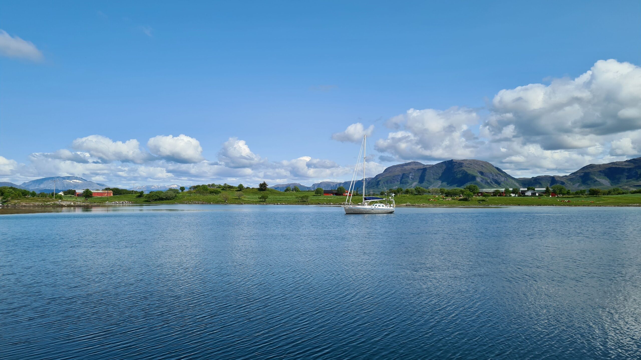
A really nice stopover !
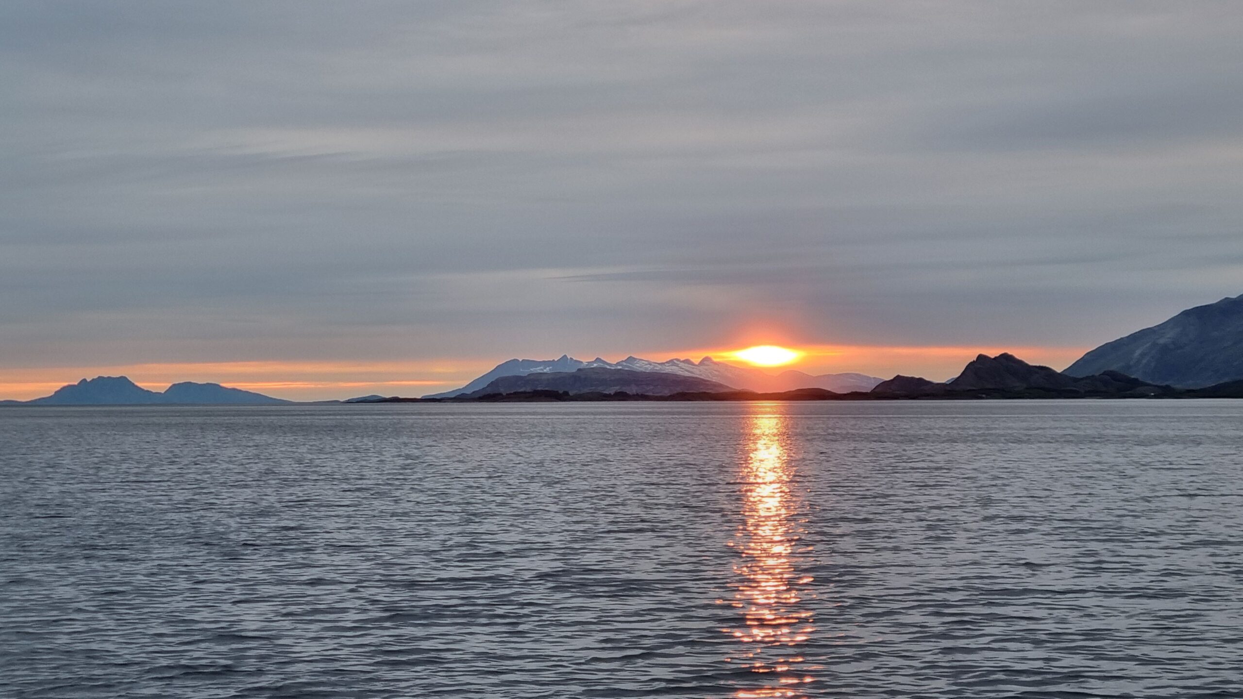
2 am, the sun rises over the 7-sister mountains
We’re staying in Skjærgård today, witnessing a beautiful sunrise through the town of Brønnøysund. A few islands later we’re sailing along the Seven Sisters mountain range, all covered in snow, which makes us realize that we’re truly in Northern Norway this time…
Taking the next exit we’re arriving at Sandnessjøen. It’s only 10:30 a.m.; the days are longer when they start early! Sandnessjøen is a logistical stopover: we need to do some shopping (including shrimps from the fisherman on the next pontoon), some laundry, fill up our water tank… The weather is beautiful and warm and we treat ourselves to an ice cream, our third of the trip! With a few rare exceptions, we’ve had the same weather since February in Brittany: 8 to 15 degrees, sea temperature at 11 degrees…
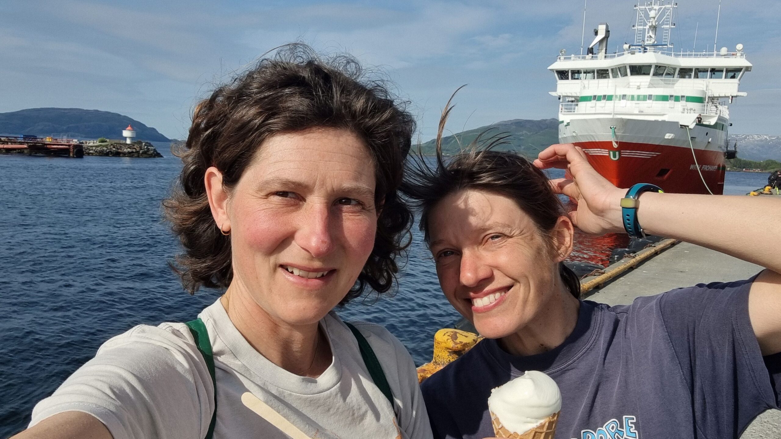
Ice creams and T-shirts, one needs to make the most of these rare summer days!
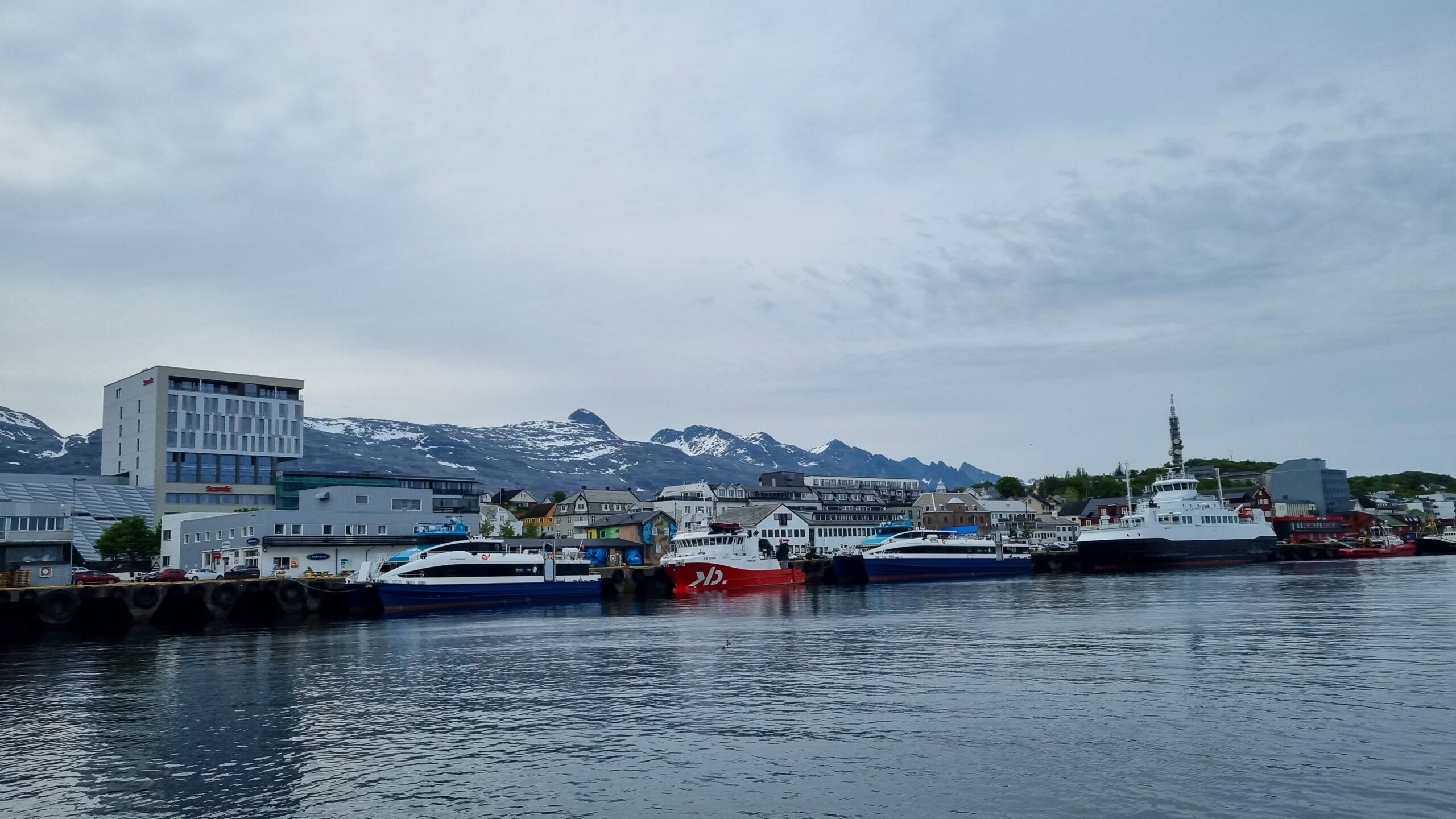
Sandnessjøen, a practical more than scenic stopover, still a nice town
Looking at the weather on the Norwegian app (Yr) we notice that as sunset time, they predict midnight sun until July 1st. How is this possible while we are still south of the Arctic Circle? Indeed, the Arctic Circle is defined using the middle of the sun as a reference, not the last ray. The sunrise we saw that very morning was therefore our last sunrise for several weeks! We don’t know if it’s to celebrate the occasion of the first all-nighter of the year, but a big concert is planned right under the boat’s windows tonight… The band (the Publiners) is very cool and anyway we are so tired after this long day that we fall asleep as if nothing had happened!
June 14th – 15th : Sandnessjøen – Lovund (26 NM)
Good weather never lasts; it’s a dull, grey sky when we set off again the next day. A sporty start with a south-westerly wind clearly accelerated by the surrounding mountains, but on a completely flat sea in the Skjærgård. UtPåTur is seen speeding over 9 knots… Things calm down as the surrounding islands flatten out and the rest of the trip is uneventful until we reach our destination, the island of Lovund.
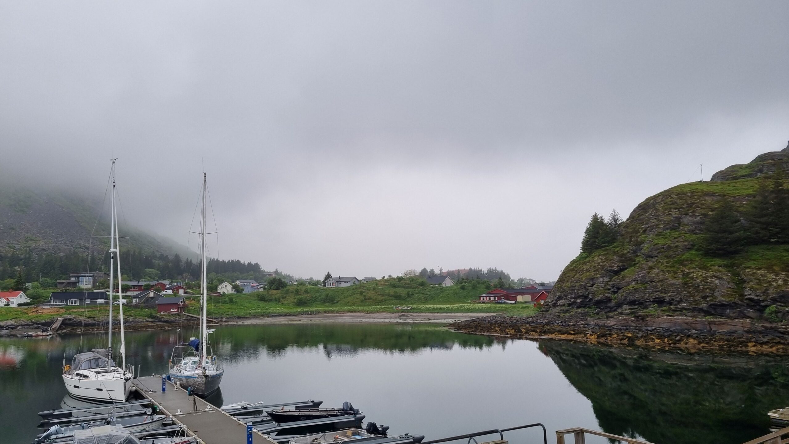
Lovund, it is said to be beautiful?
Lovund is known for its puffin colony, which apparently all arrive on April 14th at 6 a.m. That’s good news, as we’ve been missing seabirds lately! But actually, the walk to their colony turns out to be rather frustrating: access to the cliff is prohibited during the nesting season and we only see the birds from afar, in full flight.
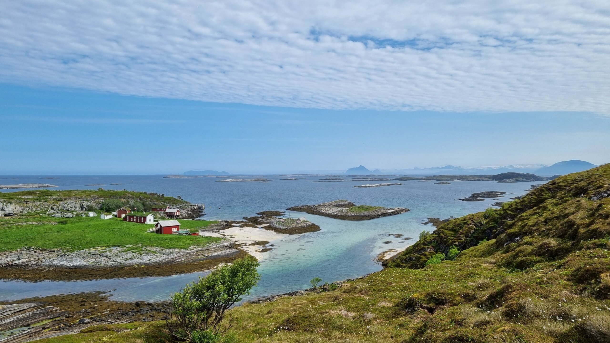
Lovund, Helgelandkysten, Northern Norway..
Too bad, we continue the hike along the shore and to the northern head of the island. All the ingredients that make Northern Norway so magical are there: steep mountains dropping into the water, snow-capped peaks on the horizon, little red houses, a maze of islands as far as the eye can see, white sand beaches and turquoise water… Our only regret: the “multer” (delicious orange berries found only in the wild) are still in bloom…
Better to look offshore, as the village itself is the opposite of cute. A sprawling fish-factory development dominates the whole eastern shore, underpinning a thriving local economy (there’s even a start-up incubator in the town centre!) … so, offshore: the view of Træna Island is breathtaking. This is where the Arctic Circle passes… We’re so close! We just have to wait for this strong northeast wind to change…
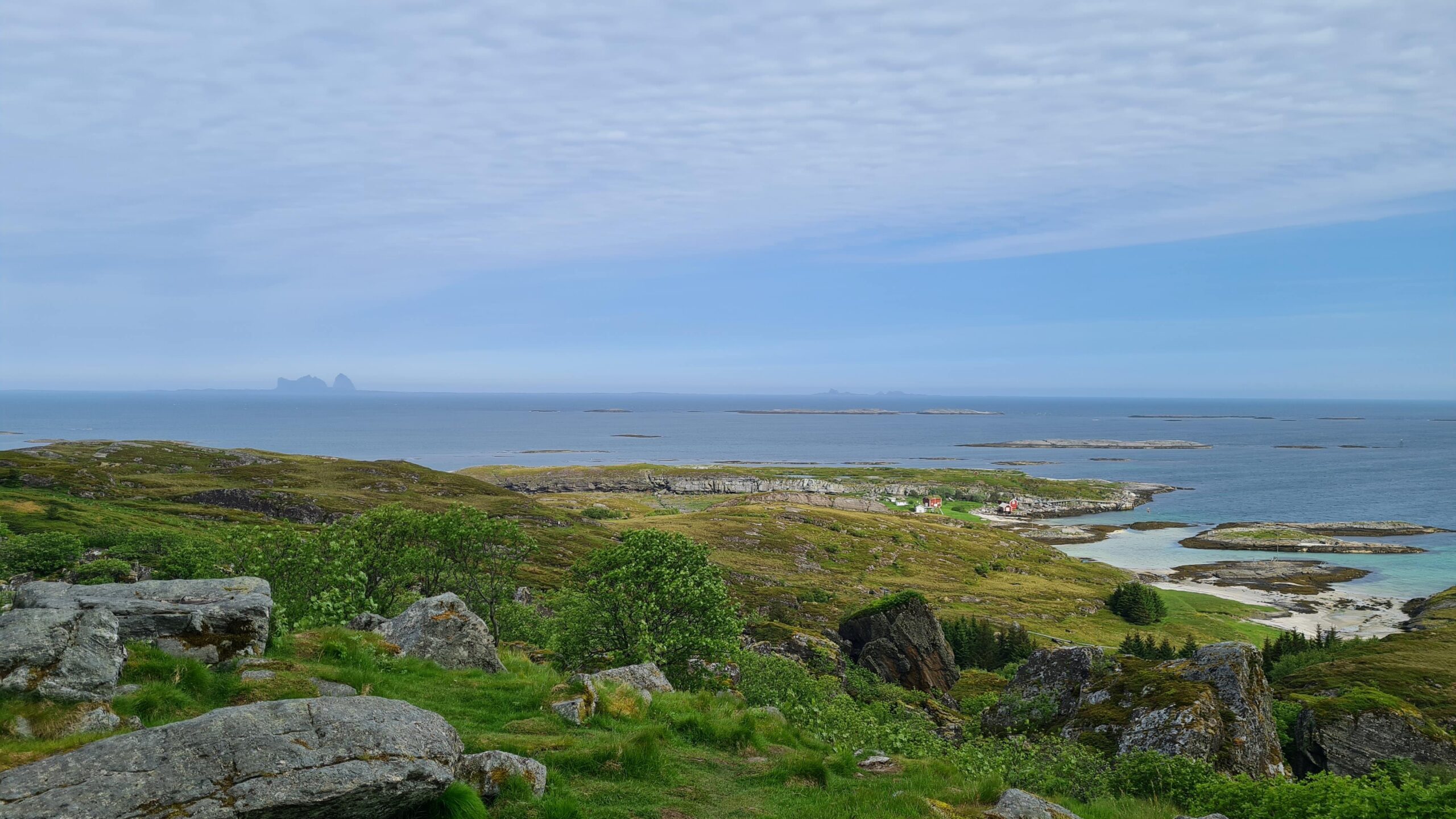
Træna on the left on the horizon materializes the arctic polar circle…
June 16th: Lovund – Værøy (82 NM)
All we had to do was ask: the next morning the wind shifts to the southwest… but it also brings rain! This will be a windy and wet affair… We can already picture ourselves nice and cosy upstairs in the lookout spot while UtPåTur glides alone with the genoa out in the strong wind…
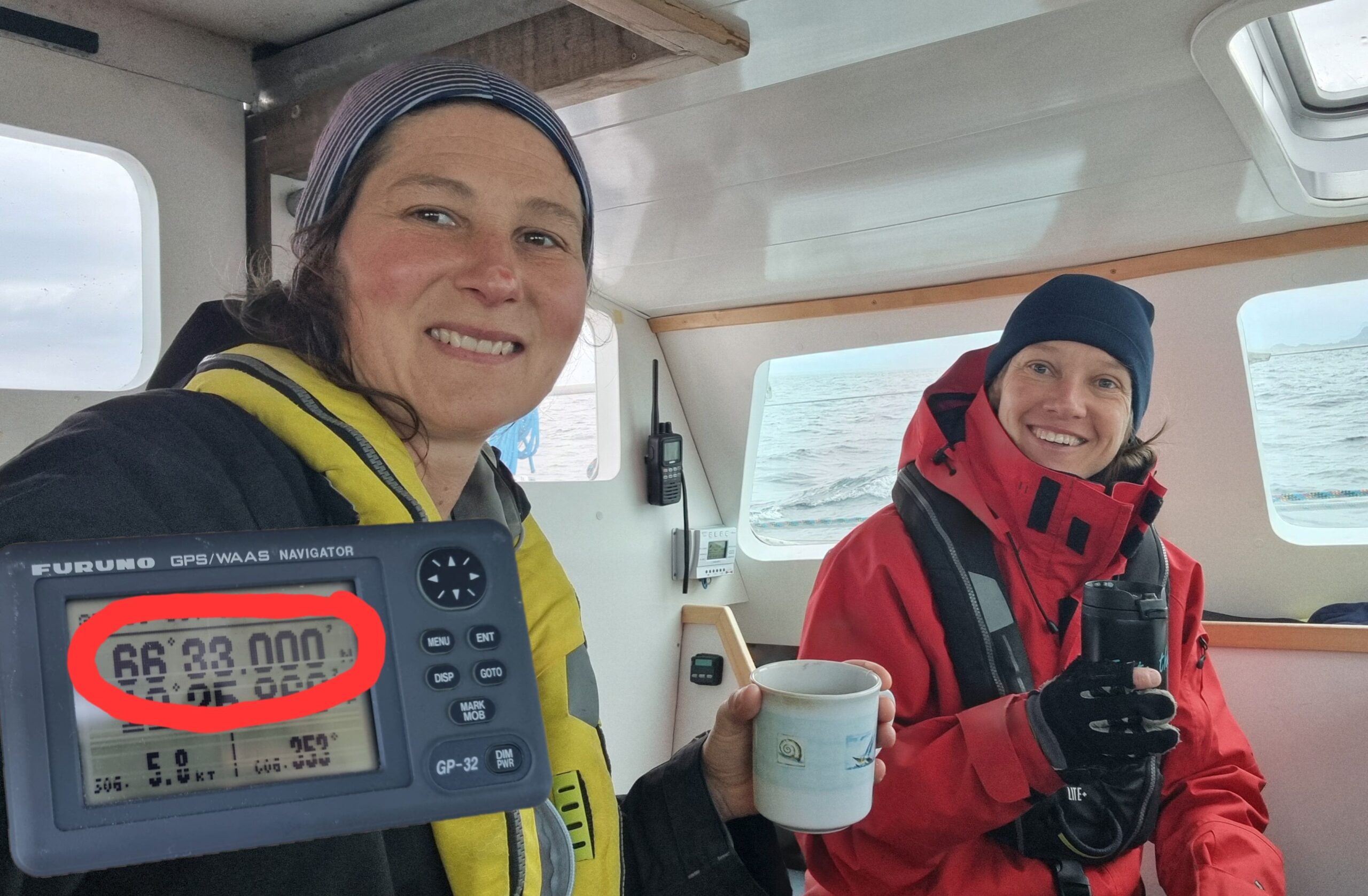
This is it, we are sailing in the Arctic!
Reality is different. After a few gusts between the islands the wind drops desperately and we have to go out to manoeuvre: hoist the mainsail, then pole the genoa to sail goose-winged since we are dead downwind. It’s not the easiest course because this sail configuration forces us to constantly manoeuvre with every change of wind: take in a reef, shake it out, gybe, furl the genoa when the wind finally picks up quite a bit, then unfurl it again. The rain, however, is constant: we are sitting nice and cosy upstairs, door closed, when we cross the Arctic Circle! 66°33’N. Here we are, officially in the Arctic Ocean… enough to give, if not vertigo, at least shivers!
After sixteen hours of wet, cold and choppy sailing, we happily see the island of Værøy emerging from the mist, and more relieved to find the only two visitor berths empty. We approach the pontoon, between sheer mountains and racks of drying cod. Here we are: we’ve reached the goal of our trip this year, the Lofoten Islands!
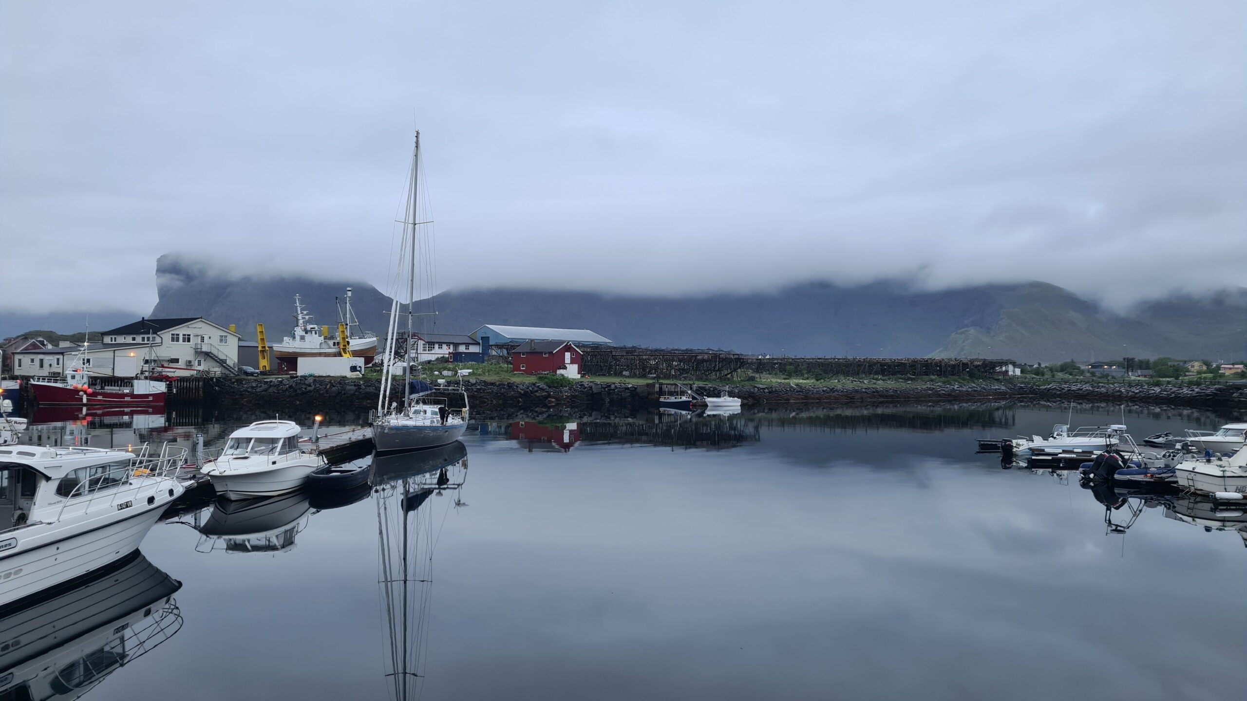
Half past midnight, UtPåTur moors in Værøy, we made it to the Lofoten!
 PDF
Many congratulations on an incredible “shake down sail”…and unless I’ve missed something, you haven’t even broken everything! Meanwhile, why did you expect anything other than “wet, cold and choppy sailing”? Surely that’s a good day in Arctic waters 😉 It’s not original, but “better a bad day on the water than a good day in the office”. Well done team booby 👏
Team booby appreciates your kind words and encouragements 😜
And definitely confirms your analysis on a bad day on the water vs a good day in the office 👏