
The full photo album here.
June 17: stopover in Værøy
After sixteen hours of wet and cold sailing from Lovund, we snuggle under the duvet for a long sleep, barely disturbed by the sound of incessant rain pattering on the deck.
It calms down a little in the morning before returning in force in the afternoon. Now is the time to venture outside. We are the only sailboat in the harbour, probably the only sailboat on the island that seems exclusively dedicated to fishing. Here, as in many ports in Lofoten and the Vestfjord, cod is king. Most of the fishing takes place in winter when the fish come to breed on the Norwegian coast, then cods are left to dry for months on large wooden trestles. We wonder how anything could dry in this wet weather and without being eaten by seagulls, yet this technique has been used here for centuries.
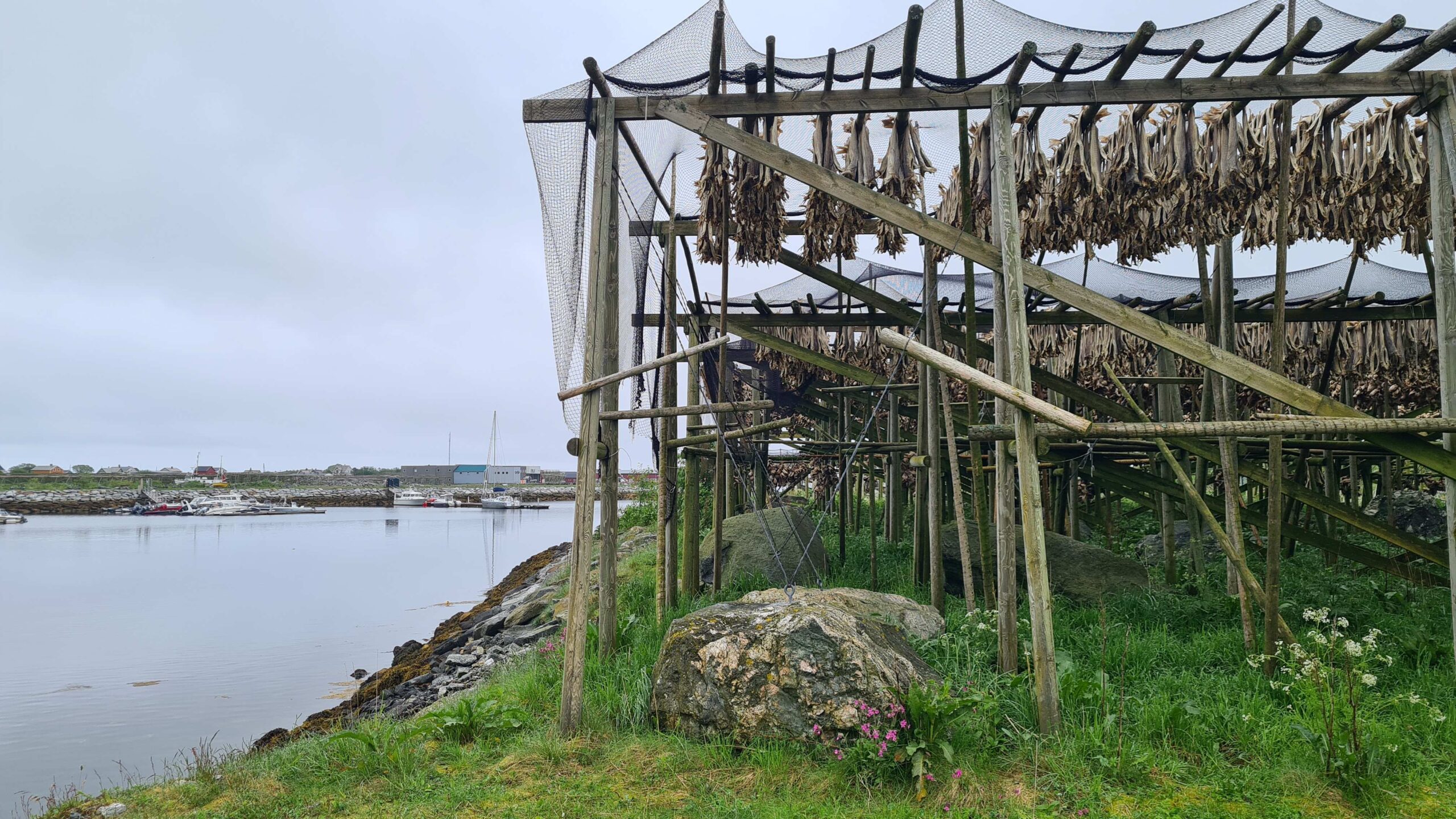
Dried fish are usually taken down in late May or early June, but there are still a few left here.
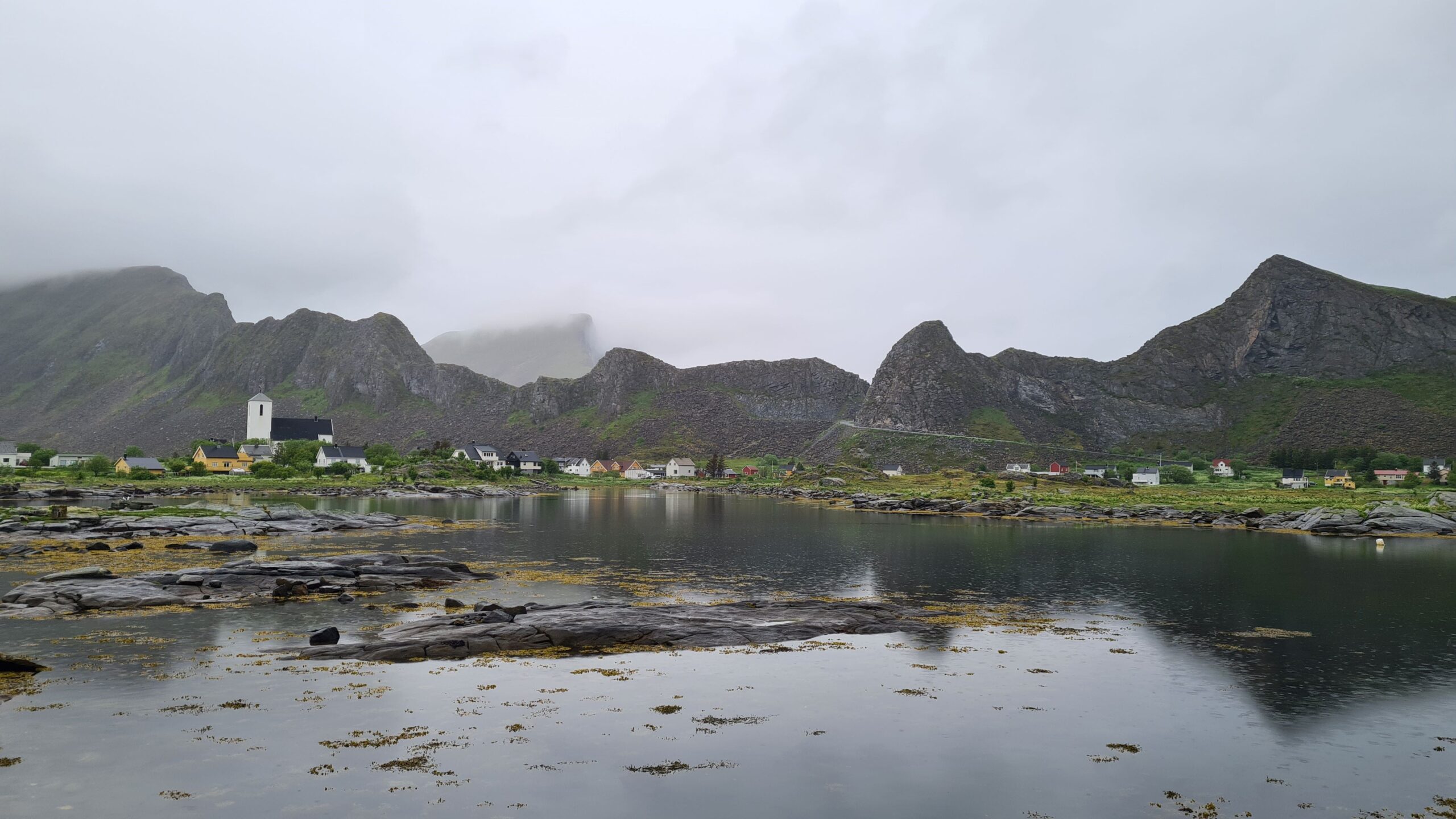
The village in Værøy and the famous mountains
Beyond the drying racks and docks, Værøy remains a small village at the bottom of a large Y-shaped mountain ridge, home to numerous wild birds. Among them, puffins (which the locals hunted with a particular, endemic breed of dog) and eagles (which they lured to shelters where they caught them with bare hands). At least, that’s what we read on the tourist information signs in town, because in this overcast weather we can barely see the top of the church steeple…
Our attempt of a short walk at sea level turns out to be particularly unpleasant in the tall wet grass and we promptly return to the comfort of the boat for the rest of the day. We have some sleep to catch up on anyway!
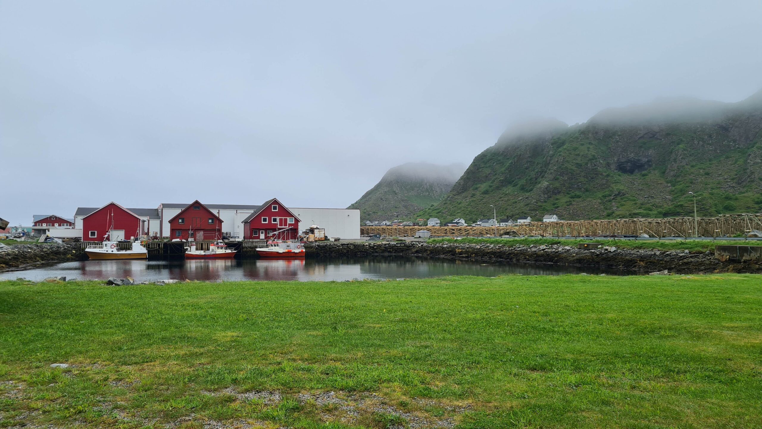
We only saw the fishing side of Værøy
June 18-19: Værøy – Moskenes (19NM)
As soon as we wake up, our eyes turn toward the mountain. And no, we still can’t see it… The weather is definitely cloudy and the southwesterly wind is about to turn northeast (in our faces) in a few hours. We decide to leave Værøy without having seen much of it and head for the greater Lofoten Islands.
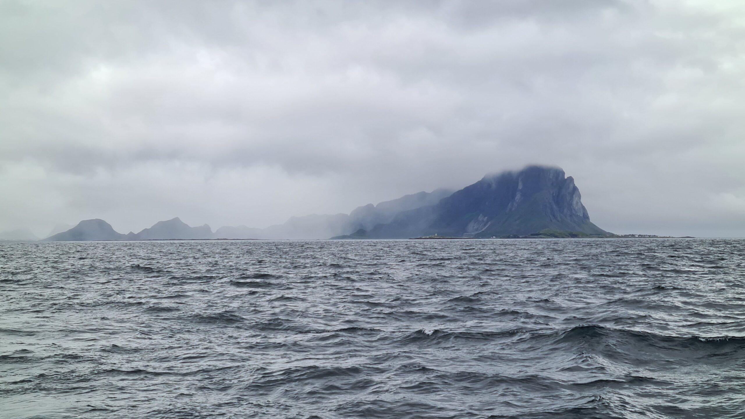
Bye Værøy, the weather was definitely not on your side…
The route passes along the Moskenstraum, better known by the name Jules Verne chose for it: the Mælstrøm. Its reputation is somewhat overblown; in reality it rarely exceeds six knots, but we still make sure to catch the favourable current; old habits!
Værøy disappears into the mist, then Moskenesøy, the large southern island of Lofoten, slowly appears. A few peaks begin to emerge from the still dense cloud cover.
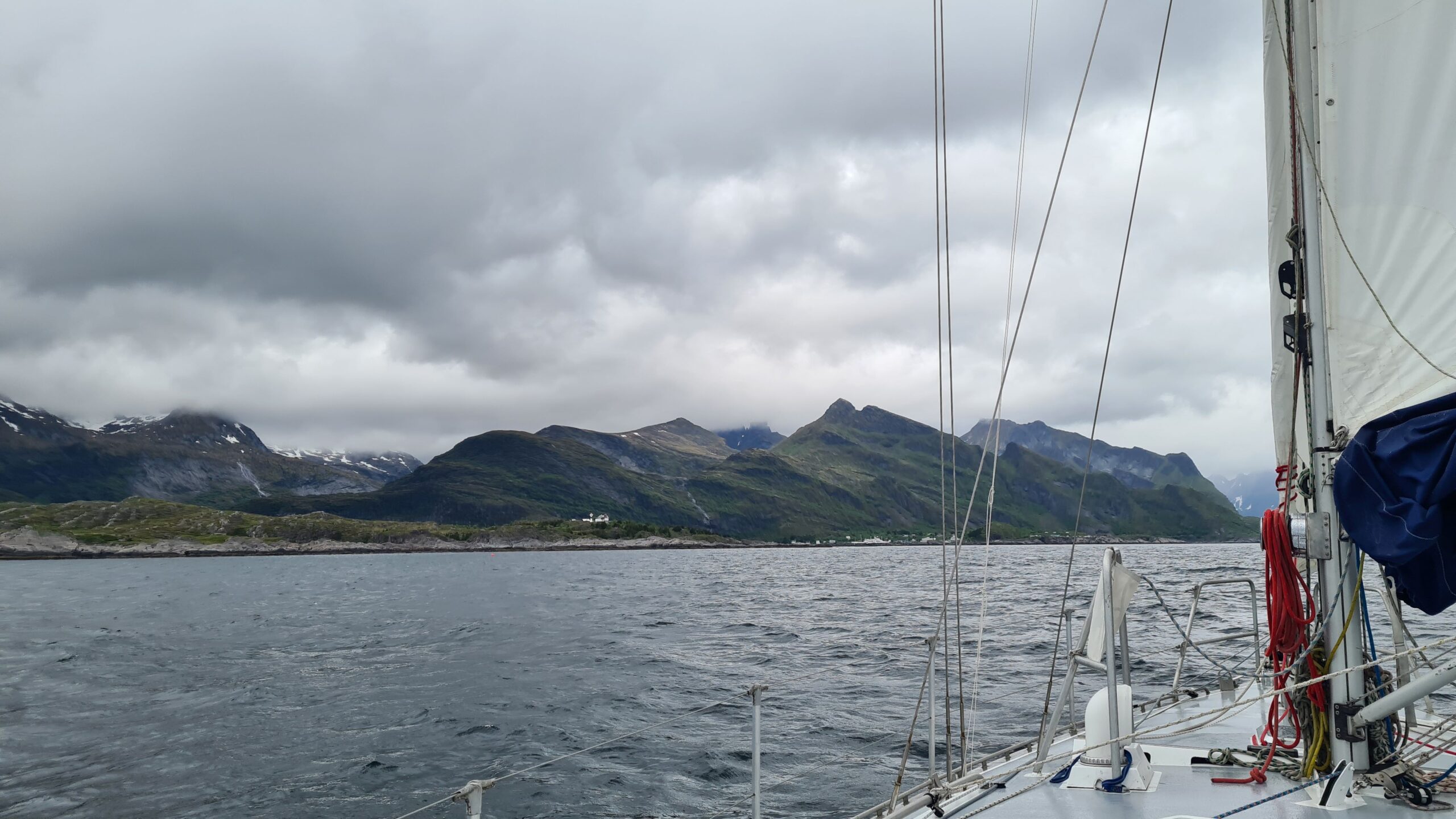
And we are now arriving to Moskenesøy
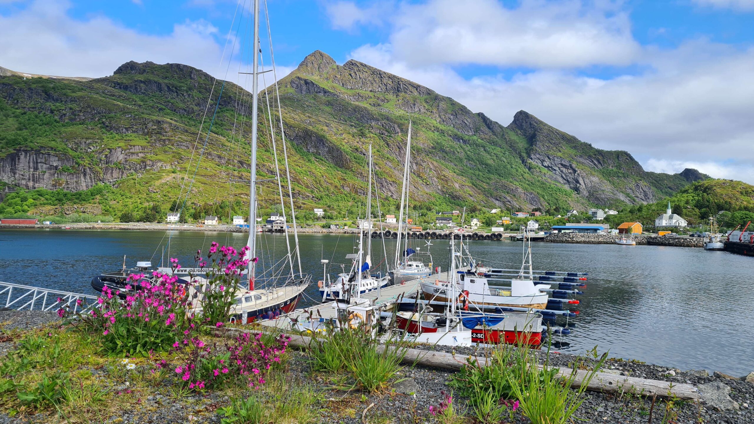
Nava and UtPåTur in Moskenes (pic taken the next day…)
To the left, the pretty bay of Sørvågen, where we could have stopped like most visiting yachts. But we have an appointment to keep! Do you remember Nava? Young Gustave on his JPB 32, whom we met in Lorient and then at Aber-Ildut? Dreaming of going skiing from his boat, he covered the distance to Tromsø in less than a month and found the Lyngen Alps still covered in snow. The ski season is now over and he’s stopping in Lofoten to pick up friends before heading to his next goal: Iceland. Because he told us about the free pontoon at Moskenes, we moor there, right on time before the strongest rain. Perfect weather for a friendly get-together by the stove in Nava’s saloon.
Moskenes may not be very well equipped for pleasure boating but it is very well located. Plus we are very mobile with our folding bikes, definitely a highlight of this winter’s preparation! (almost as essential as the curtains in the cabin, by the way…). Our first destination is the village at the end of the Lofoten Islands: Å (fitting name as it happens to be the last letter in the Norwegian alphabet, “from A to Å”). We have already been here as tourists, in June 2020 to be precise. In these times of pandemic everything was closed and we are looking forward to visiting the fishing museum this time.
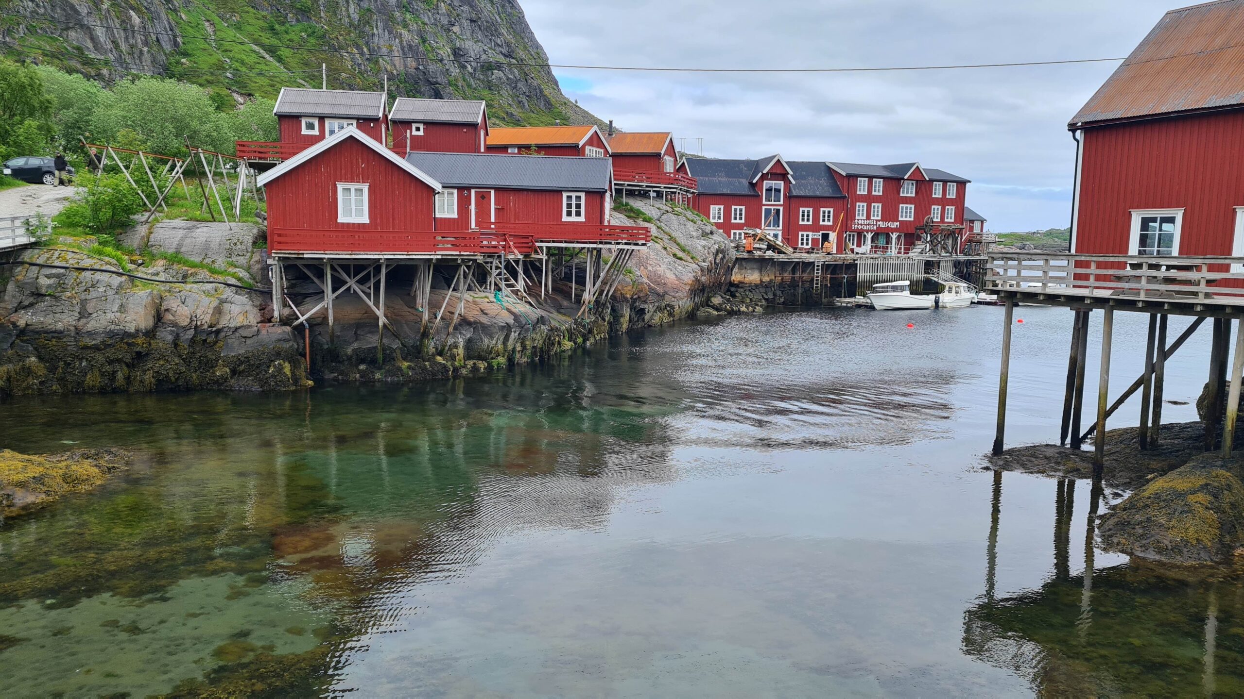
Typical rorbuer in the museum village of Å
Cod, especially dried cod, but also its derivatives such as the famous cod liver oil, have long been the main source of wealth for all of Norway. This does not mean that the Lofoten fishermen were rolling in gold though. As everywhere and throughout history, an entire society was organized around the resource, with its hierarchy and rules. In winter, farmers from all over the country left their farms to go fishing in the cold waters of the Vestfjord. Those who could afford it would rent the shelter of a hut on stilts (the rorbuer), while the poorest simply slept under the hull of their overturned boat. The fish were then sold to a local wholesaler who would dry them (often the local landowner, who was also the one who rented them the rorbuer and gave them credit for the purchase of equipment…). Once the fish was dried and the oil extracted, the merchants took over to sell the finished products abroad, particularly to Italy, the leading consumer of dried cod. For centuries, there were conflicts over fishing techniques (lines, trolling, seine nets, etc.), quotas by village and purchase prices from the fishermen. Today, these points are much more regulated, as explained on the museum’s panels which are translated into English. In one corner however, other panels are only in Norwegian: they proudly describe the history and current facts of whaling, still active in this region, with a seasonality perfectly complementing cod fishing. We can even read the names of the two boats still active in Moskenes…
All this is very interesting but quite touristy, and we’re not used to seeing so many people anymore. Once we’ve had enough information, we quickly leave “Cod-Land” to climb the next mountain!
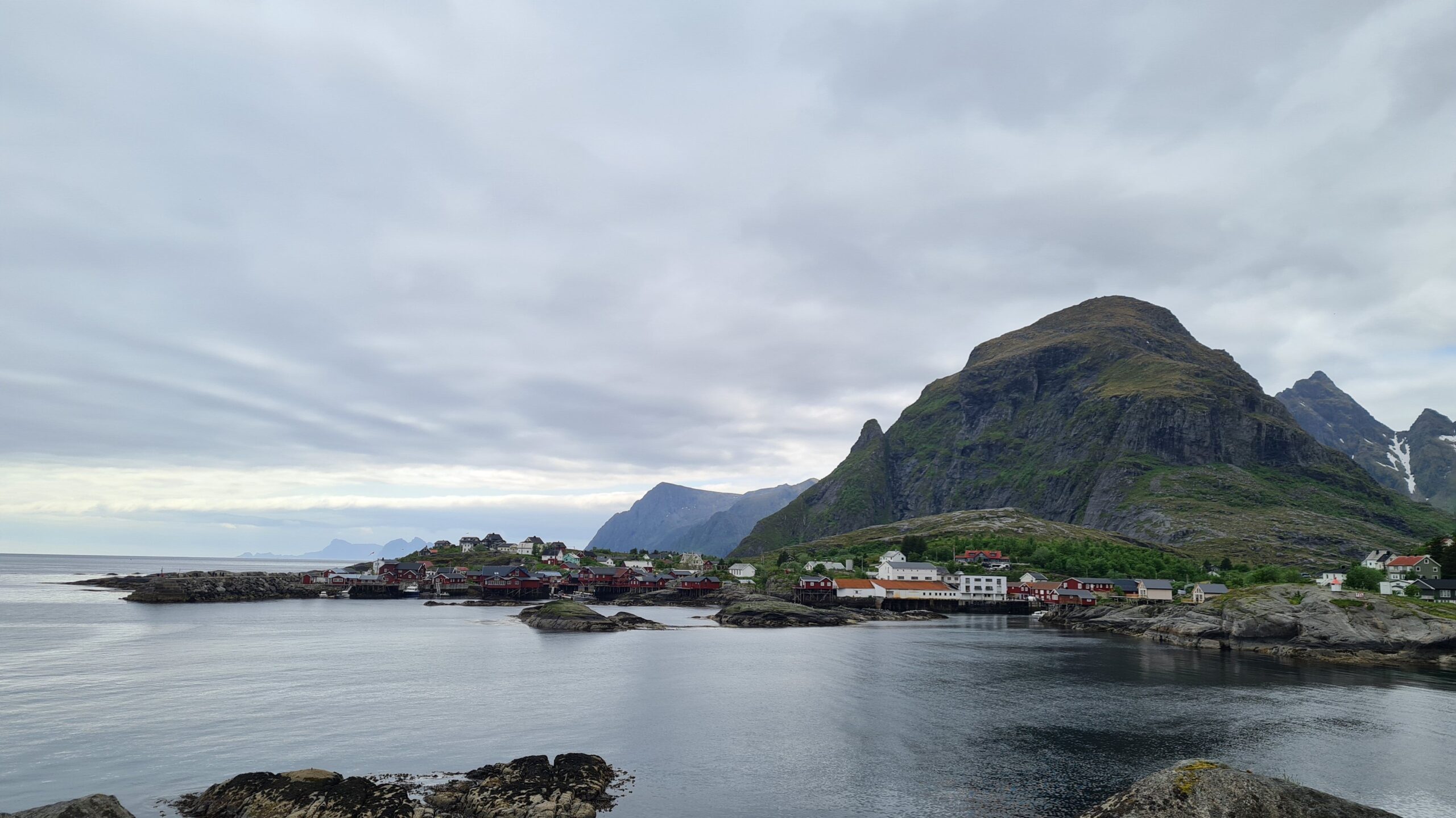
S-Å long Å!
The weather is starting to clear up and the higher we climb, the more spectacular the views become. It’s steep, though, and we sometimes have to pull ourselves up using the chains and ropes provided to climb further! The view from the summit, now in a very bright sun, was worth the climb. To the south, the mountain ridge extends to the tip of the island, then re-emerges at the island of Værøy. To the north, the Lofoten Islands continue until they reach the mainland about fifty miles further. Between the two: the Vestfjord. Just below us, UtPåTur on her pontoon. In short, a beautiful view!
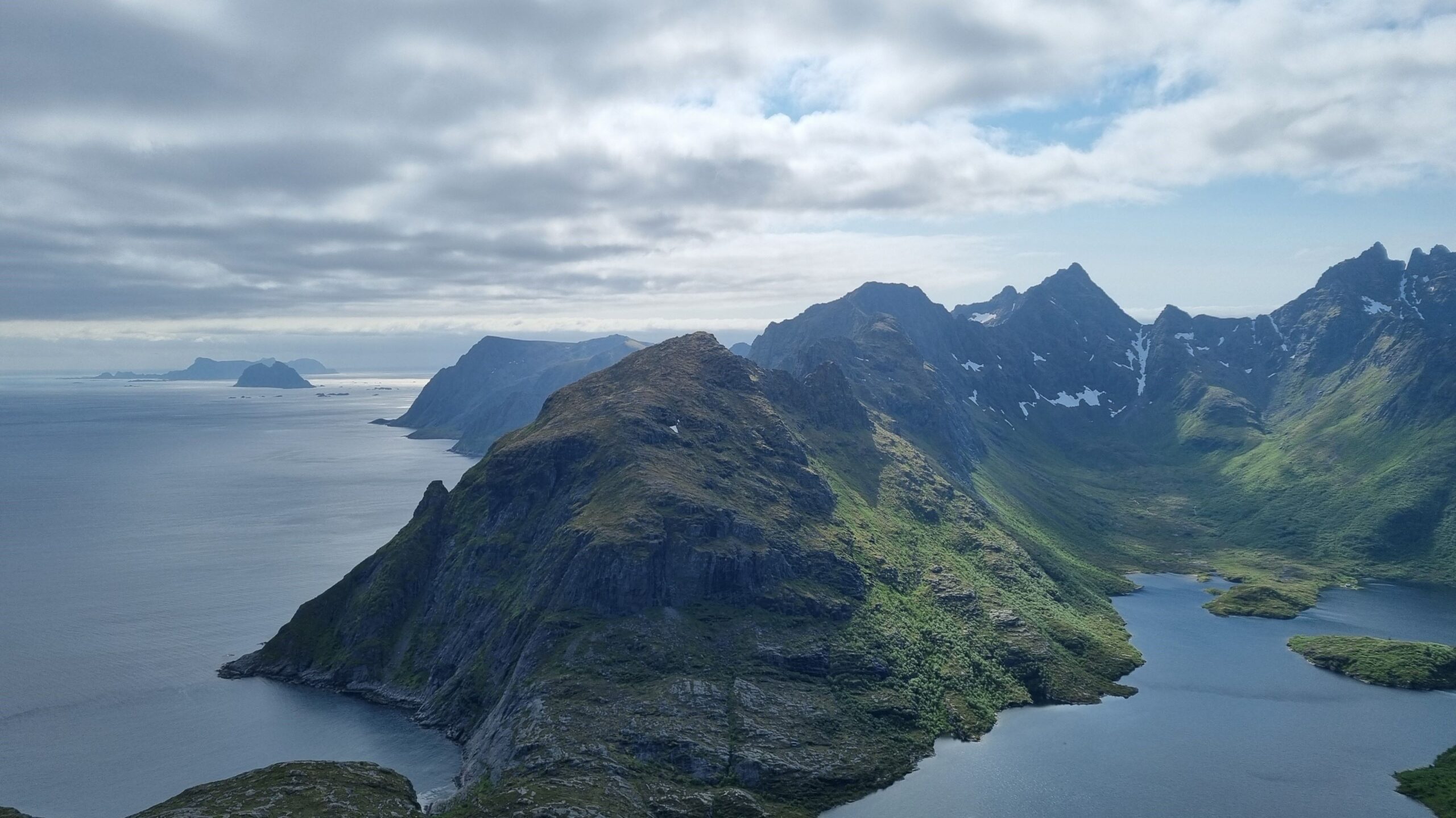
Towards the South and the islands of Mosken and Værøy
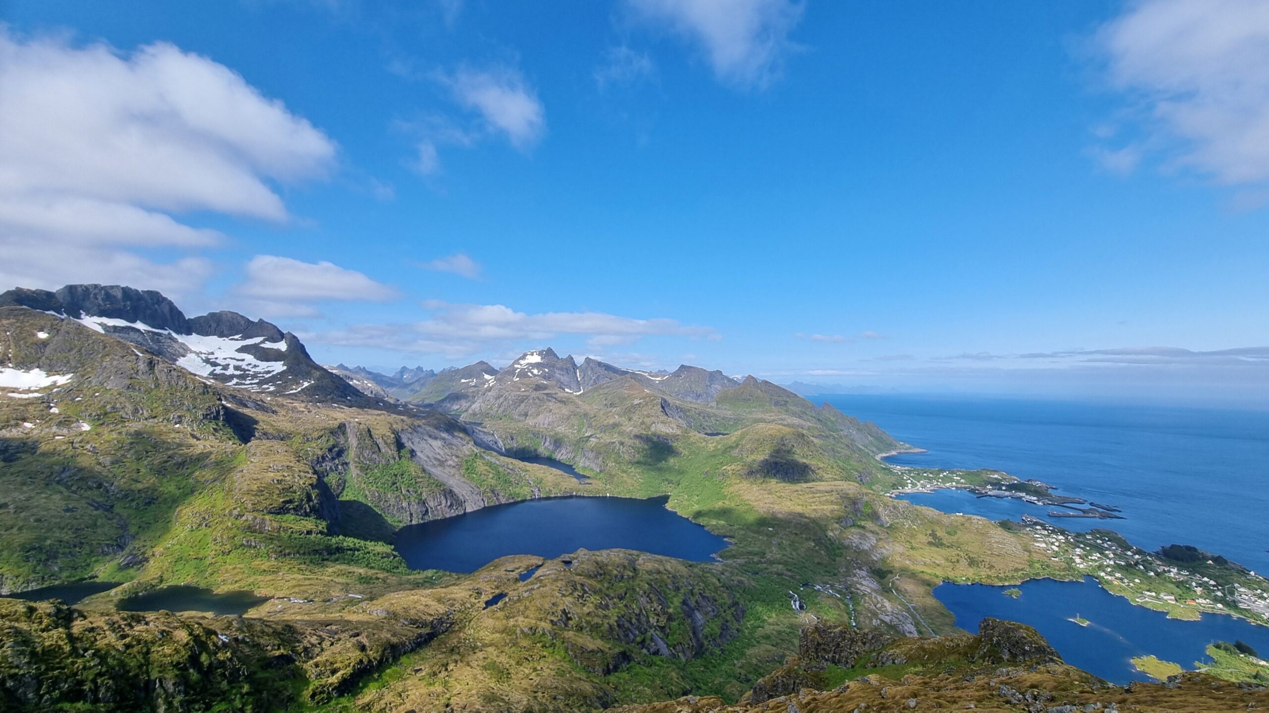
Northwards, can you spot the boat right downhill?
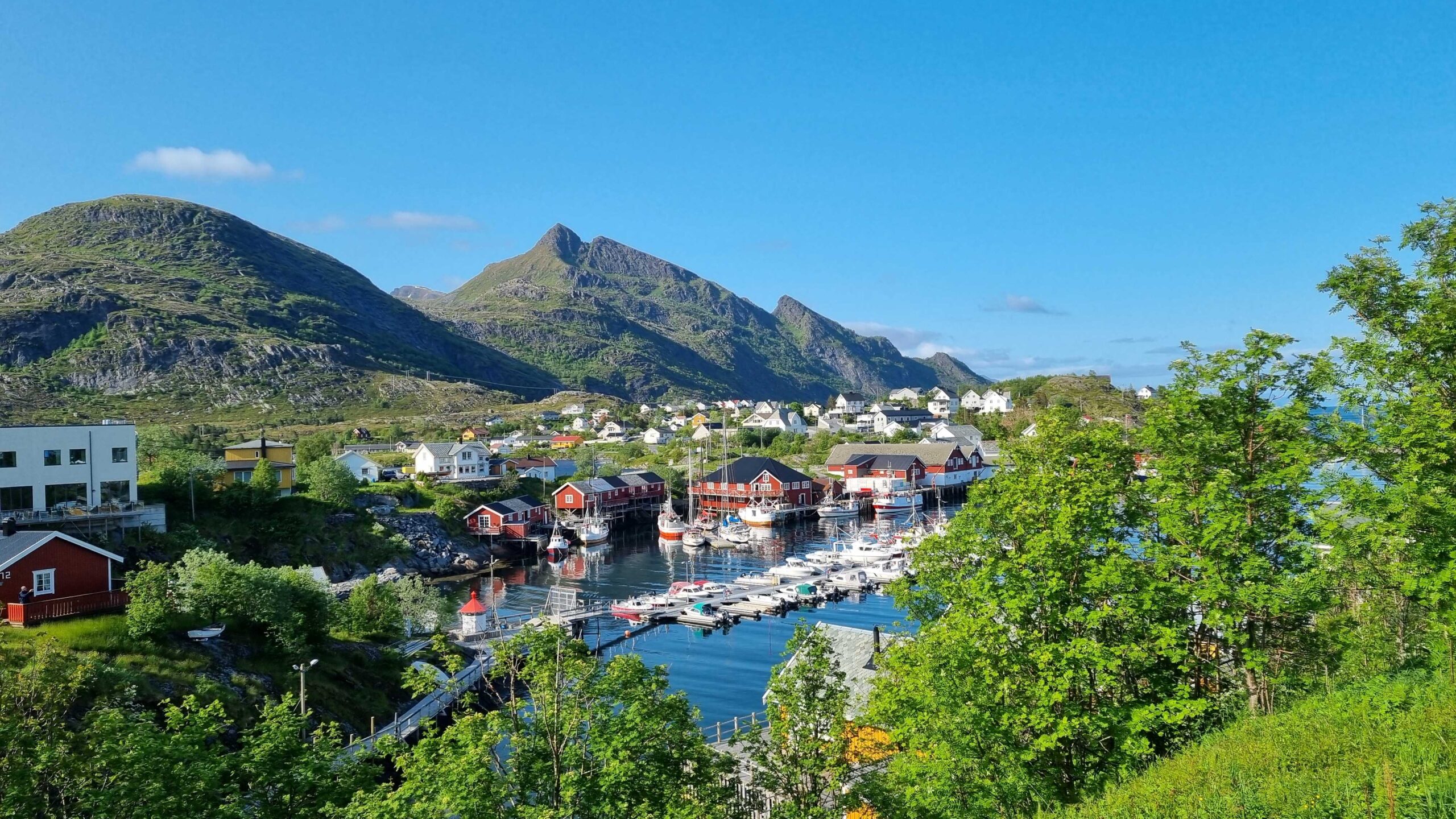
Sørvågen
Before going back we take a little trip to the coast to pick up our dinner (periwinkles), life is good!
June 20 – 21: Moskenes – Ballstad (26NM)
A calm day today, with no wind or rain. It’s cold, however, 5-6 degrees in the morning… We leave Moskenes to motor-sail a little further into the archipelago. We pass by Reine without stopping: the cruise ship anchored in front of it invites us to visit less popular anchorages. Besides, we’ve already visited the islands’ main “attractions”.
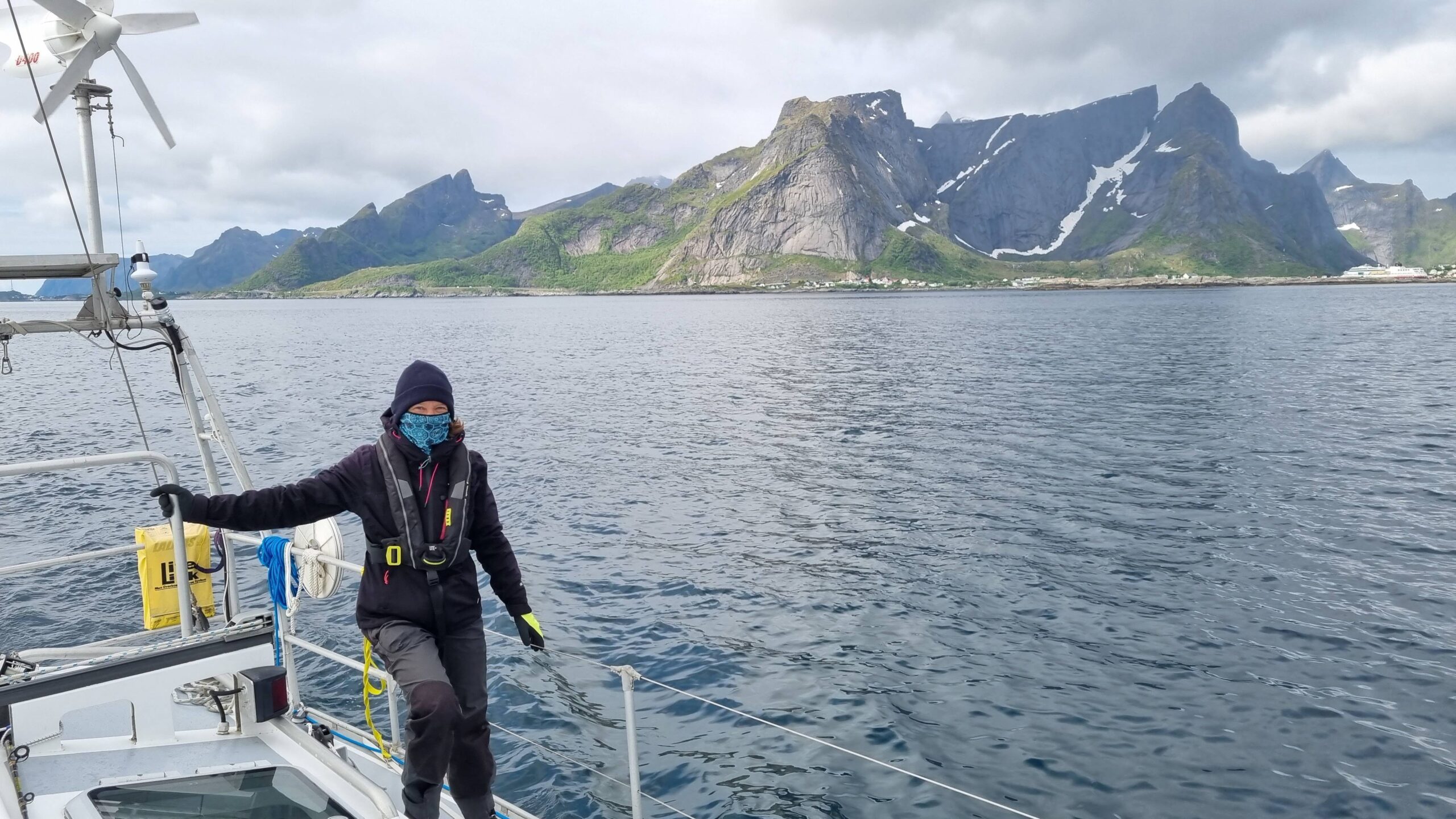
A heatwave? What heatwave?
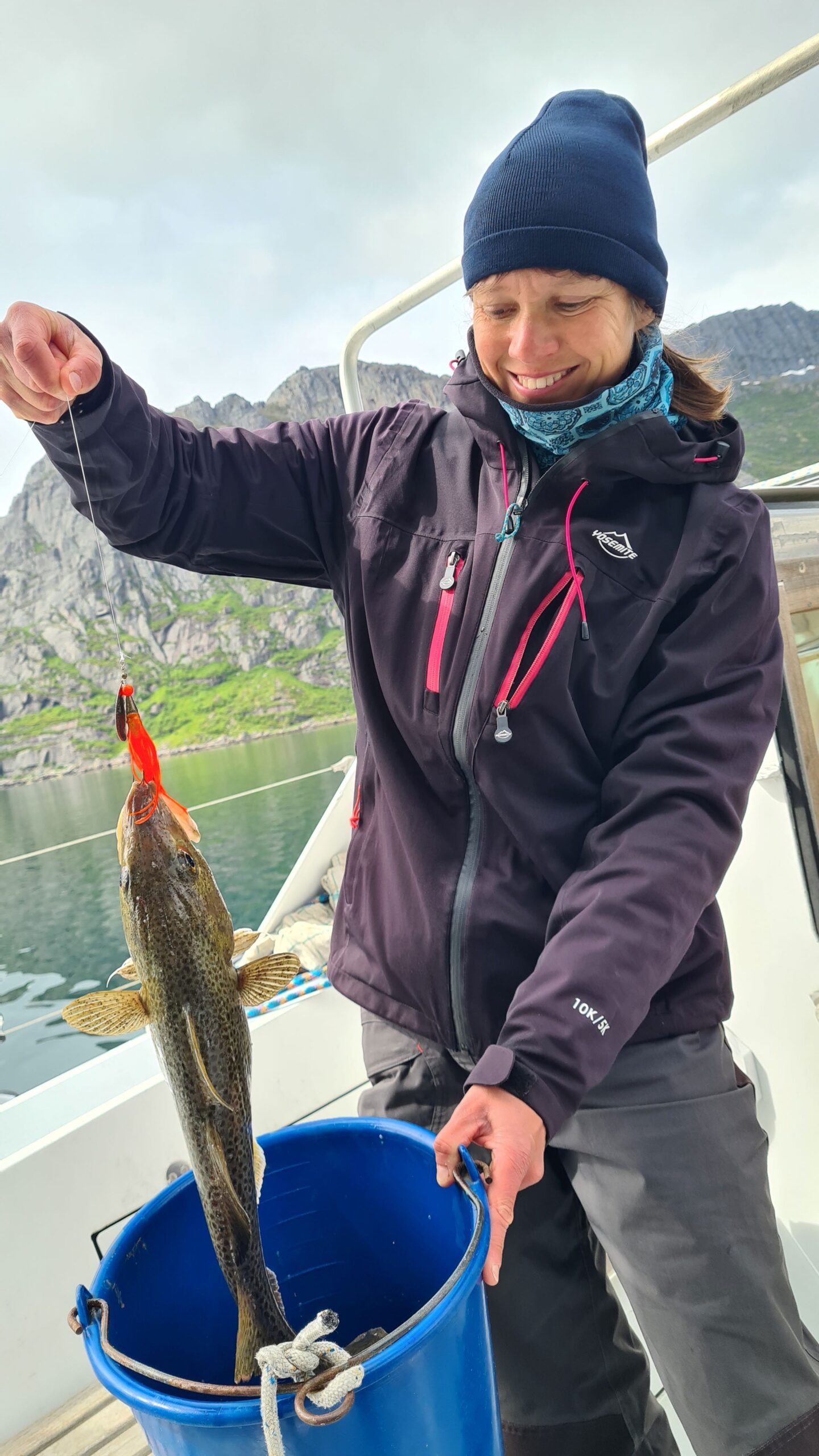
At last a fish! We had to sail quite a bit to finally get one…
So, we’re heading for Skjelfjord, where we hope to be able to fish from the boat. Aside from seashells picking, we’ve had no luck since leaving Brittany and they say that in Lofoten you only have to drop a line in the water to catch cod. So we try and sure enough, Laure barely has time to sink her lure before she gets a bite, but the fish unfortunately breaks free. It’s only a matter of time, a few minutes later, Camille reels in the first fish! A beautiful cod, well over forty centimeters long! In the end, it was perhaps the only one in the area because we didn’t catch anything else…
No matter, dinner is assured and we can resume our journey towards the Straumøya anchorage chosen for the night: a pretty sheltered bay, between the vertical rock and a small island, magnificent… The high mountains to the north even ensure a semblance of darkness tonight; well, we’re in the shade, that’s something!
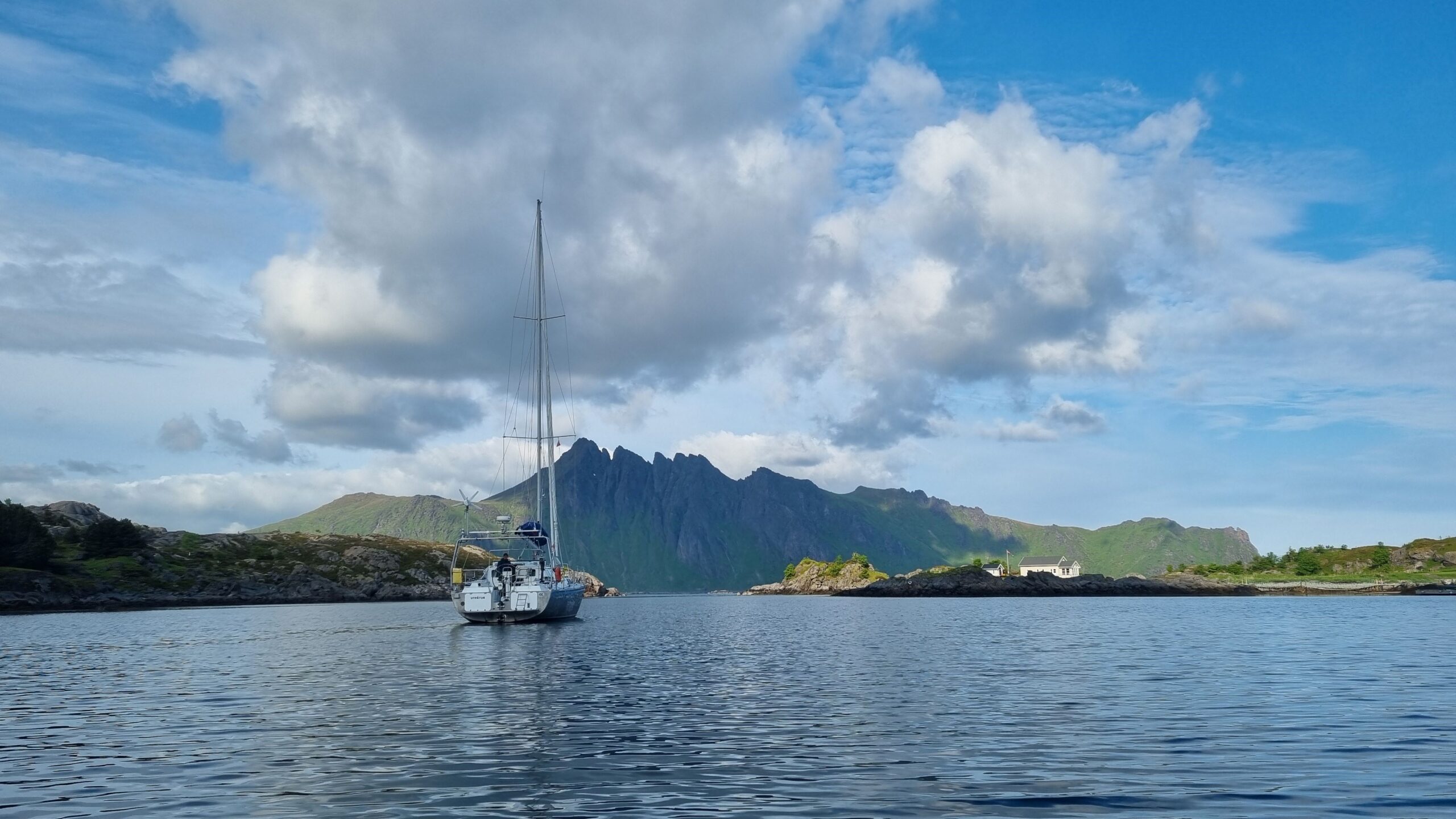
Straumøya, a beautiful anchorage!
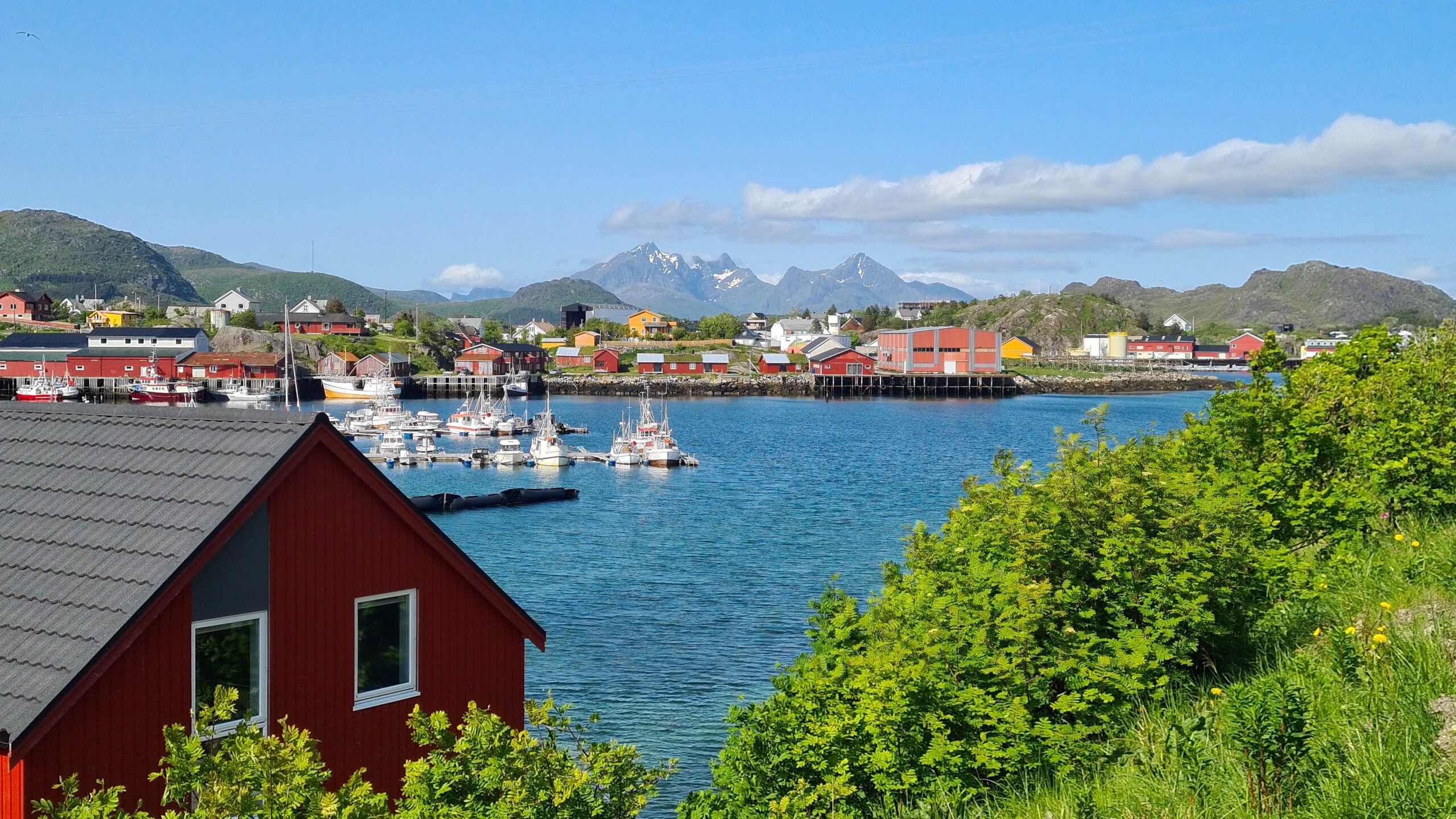
Ballstad, just a random village in Lofoten
But high mountains to the north mean the risk of strong katabatic gusts when the wind shifts that way tomorrow… We set off at 4 a.m. in a beautiful sun for a quick sail between the rocks to reach Ballstad, a small fishing village on the island of Vestvågøy. The entrance is superb, between the multicoloured trawlers, the typical red houses, the tall green mountains around us, and the snow-capped peaks on the horizon… Then, once again, we’re the only sailboat in the harbour and there seem to be only Norwegian campervans visting for the weekend—perfect!
Before heading out for a hike we treat ourselves to a few extra hours of sleep. After all, what’s the difference between sleeping in the evening or in the morning when it’s never dark? Once rested, we explore the beautiful surrounding mountains. We feel almost hot climbing in the sun, sheltered from the wind! And what view! Mountains as far as the eye can see, more or less covered by snow, dropping into the turquoise sea, it’s simply magical. Plus, the trail is easy and well-marked – one of our most beautiful hikes!
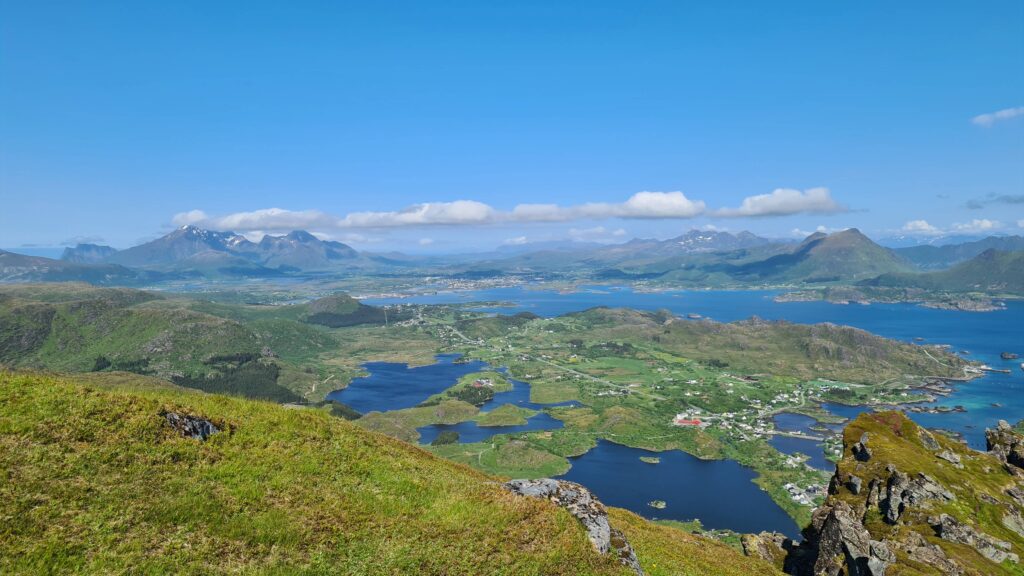
Towards the North and the island of Vestvågøy
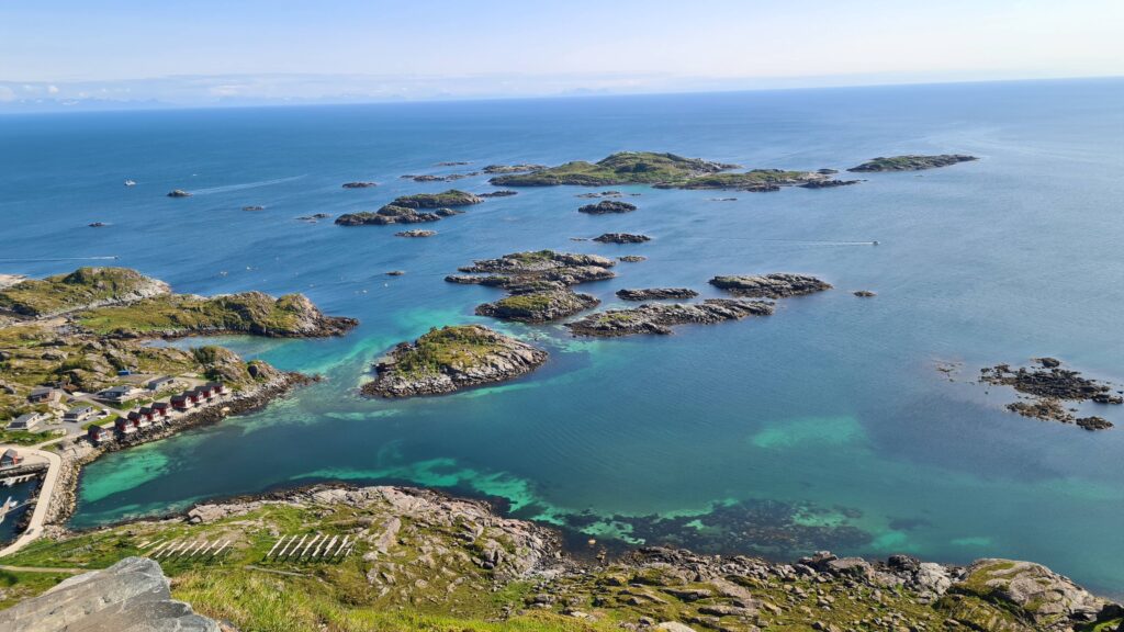
Towards the South and the skjærgård
Back on the boat for a drink in the sun around 9 p.m.—it’s been a nice day! But nothing being ever perfect, our anemometer is full of water again after the rains of the last few days and this time there’s nothing we can do to resuscitate it… While we still have the wind direction, we now need to estimate its strength… as we’ve been doing for the past 17 years on Saltimbanque! At least until we receive the replacement part in Bodø…
June 22-23: Ballstad – Skrova (36NM)
Now that we’ve arrived in Lofoten, the main goal of our trip this year, it’s time to ask ourselves what we came here for… In no particular order: beautiful mountains falling into the sea (spotted), great hikes with beautiful viewpoints (done), secluded anchorages (good), fishing (check), white sand beaches with turquoise water… Ah, we’re still missing that one! We’ll have to sail a little further north to try to find the polar tropical paradise of our dreams…
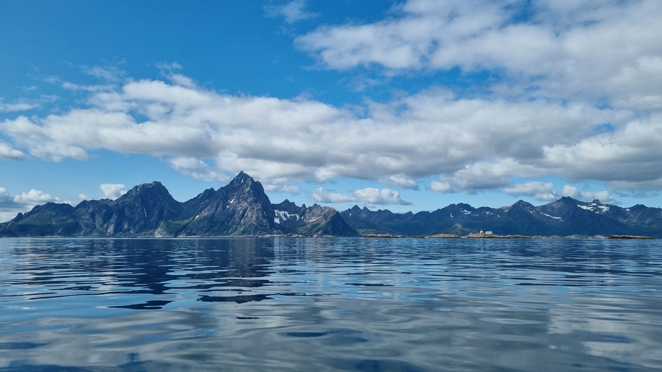
Sailing by Henningsvær, one more tourist place that we decide to skip!
The weather is still beautiful today and the temperatures are on their way up. It must be the total lack of wind… Our wonderful Musclor is getting busy to take us further along the Lofoten arc. About thirty miles, or barely five hours to UtPåTur… It would have taken us twice as long with Saltimbanque…
For once all that energy won’t be spent solely on moving us. We’ve been thinking about it for so long, but haven’t dared to start: this time we’re turning on the watermaker while the batteries are powered by the engine. We’re a little nervous about all the new problems we’re going to create for ourselves… surprisingly, everything’s going pretty well. The pumps are working, the pipes are running, we have a small water leak on a fitting that we manage to tighten, it seems to be working… The watermaker is full of glycol, “pickled” to preserve it when it’s not in use. We have to flush water for hours to rinse off all the chemicals before we can start producing water. Despite everything, the fresh water we end up with still has a very strong plastic taste, and we’re using it for dish washing only for now. It will take several more hours of rinsing before it can be made into drinkable water, but at least it is not salty and nothing is leaking catastrophically, so we take the win!
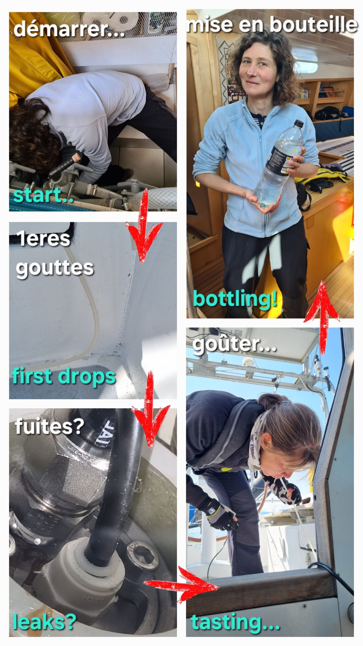
Making water is a whole process!
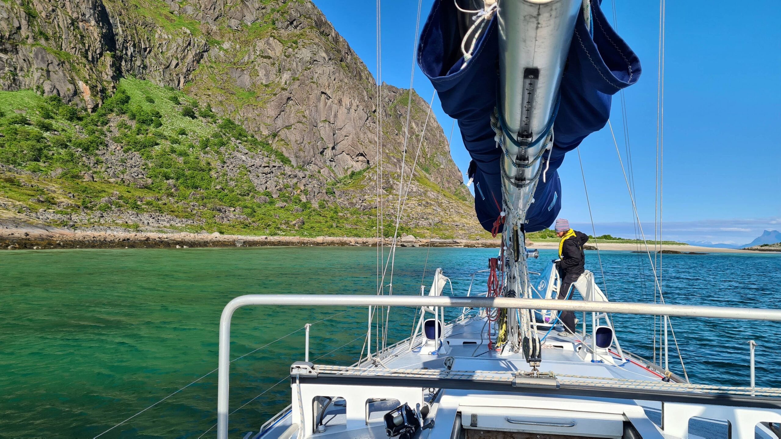
Laure is preparing the anchor, but we know we are not staying anyway…
While we were focusd on our freshwater production, UtPåTur and Musclor have been making headway and we’re coming into sight of Lille Molla where we hope to anchor. But the island is very high and very vertical so that we’re getting… that’s right, the usual katabatic gusts! Despite the calm weather there’s already nearly 20 knots (we estimate…) at the anchorage, which may become unbearable when the wind picks up tonight. It’s a shame, the water was quite turquoise, though…
Plan B: heading for the nearby island of Skrova which we reach in another half-hour of motoring between the rocks, with several eagles (numerous in the area) soaring overhead.
Formerly one of the largest fishing centres in Lofoten, Skrova is today a charming little island mainly populated by hytter, the Norwegians’ holiday homes. While there was a bit of activity when we arrived Sunday evening, everything was perfectly calm on Monday morning! And what weather… We set off for a walk in… shorts and T-shirts, yes! At 68 degrees North…
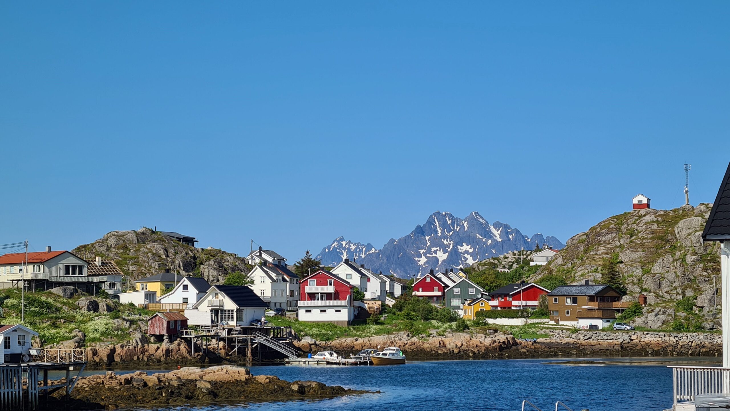
The village of Skrova, looks a bit like Greenland, doesn’t it?
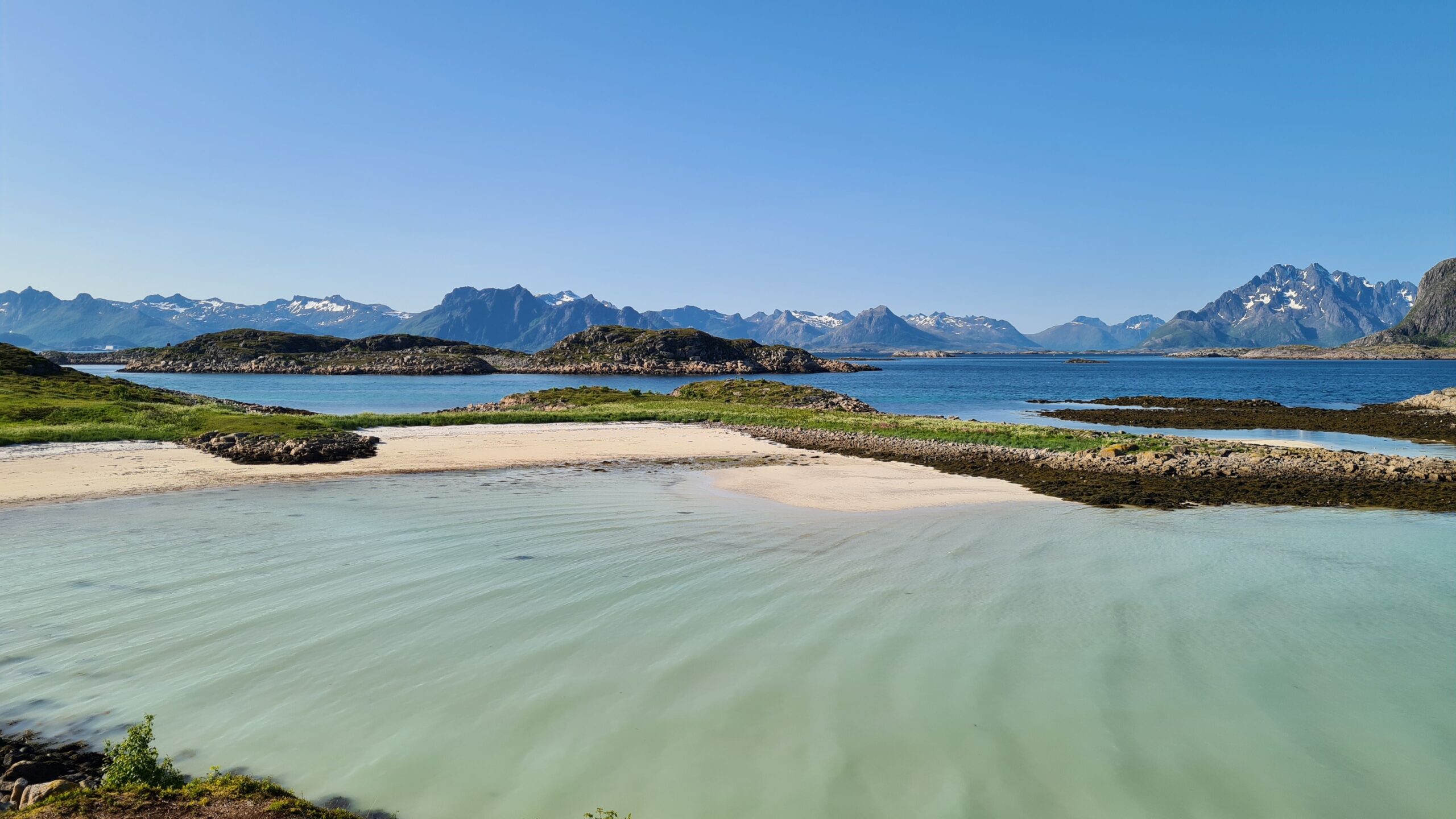
And actually we are at the same latitude as the North-West passage…
After a quick tour of the village, we take the hiking trail heading for the beautiful beaches in the northeast of the island. They appear around a bend and… there we are, white sand and turquoise water! Against a backdrop of snow-capped mountains… Magical!!!!
As we gather some periwinkles for dinner, Laure can’t wait and jumps into the water. Was that on the list, Arctic swimming? No, no, just a bonus! What a day again…
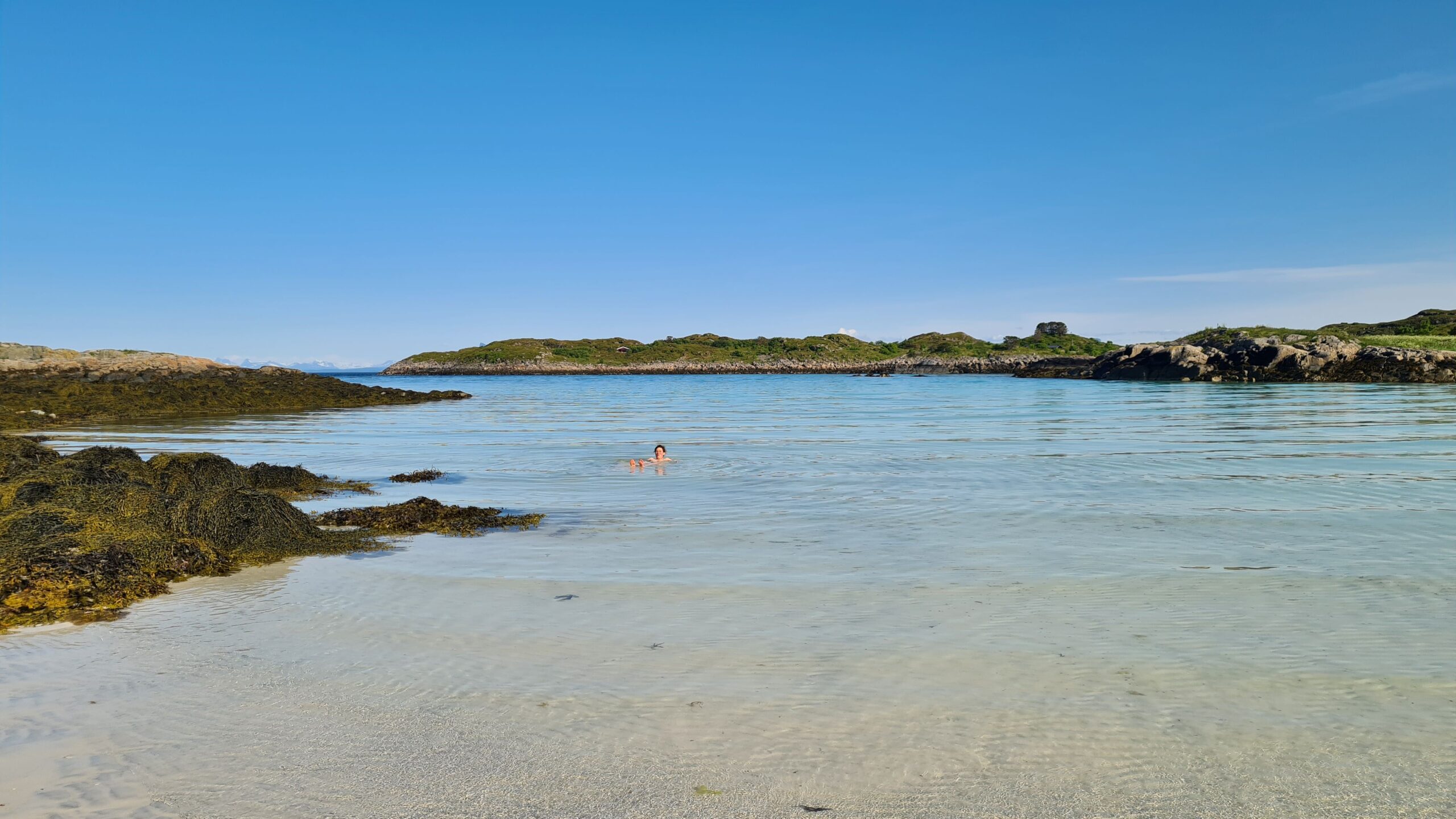
Swimming in the Arctic ocean –> done !
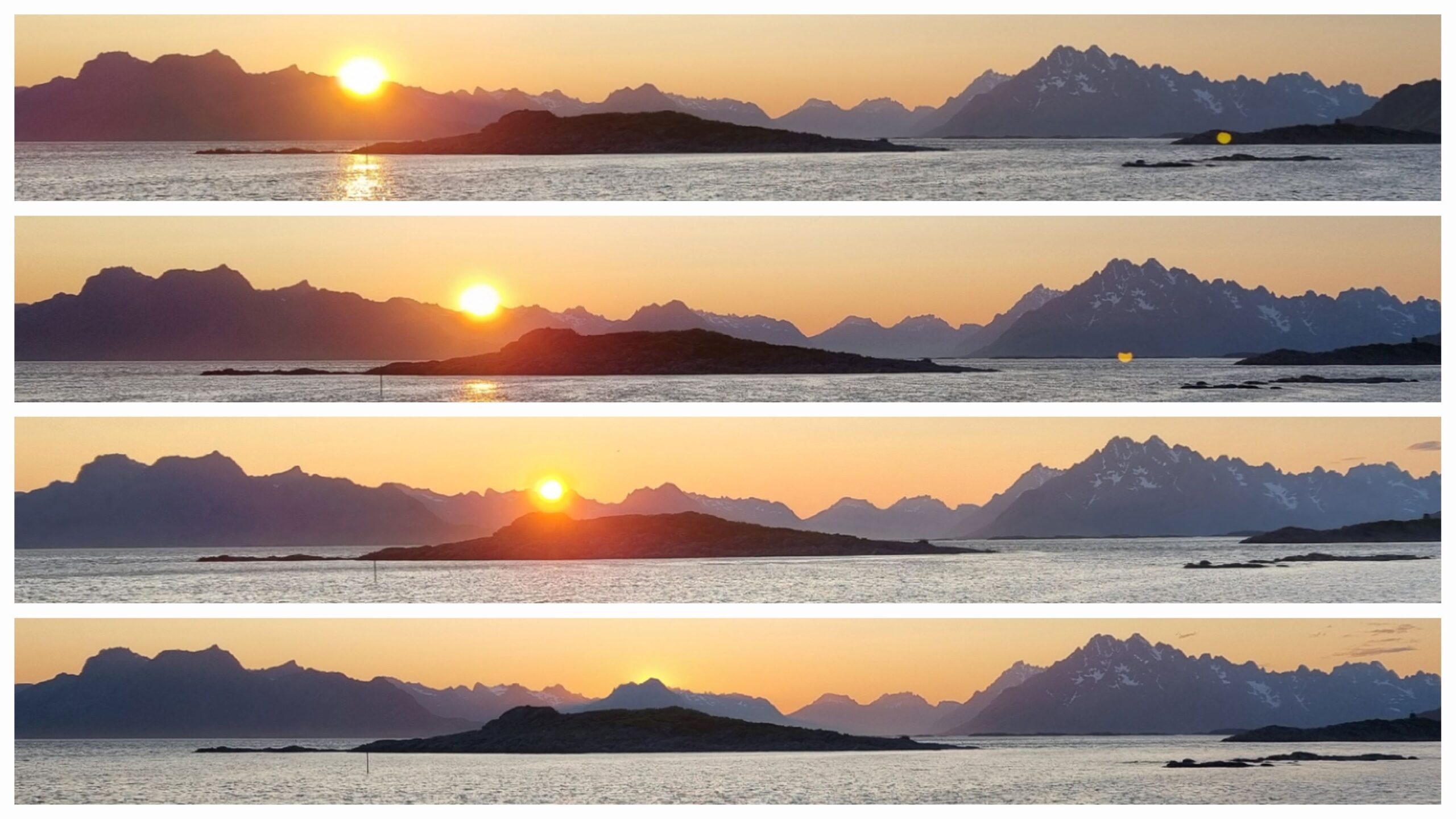
The sun slowly falling from midnight to 1 a.m.
In the evening, Laure, who’s finding it increasingly difficult to fall asleep in this constant light, heads to the North Shore to try to take some photos of the midnight sun. The mountains on the horizon are still too high, and the sun is just behind a peak at its lowest point at 1 a.m. It’s a good effort, though; Camille stayed under the covers, way fewer mosquitoes!
June 24-25: Skrova – Hestosen (42NM)
After a lazy morning to recover from the night’s photo shoot, we set off again in a very pleasant breeze which takes us nicely through the Vestfjord with views of the Lofoten mountains as well as those on the mainland across the water… which is getting closer…
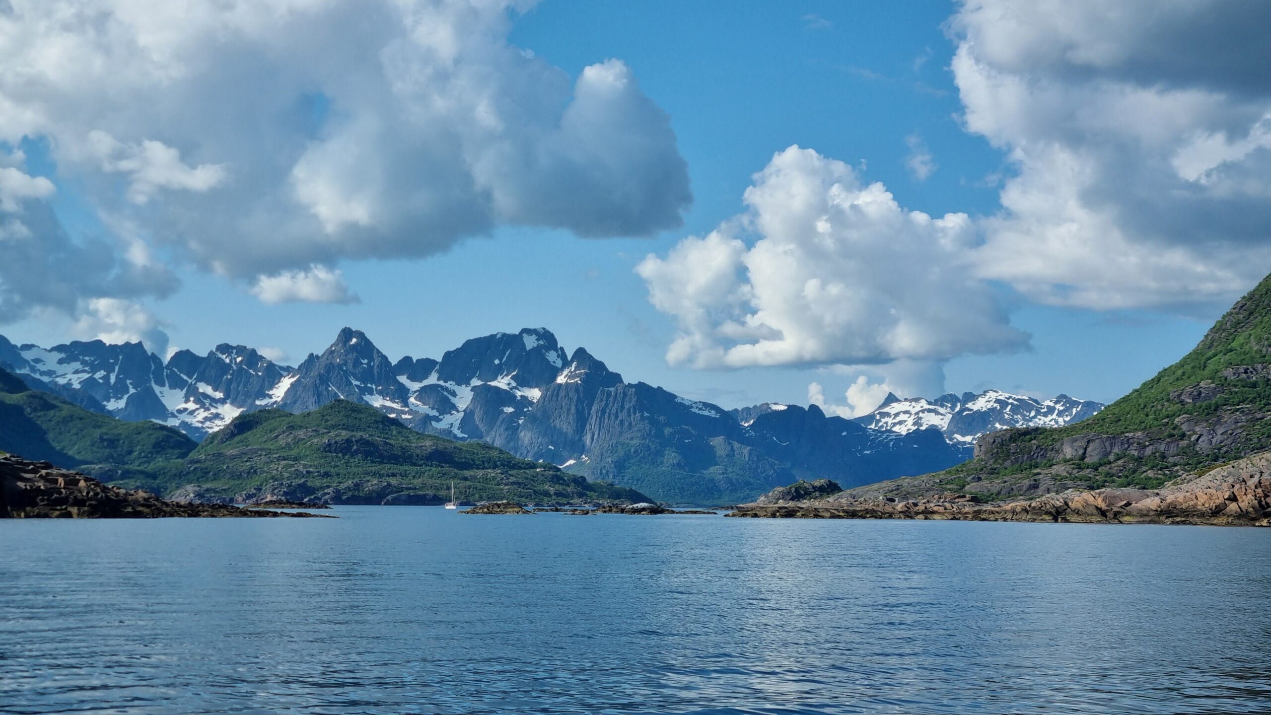
The mountains on Lofoten side…
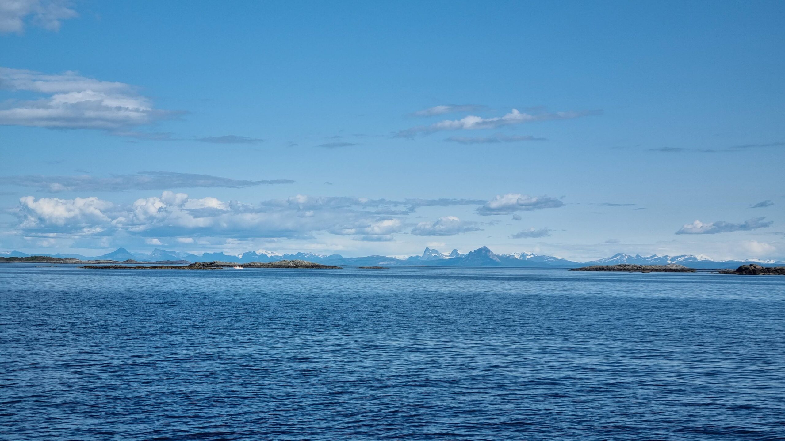
…and on mainland side! In between lies the Vestfjord.
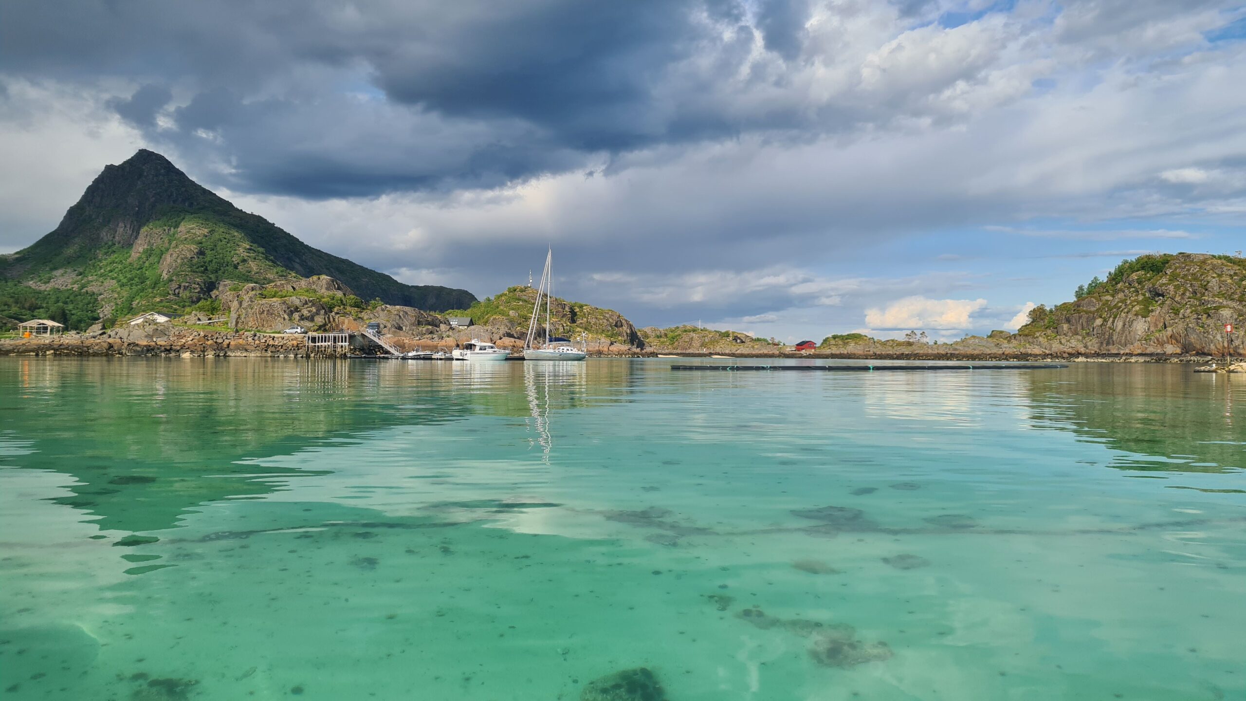
Polynesia? Nope, Northern Norway…
No ambitious sailing today, just about ten miles. We are aiming for a small pontoon literally planted on a lagoon of transparent water, a veritable Arctic swimming pool! The colour is surreal in the sun… which unfortunately disappears after a few minutes behind big black (and wet) clouds. End of the summer, but it had lasted three good days after all!
Well, now we’ve fulfilled our goal on turquoise water, but we’re a little short of fresh fish. So, despite the menacing clouds, we head out on the dinghy for a fishing trip. This gives us the opportunity to restart the outboard motor, which works perfectly with its new carburettor… let’s see for how long… Dinghy fishing is a team effort: Laure rows into the wind to keep the dinghy stationary relative to the bottom while Camille handles the fishing rod. First bite: a pollack! Mmmm, that’s good!!!! But it also means we’re not fishing deep enough for cod. There you go, all we need to do is unwind a little more line, and we bring the “gold of Lofoten” aboard.
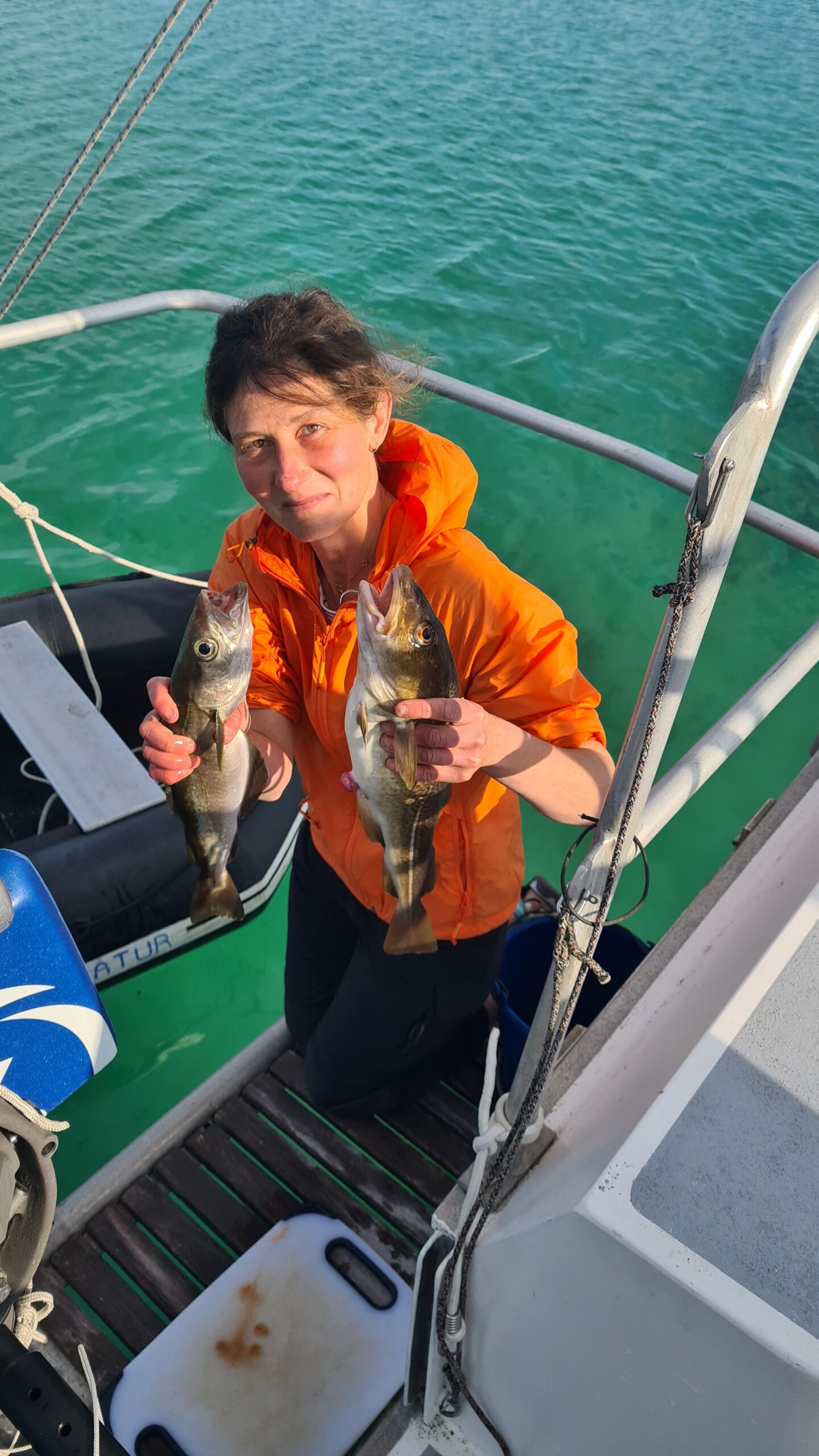
The swim platform is the perfect place to clean our catch !
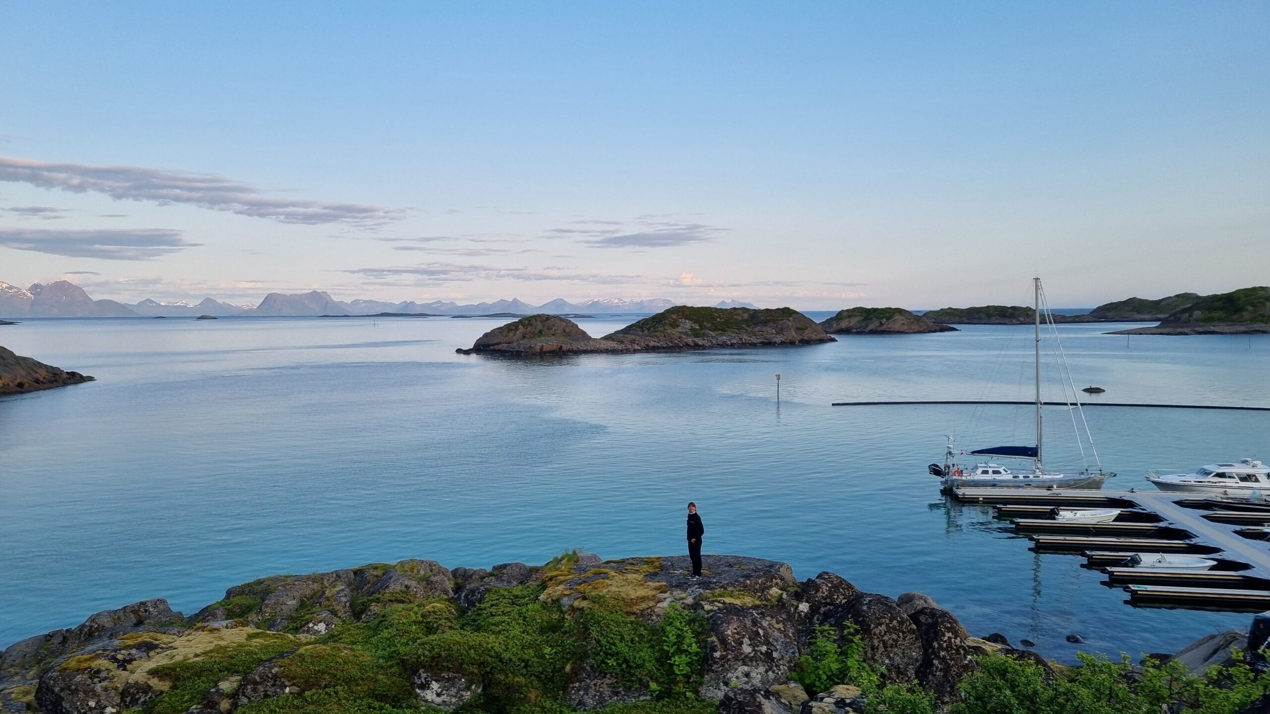
Evening walk, shortly before midnight
Our idyllic little pontoon turns into a violent wind tunnel at 2 a.m. when the wind veers to just the direction to be accelerated by the neighbouring fjord. The other visiting (motor)boat even decides to leave right away (convenient, it’s not dark). We simply double the mooring lines and go back to bed.
The departure manoeuvre the next morning at noon is all the easier; we’ve never turned around so quickly as when pushed off by this wind! Once clear, we unfurl the genoa to sail smoothly across and downwind between the low islands of the local Skjærgård. We’re aiming for a small pontoon on one of these islands. But as we have another look at the map, we have to face the facts: it’s very narrow, and with this steady gusts we don’t feel like going in between the rocks.
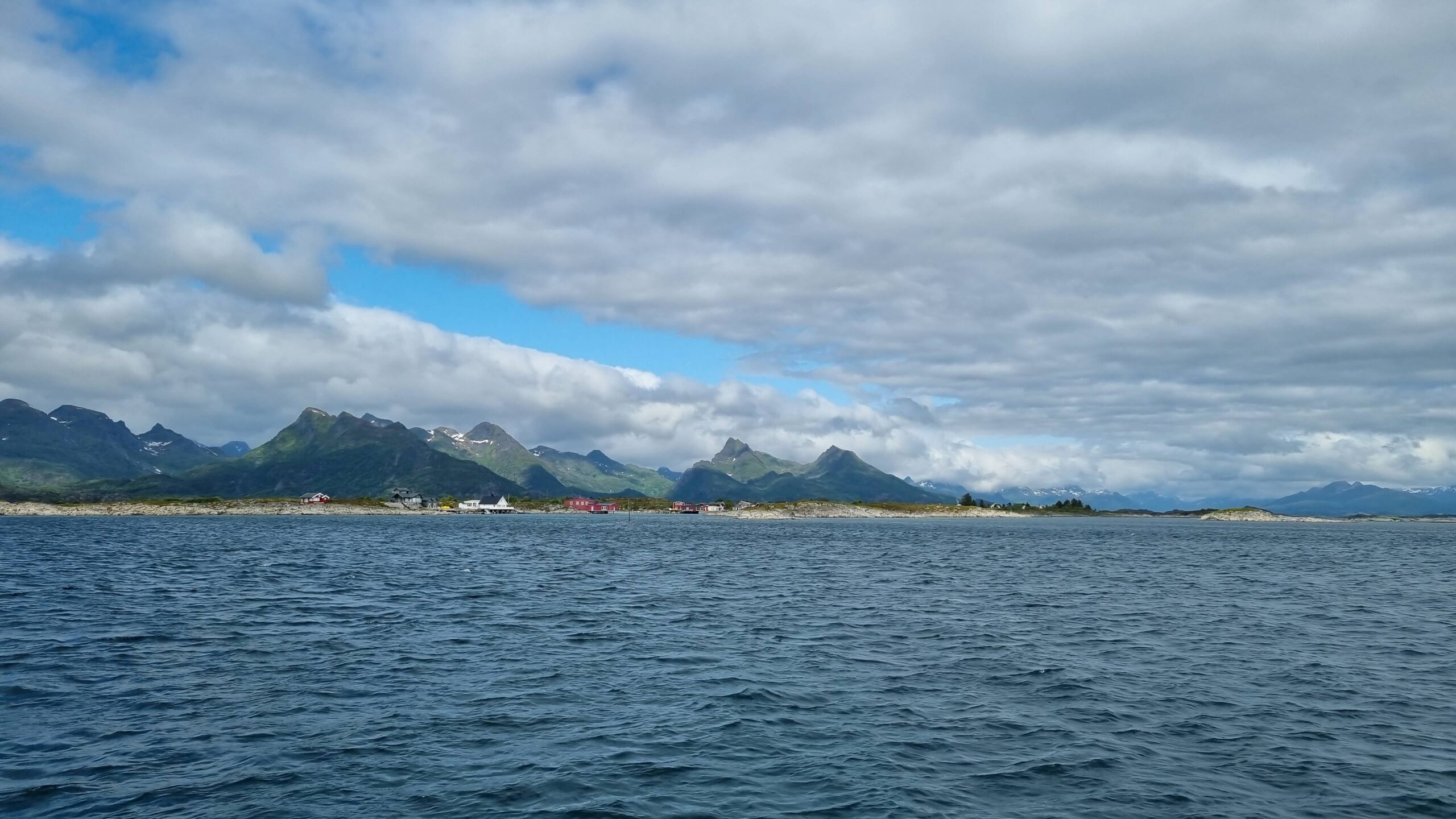
The islands are never far from the gust generating mountains
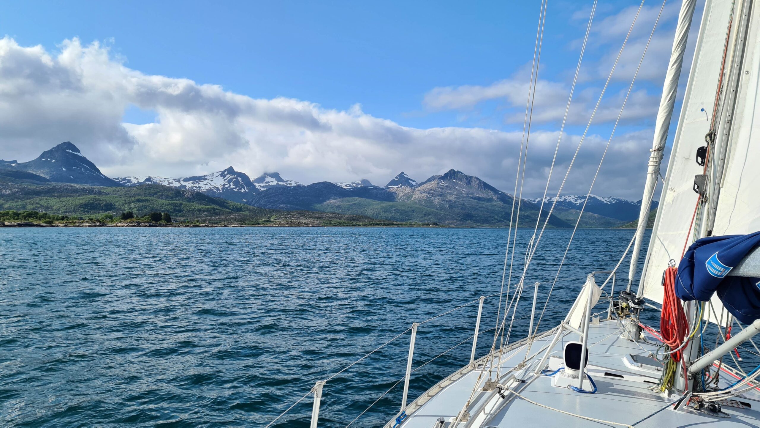
UtPåTur sailing towards the next anchorage
So, Plan B: we hoist the mainsail and set off again at over 6 knots between the islands. The sea is flat here, sheltered from the offshore swell and sailing is very pleasant. We hope to anchor in the lee of Offersøya even though the bay isn’t marked as an official anchorage on the chart. Everything looks good… until about a mile from the anchorage, where violent gusts come down from the mountains. That’s not going to do it either…
So, Plan C: there’s a more official anchorage a few miles north of here. This time, no surprises; the gusts are very manageable and we anchor in a perfectly round bay that looks more like a mountain lake than the sea. The silence is broken only by the mooing of cows!
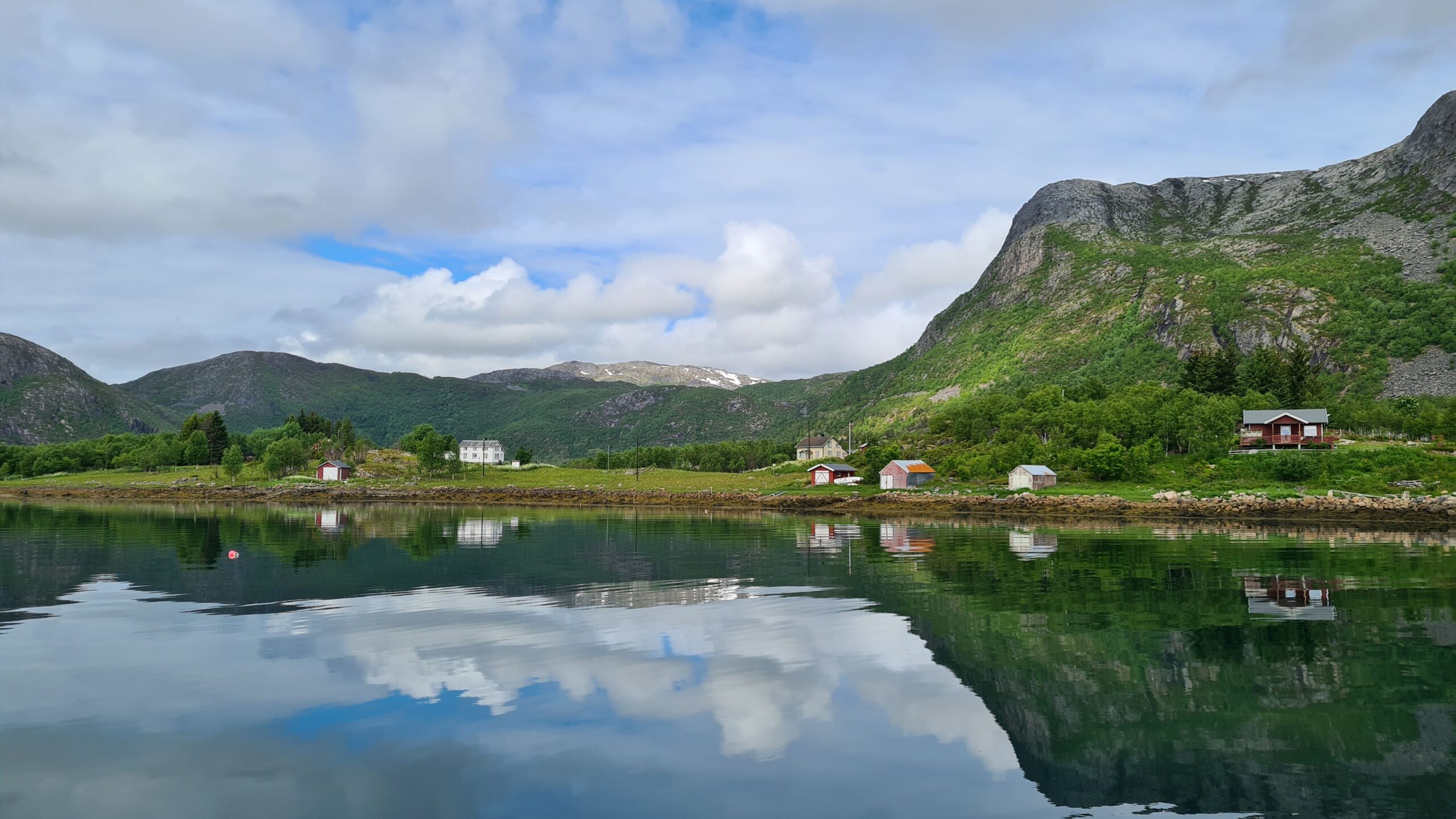
Hestosen, at last a sheltered anchorage!
68°22.6 North, that’s it, this will be our northernmost point. We’ve left Lofoten and are anchored on an island in Vesterålen, the next archipelago. It’s time to celebrate: barely 9:45 p.m., perfect timing for pre-dinner drinks!
June 26: Hestosen – Rotvær (6NM)
Today we’re turning back to take advantage of the northeast wind forecast for the end of the day to cover our first miles south since… since March 23rd! But first, we want to treat ourselves to a last little taste of Lofoten.
Not sure when we left the anchorage, but it was daylight… The wind is light, but enough to make four knots on a flat sea. That’s a good speed for trying trolling even though we’ve never caught anything using this technique so far… But this area is supposed to be full of fish, right? As soon as the line is down, the floater comes up! A mackerel? No, a saithe! And it’s huge!!! 63 cm long! There must be three meals worth of meat there… Laure puts the line back in the water to properly reel it in and while we’re debating whether we have enough fish or not, another 55 cm long saithe bites! This time we have enough protein for the week and we take care to untangle the line on board to avoid a third catch. So, miraculous fishing in Lofoten Islands is not a legend…
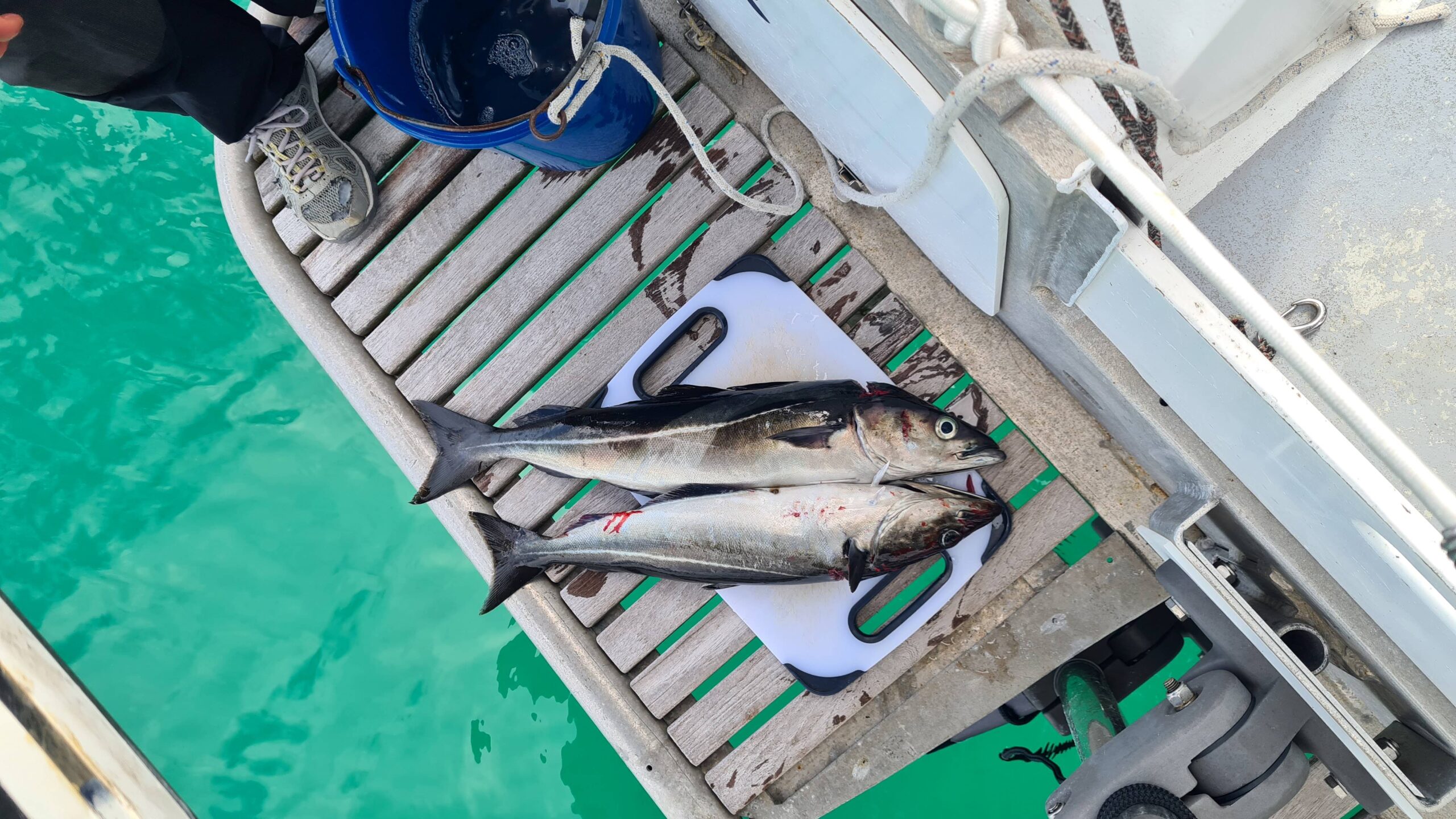
This is it, enough fish for a while now!
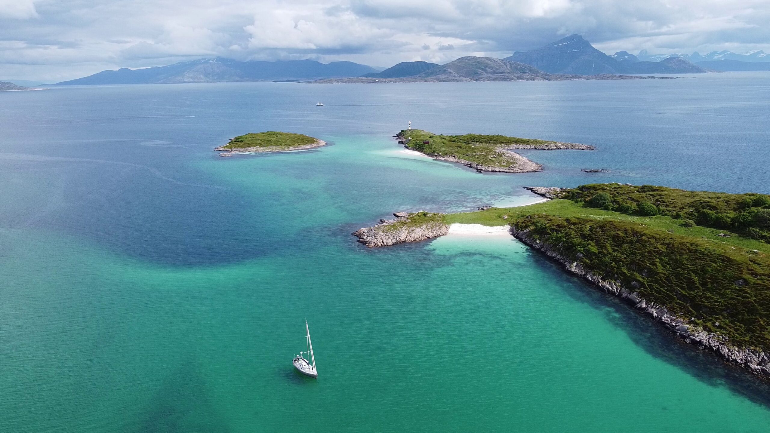
UtPåTur by 68°22 of latitude North…
After all this we’ve almost reached our lunchtime anchorage on the island of Rotvær. The setting is magnificent, albeit very classic: turquoise water, white sand and snow-capped mountains on the horizon, but we’re not tired of it… As the sun appears, Laure takes a quick swim off the boat, a good effort because the water is much deeper and therefore colder than on a beach. But the sea is so beautiful and who can claim to have swum at latitude 68°22?
One last look at the snow-capped mountains of Lofoten, the transparent blue water and the wind direction, which is slowly but surely turning north… It’s time to start on our long way back to the south… but that’s another story!
Rotvær, the place where we U-turn…
 PDF
You know, if you ever get tired of these incredible adventures, you’ll make amazing professional scenic photographers/movie makers/narrators: every instalment more breathtaking than the last – bravo 👏