
The full photo album here.
June 26-27: Rotvær – Skutvik (32NM)
And now we’re heading back to Brittany. After relentlessly sailing north for three months with the single mind to reach our goal (the Lofoten Islands), it’s time to point our bow south again. Even though we still have many months of sailing and discovery ahead of us, we’re a little sad because every mile we sail will bring us closer to more familiar and less exotic lands.
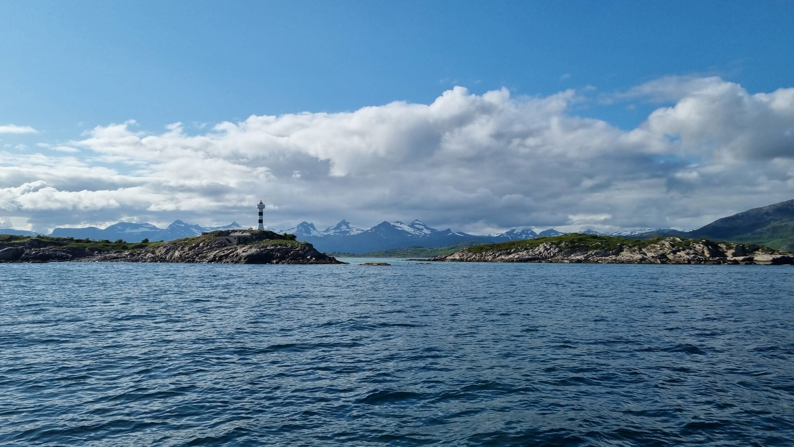
One last glimpse of Lofoten, and we head South…
The last few hours in Lofoten were a true highlight of our experience in these waters and the season is moving inexorably forward (one day soon the sun will even set again, yes it will…). The wind, turning northeast this evening, is sending us the final sign we needed: it’s time to turn back.
To boost our morale, we hoist the spinnaker immediately! This time it fills perfectly and with a certain style we begin crossing the Vestfjord propelled by our blue and purple bubble, followed (and then overtaken, we must admit) by a Viking longship! A few minutes later a family of pilot whales is heading upwind with aggressive little jumps. It’s been a long time since we’ve seen a sea-mammal: no dolphins since Scotland and just a few orcas spotted from afar in Lofoten (we didn’t want them to get any closer either…).
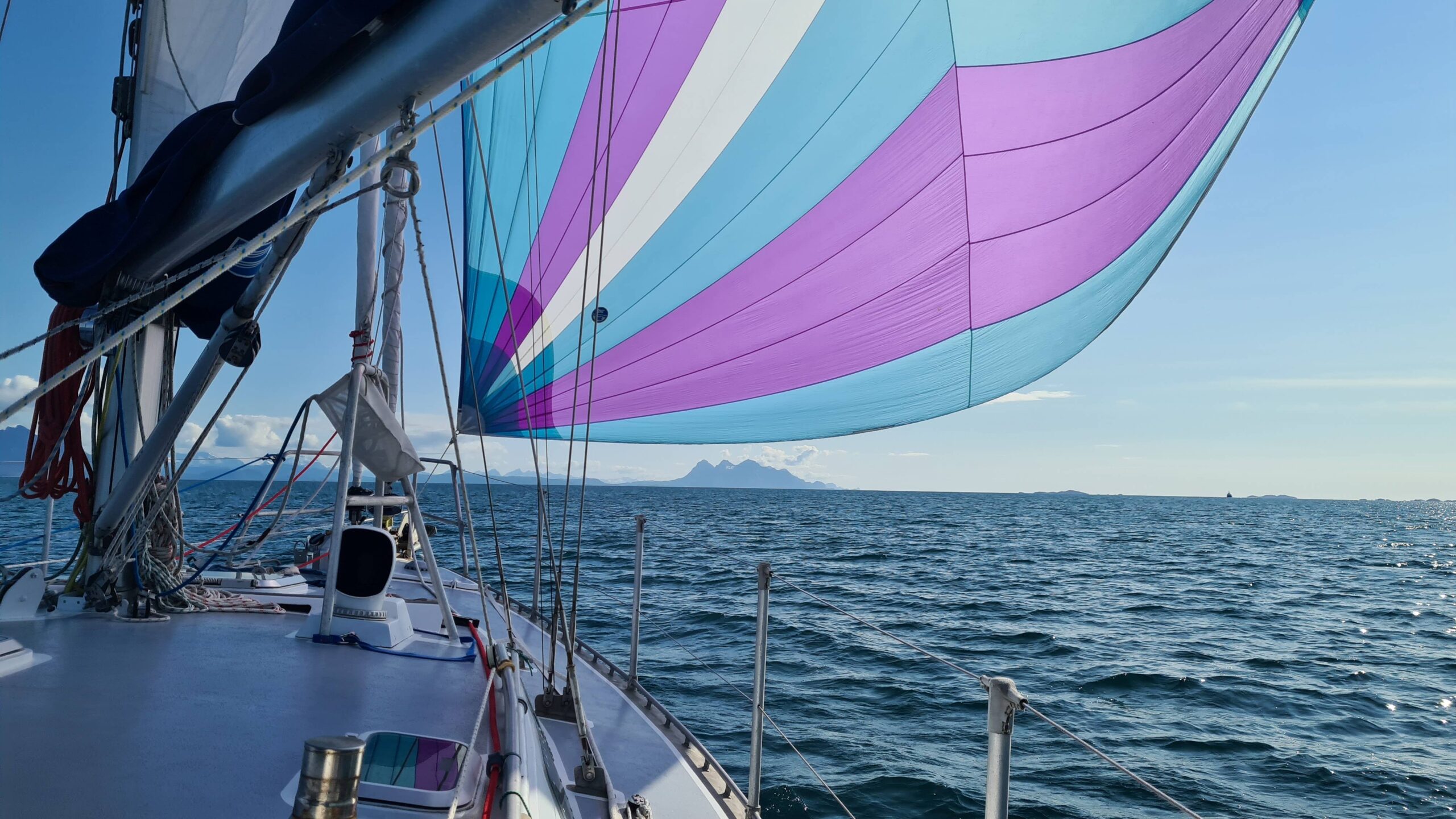
Crossing Vestfjord with the spinnaker!
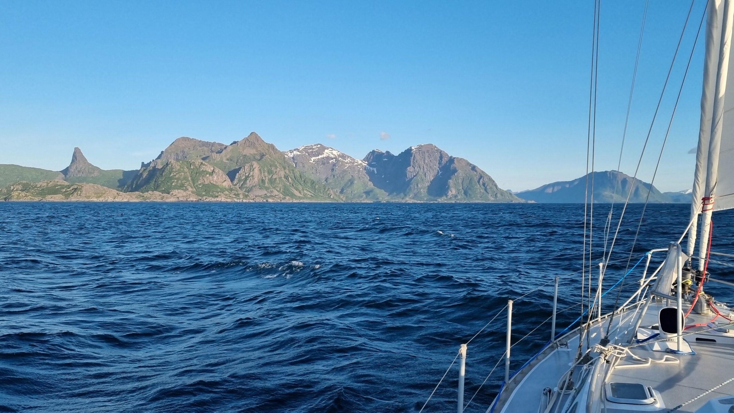
First fjord to the left after the third mountain!
The wind is getting stronger and stronger but it is kind enough to wait until we’ve reached the opposite coast and lowered the spinnaker before starting to blow in earnest. And it continues to rise, and rise still. We take in the first reef, furl the genoa and gybe for a final tack, bringing us closer to the coast. Will we be sheltered? No, it’s worse! The wind is gathering strength along the mountains and we take the second reef.
We’re entering into Økssundet pushed by what we estimate to be a good 25 knots of wind, wondering where the next gust will come from when suddenly: a light headwind! Sailing in the fjords is something special… It must be said that the peaks surrounding us are well over 900 meters, so some disruption in the airflows is to be expected…
There are only a few miles left to Skutvik, which we cover motoring (still the most efficient way in these conditions) and we moor around 11 pm at the visitor pontoon of this charming little port. Perfect, it’s time to prepare dinner: we’re completely jetlagged with this day that’s been going on for us non-stop for several weeks…
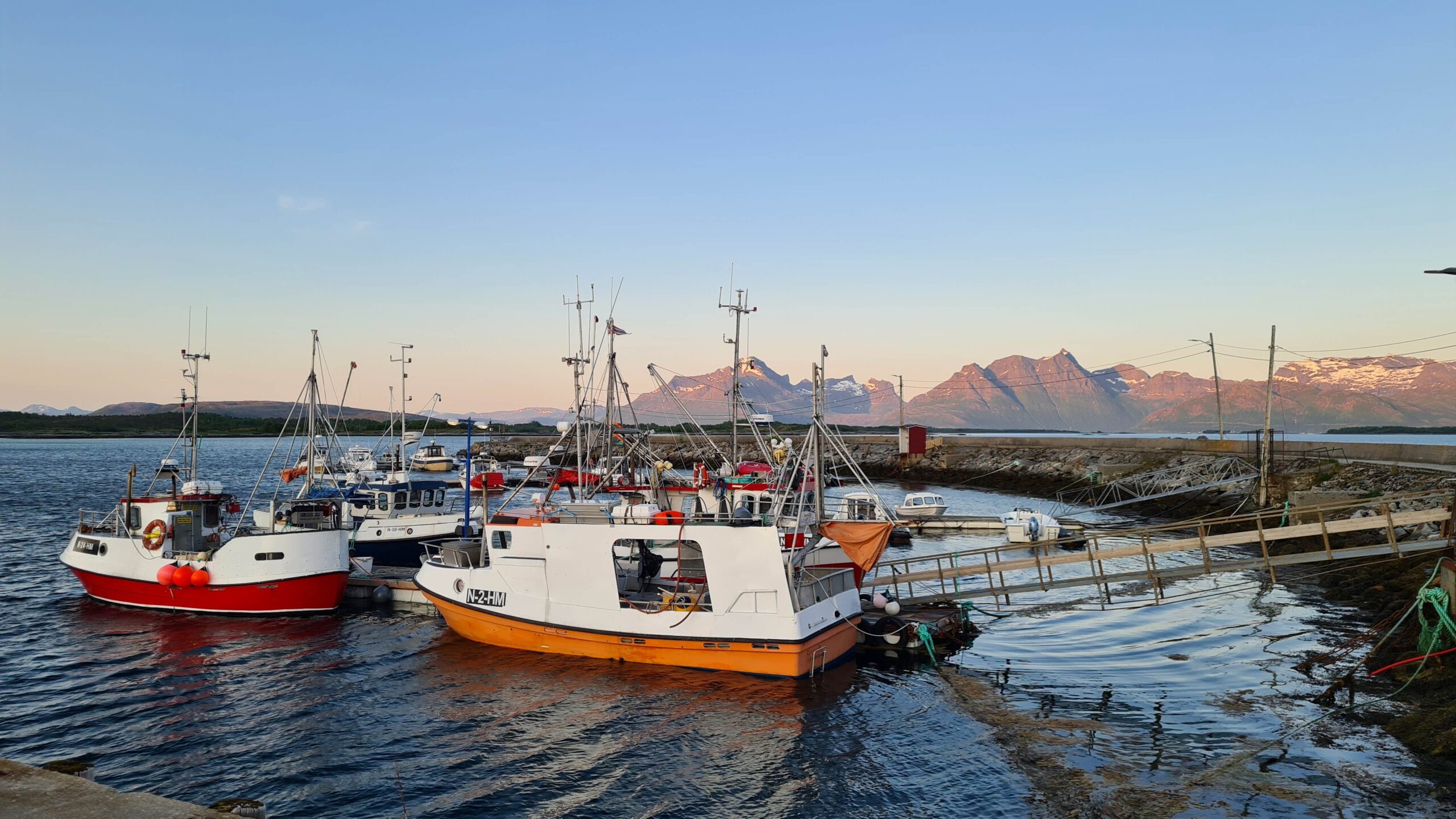
Skutvik at midnight …
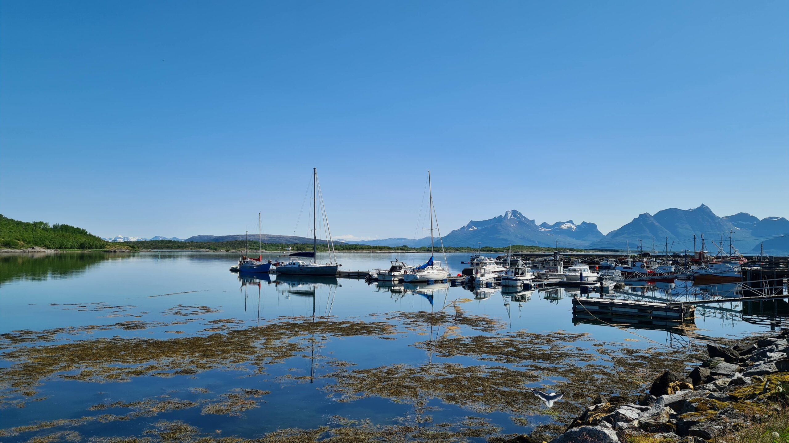
… and in full daylight! Summer is back :o)
However, there’s no question of staying in bed the next day: summer is back until 5 p.m. tonight, and we don’t want to miss a single sunbeam! We spotted a pretty peninsula a few kilometres from the port, too far to walk but easily accessible by bike (we’re loving our bikes more and more!). We instinctively packed our sweaters and jackets but we quickly realize that the dress-code “shorts and T-shirts” is more weather-appropriate. Once there, we even feel warmth—a strange feeling I must say!
We chose this place for the beaches and the turquoise water, but once there we realize that the area has another special feature: its maelstrom, one of the strongest tidal currents in Europe: 10 to 15 knots on average, with a peak measured at 23!
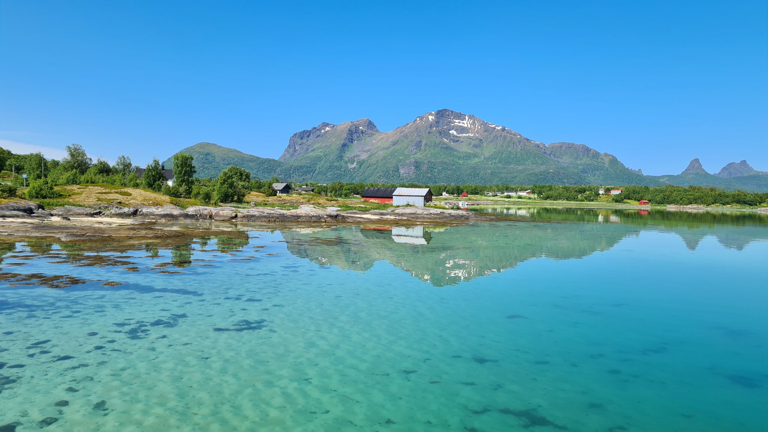
Nope, this gorgeous landscape is not what the place is known for!
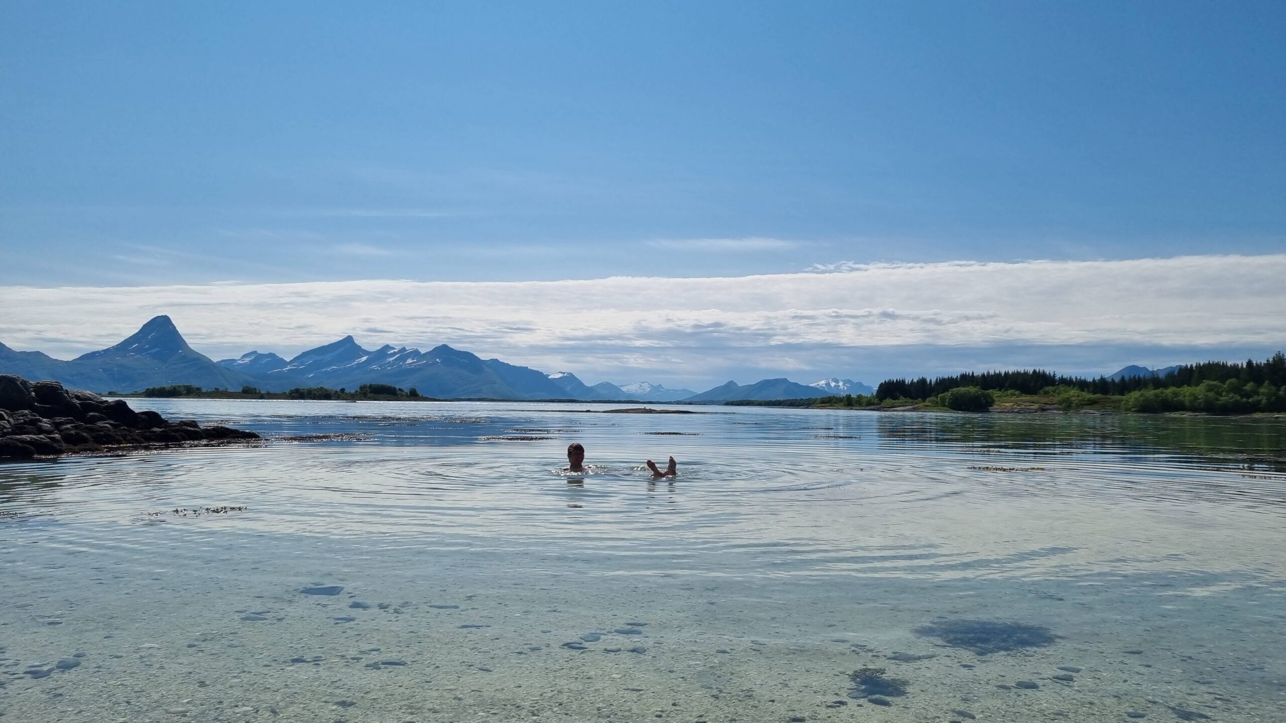
Now Laure doesn’t have the monopoly of arctic swimming!
A few drone shots later and it’s official: we’re sweating! It must be around 25°C. The water is beautiful on these white sand beaches and not that cold by the shore… No one in sight, splash, we’re in the water, both of us this time. Camille’s first swim of the year, at 68°N, not bad!
A summer day wouldn’t be complete without ice cream (the fourth of the trip). To get it, we head to the village supermarket open 24/7. When there’s no one there, you simply scan your credit card to open the door, help yourself, pay at the self-service checkout and close the door behind you! We really are in Norway…
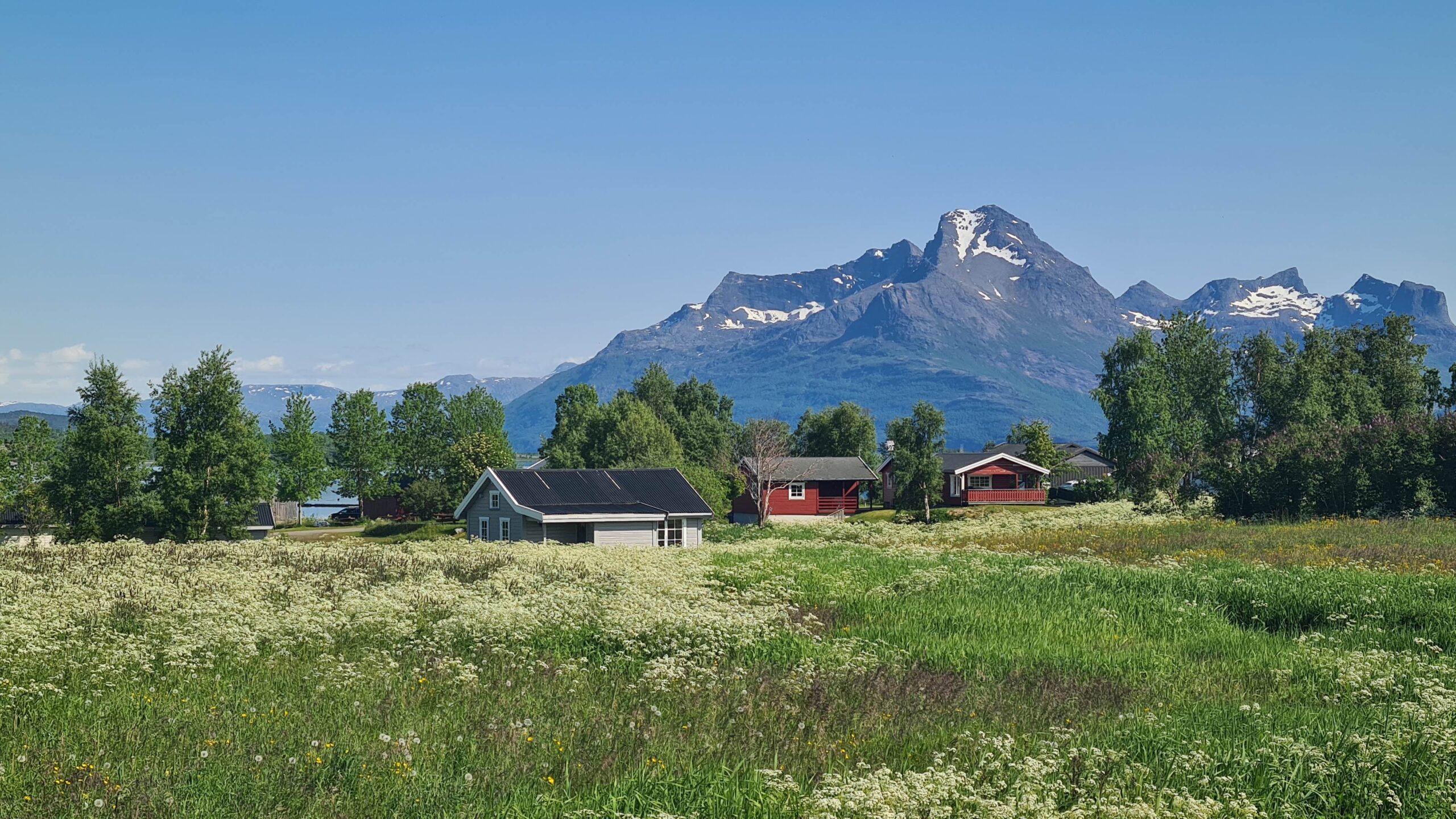
Around Skutvik
But it’s almost time to go home. The Norwegian weather forecast (Yr.no) is accurate to the hour and when we arrive at the boat at 5:10 p.m., the first clouds are here, the wind is picking up, and it’s getting colder. It’s the end of summer… Having the weather forecast to the hour is very practical for optimizing the route or activities, but it has a perverse side: by allowing us to anticipate every change in conditions it dishabituates us from simply adapting to the weather we have. We’re also becoming a bit addicted and can be destabilized when the wind isn’t exactly in line with the forecast. Anyway, those are luxury problems!
June 28-29: Skutvik – Kalvøya (41 NM)
Once the front has passed overnight, we motor a short way into the fjords towards Bogen i Steigen, to wait for a second front to pass through the following night. The port is tiny but there’s a visitor’s berth and even a washing machine that we use, hoping for some sun to dry the laundry. Well, luckily we have room inside the boat to hang everything up…
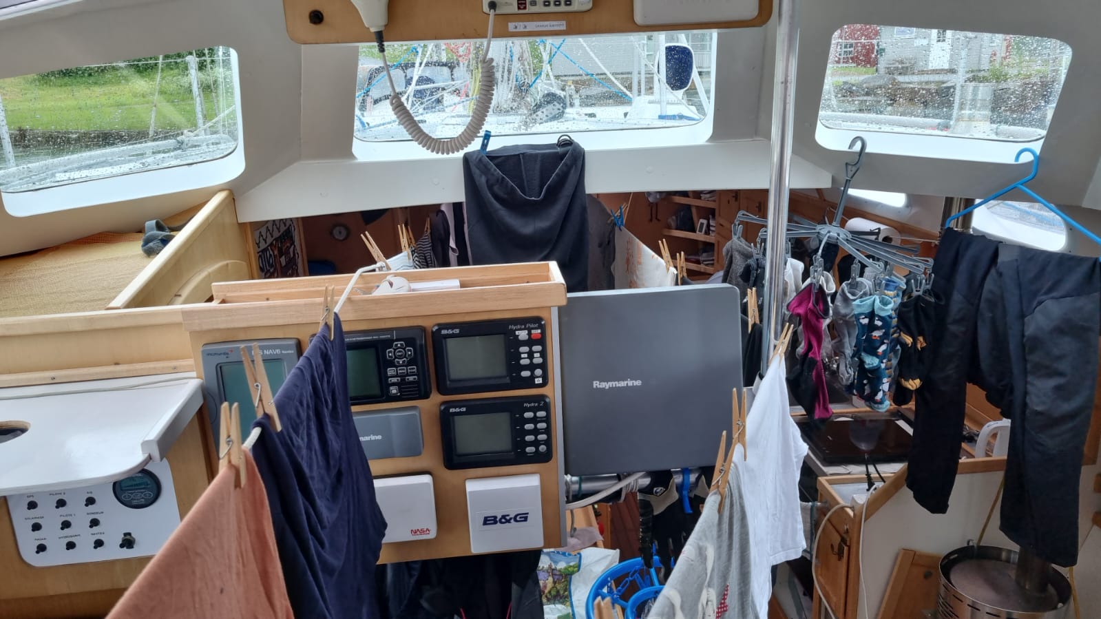
Laundry invading a boat!
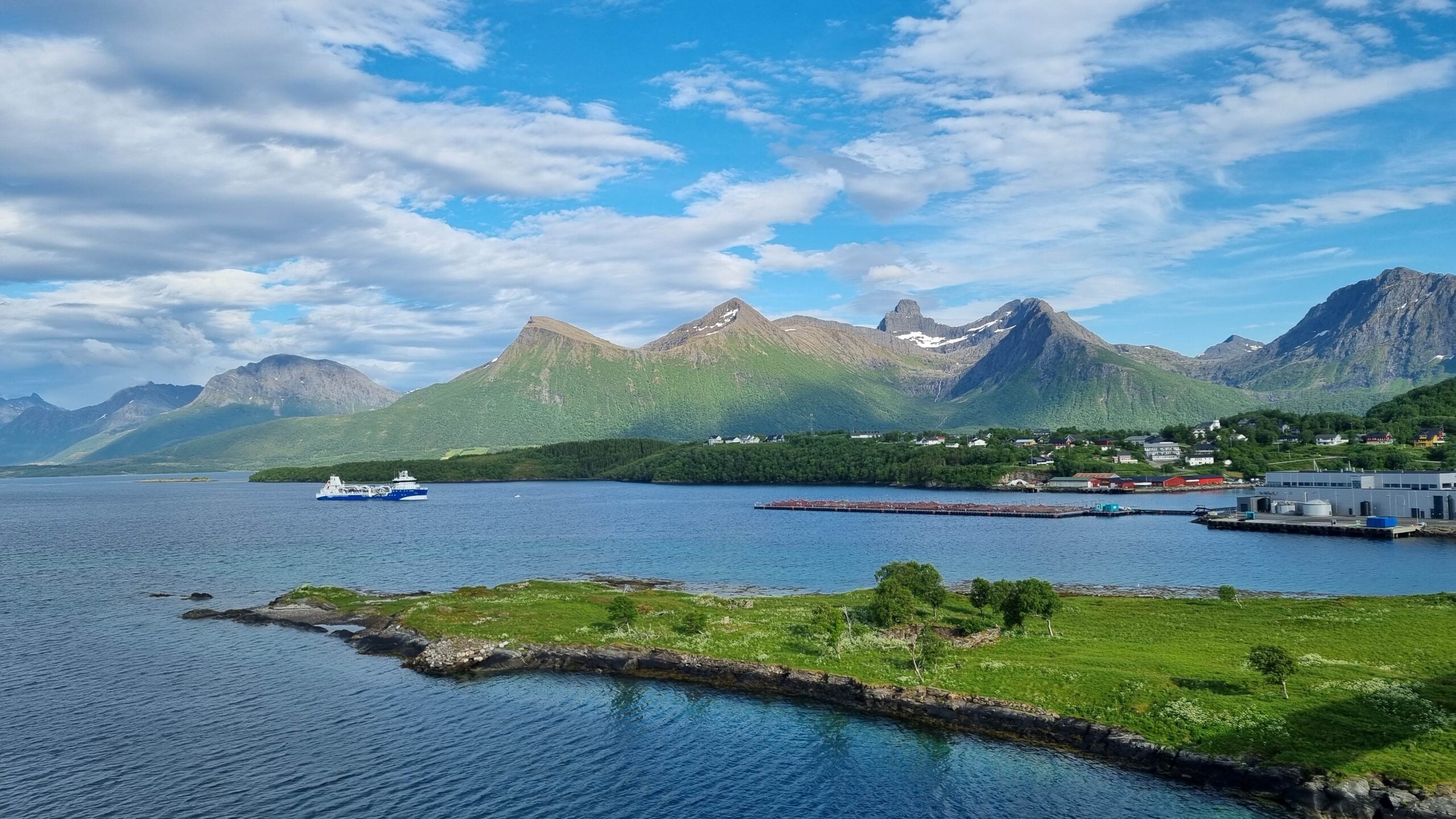
Bogen, its fishfarm, its plastic factory…
In Bogen there’s nothing, or almost nothing. A very expensive supermarket, a fish slaughterhouse, and a plastic packaging factory right next door (these two industries tend to be located together as we noticed). We leave as early as possible the next day, as soon as the strong winds have passed.
We’re hoping for a light westerly wind to keep us moving but we quickly realize that there’s hardly any breeze. The swell is well established however and the only viable option is to sail inside Skjærgård protected from the swell by the islands, unfortunately with the engine on.
One consolation: the coast is very (very!) pretty and the sailing is spectacular, close to the beaches and the high jagged mountains. Even better, the sun is showing up just when we were expecting a drizzle! In the end, once you get used to the engine noise, motor sailing is not so unpleasant!
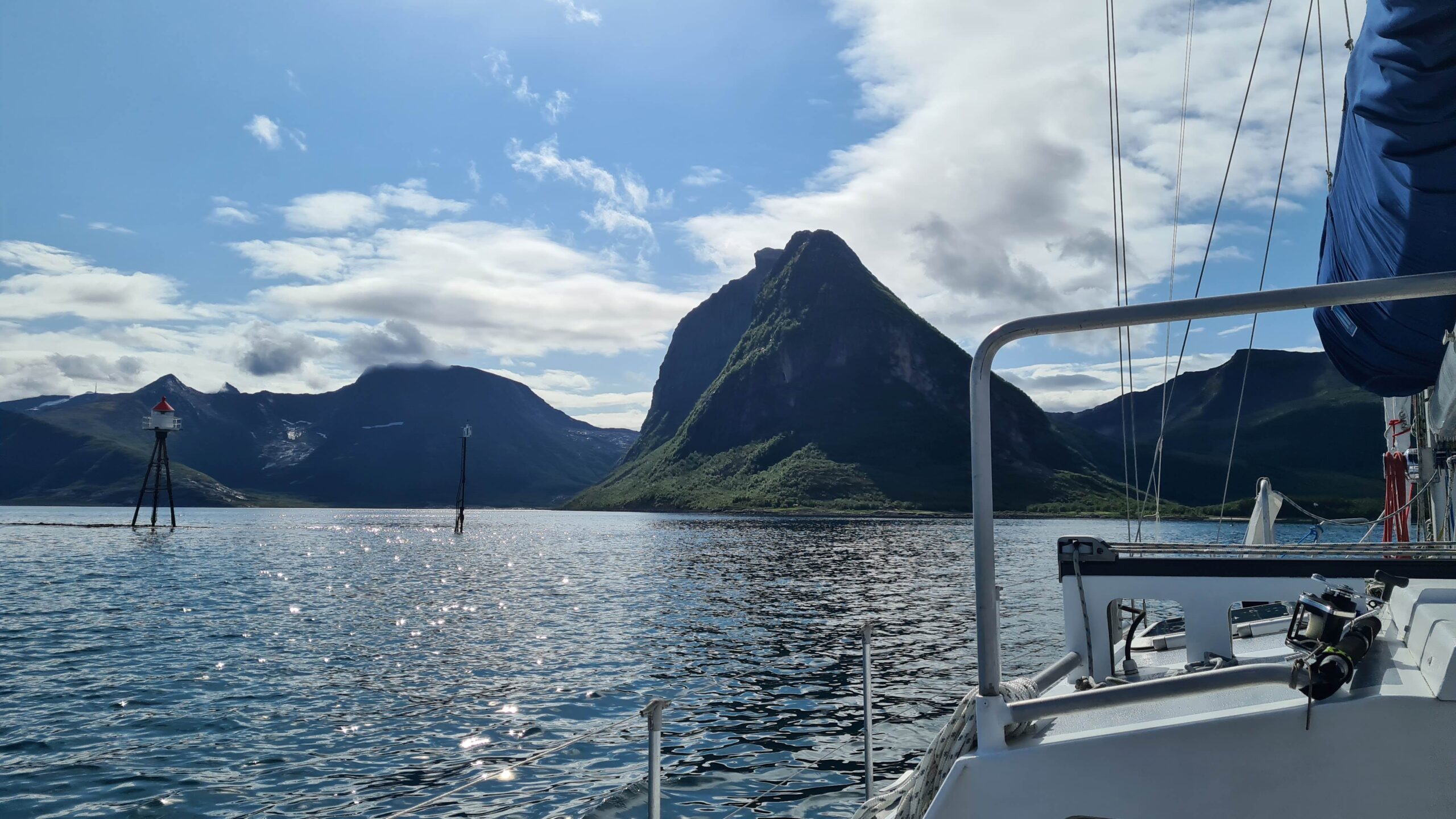
Sailing alongside beaches and mountains equally
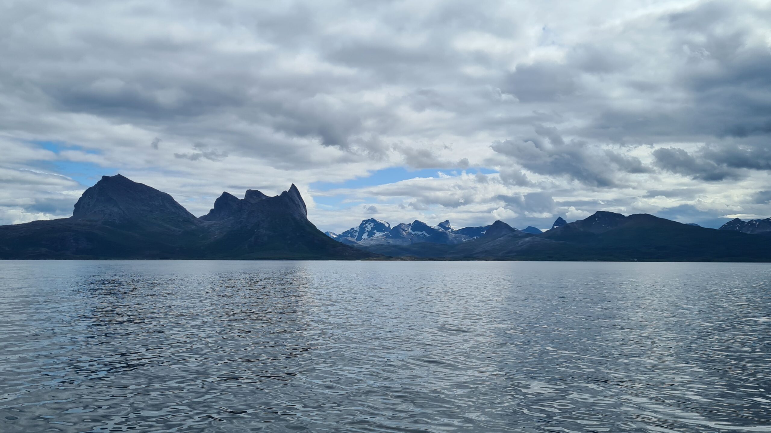
The mainland is particularly mountainous here
We aim to anchor off the Karlsøya Islands and pass the afternoon there. Low and sandy, they should protect us from the swell, if not the wind. No more than 15 knots are forecast and at least we can be sure there won’t be any surprise gusts accelerated by steep slopes!
We take a short photo trip ashore, look at the maerl (the limestone deposit that makes the beaches so white here) and listen to a bird making a peculiar sound in flight due to the friction of its feathers… We’re only missing a fish to complete the perfect anchorage picture, which Laure catches a few minutes later back at the boat. Another pollock, a one-meal size this one (so much the better because we still have some left from the miraculous catch at Rotvær).
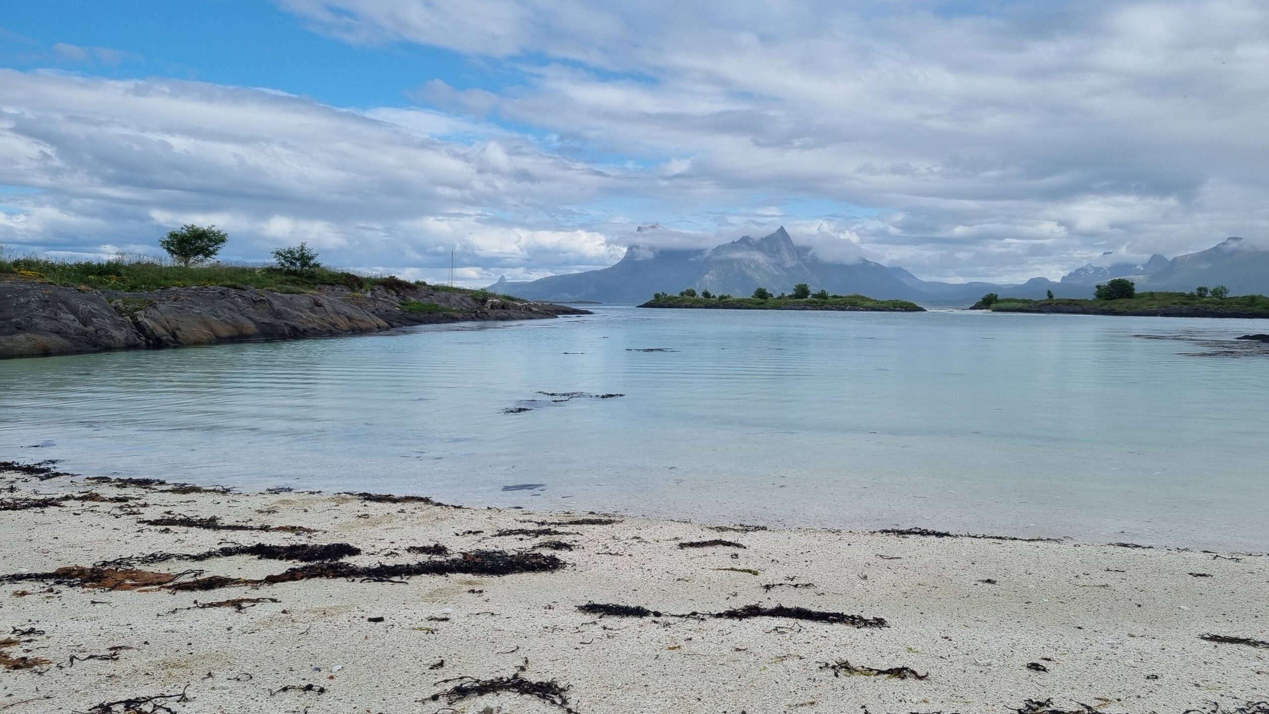
Maerl beach on Karlsøy
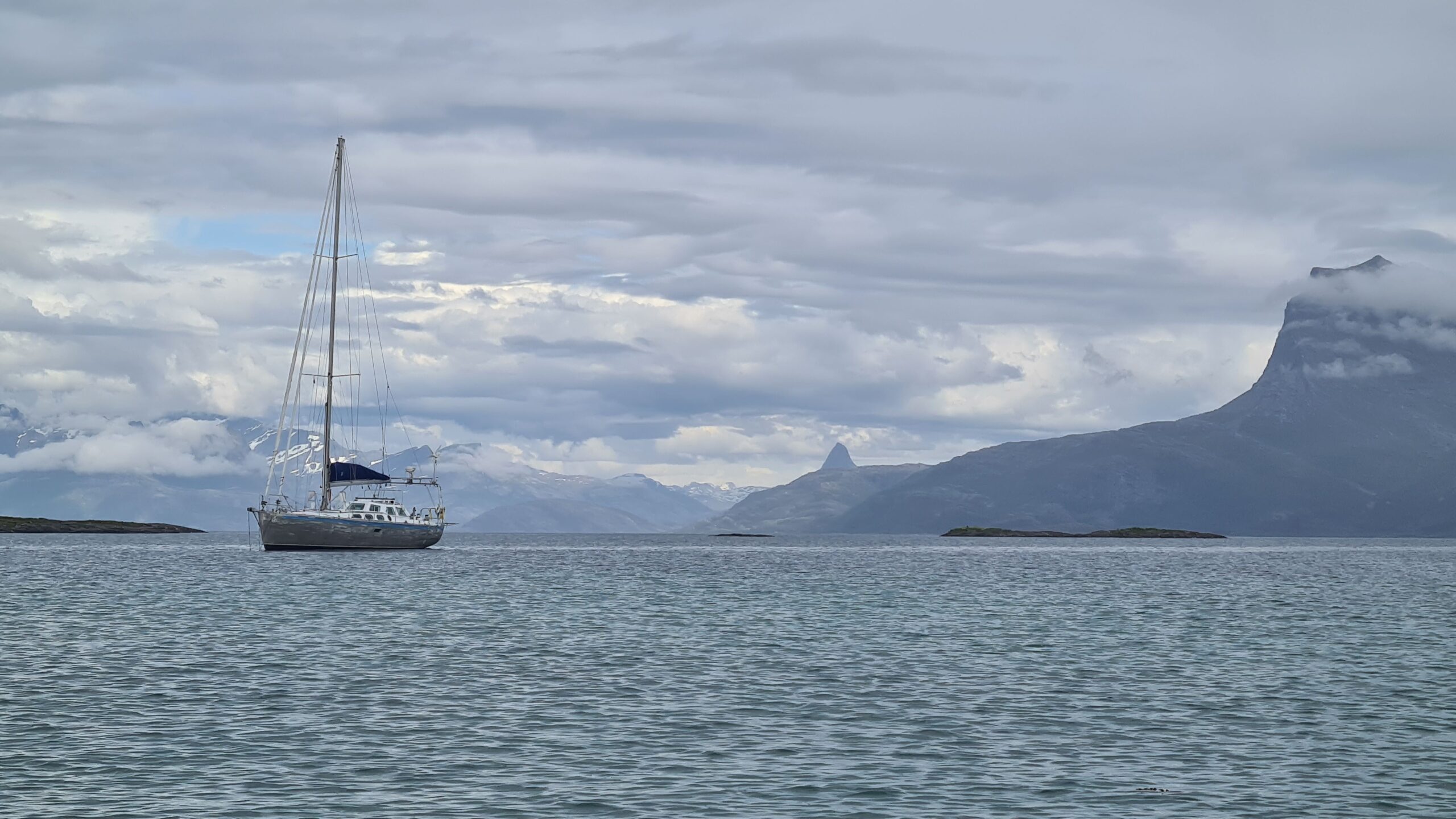
UtPåTur anchored in Karlsøy
We enjoy the peace and quiet of our beautiful anchorage, those slow, somewhat suspended moments, before heading for the big city of Bodø tomorrow.
June 30: Karlsøya – Bodø (28NM)
This little break, chilling at the anchor, was nice and very much needed! Our days have been so intense for weeks now… There’s no question of returning to more normal hours though: the forecast gale won’t arrive until late the following morning, so we have time to enjoy one more island along this incredible coast before arriving in Bodø with a bright daylight in the middle of the night.
We leave the flat archipelago of Karlsøy for the mountainous island of Landegoden. A few upwind tacks in the rain later, we enter the large bay in the north of the island, wondering what gusts its high peaks have in store for us…
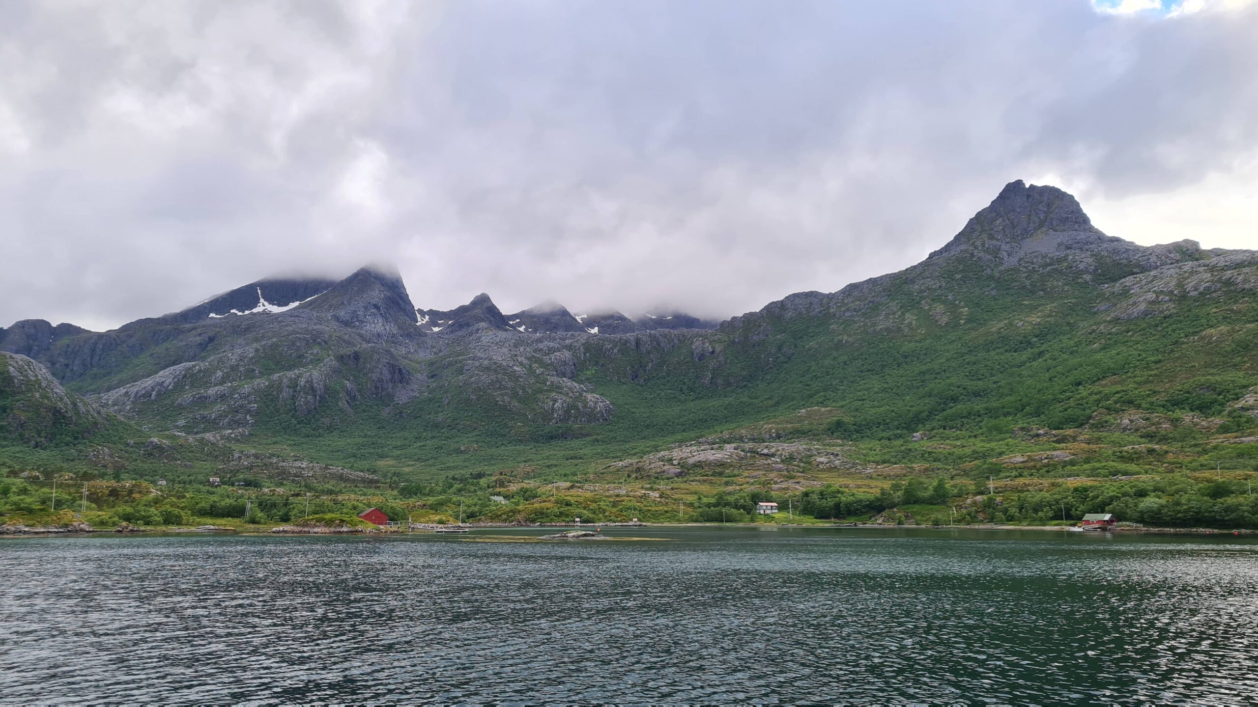
This place looks very much like a gust factory..
Fortunately, the wind is soon dying down completely and while the gusts are indeed coming from all directions, they’re light. The water is relatively calm and we are anchored in 12 meter (we’ve had to get very close to the coast…). We spend the evening in an absolutely magnificent setting, surrounded by jagged peaks!
11:30 p.m., it’s time to set off again. The wind is very calm and we know that the last few miles to Bodø will be diesel-powered. In the orange light of the midnight sun, we head south. Behind us, the Lofoten Islands are receding into the distance… we’re already feeling nostalgic…
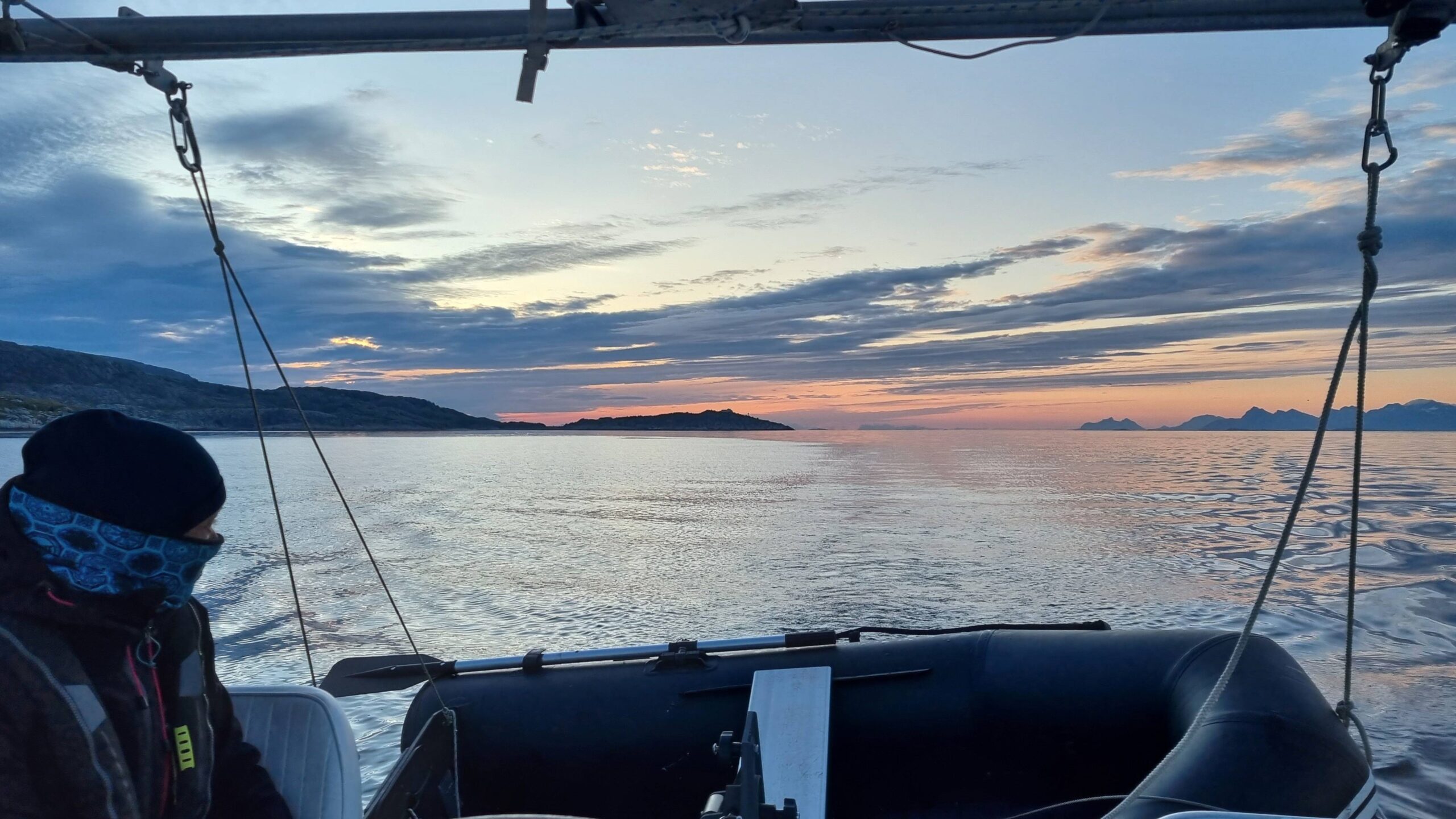
So long dear Lofoten…
But enough day-dreaming, it looks like breaking waves right up ahead… and yet it’s supposed to be completely calm… “Shall we hoist the sails?” asks Laure full of enthusiasm. Camille, as usual, plays it safe, “Wait a minute, I don’t like the look of that th-” She doesn’t have time to finish her sentence and 25 to 30 knots of wind come down from the mountains at full speed towards us. Ah, the hourly forecast hadn’t anticipated that one! A huge katabatic air current, which drags on for 5 minutes, 10 minutes, 15 minutes… We make way, engine at full throttle, beam-on to this stupid wind, increasingly anxious about the conditions we’ll find in the harbour which is rapidly approaching…
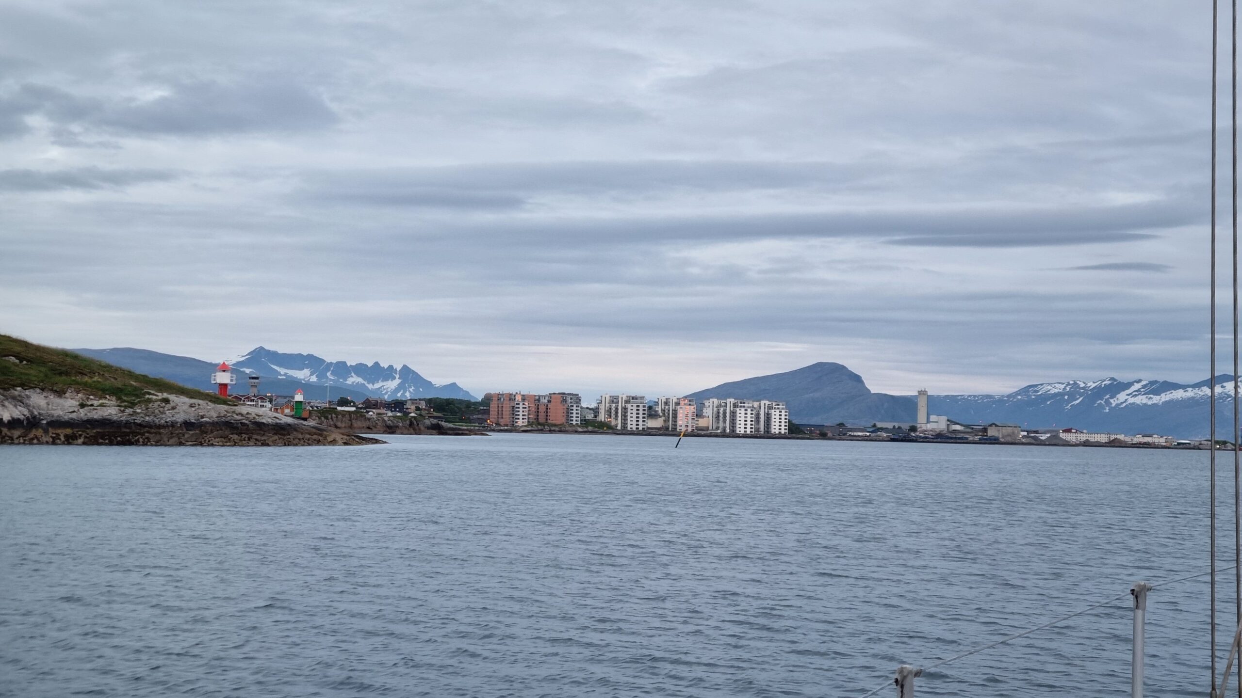
We made it to Bodø shortly before 2 a.m.
20 minutes, the harbour is in sight… in the lee of a lower island the wind drops to 20 knots. Strong, but already unmanageable. Then we only have 15 knots at the jetty and just around 10 with a few gusts in the harbour itself, where we take the very last available spot. It is exposed to the traffic outside the breakwater but we are nonetheless relieved to arrive without breaking anything!
July 1-2: stopover in Bodø
After a short, refreshing nap, we notice that a spot has become available on one of the well-sheltered pontoons inside the harbour and we rush to grab it. Well, this time we’re ready; the gale may well come… which it does at 1:30 p.m. sharp, as predicted by our beloved weather forecast…
The timing of this gale is excellent because we have to pick up our replacement anemometer in Bodø which is arriving today. Now we have the wind speed again. We hope this one is waterproof… We also take advantage of being in a big city to do some technical shopping at the Biltema store and stock up on food, which is unfortunately excessively expensive in these remote regions…
Indeed, although remote beyond the Arctic Circle Bodø is a large city. With 40,000 inhabitants, it’s one of the largest cities in the North together with Tromsø. A martyr city during World War II when 60% of it was destroyed by Nazi bombing in one evening, Bodø experienced its boom during the Cold War. Norway was for a long time the only NATO country to share a border with Russia and the city, built on a relatively flat peninsula compared to the surrounding high mountains, was home to a huge military airport until 2022, keeping several F16s on permanent alert, ready to take off in 5 minutes.
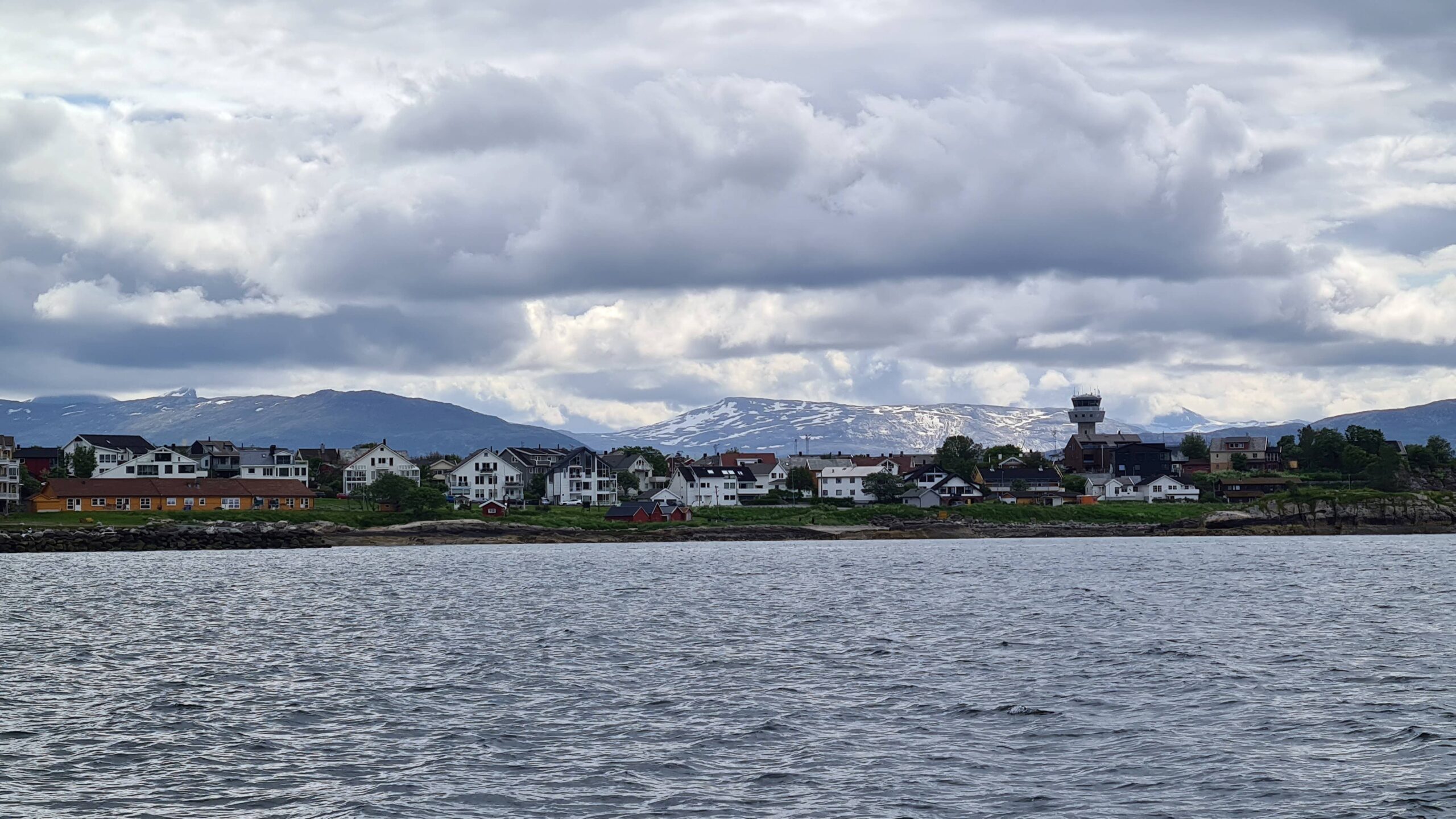
Bodø and its control tower!
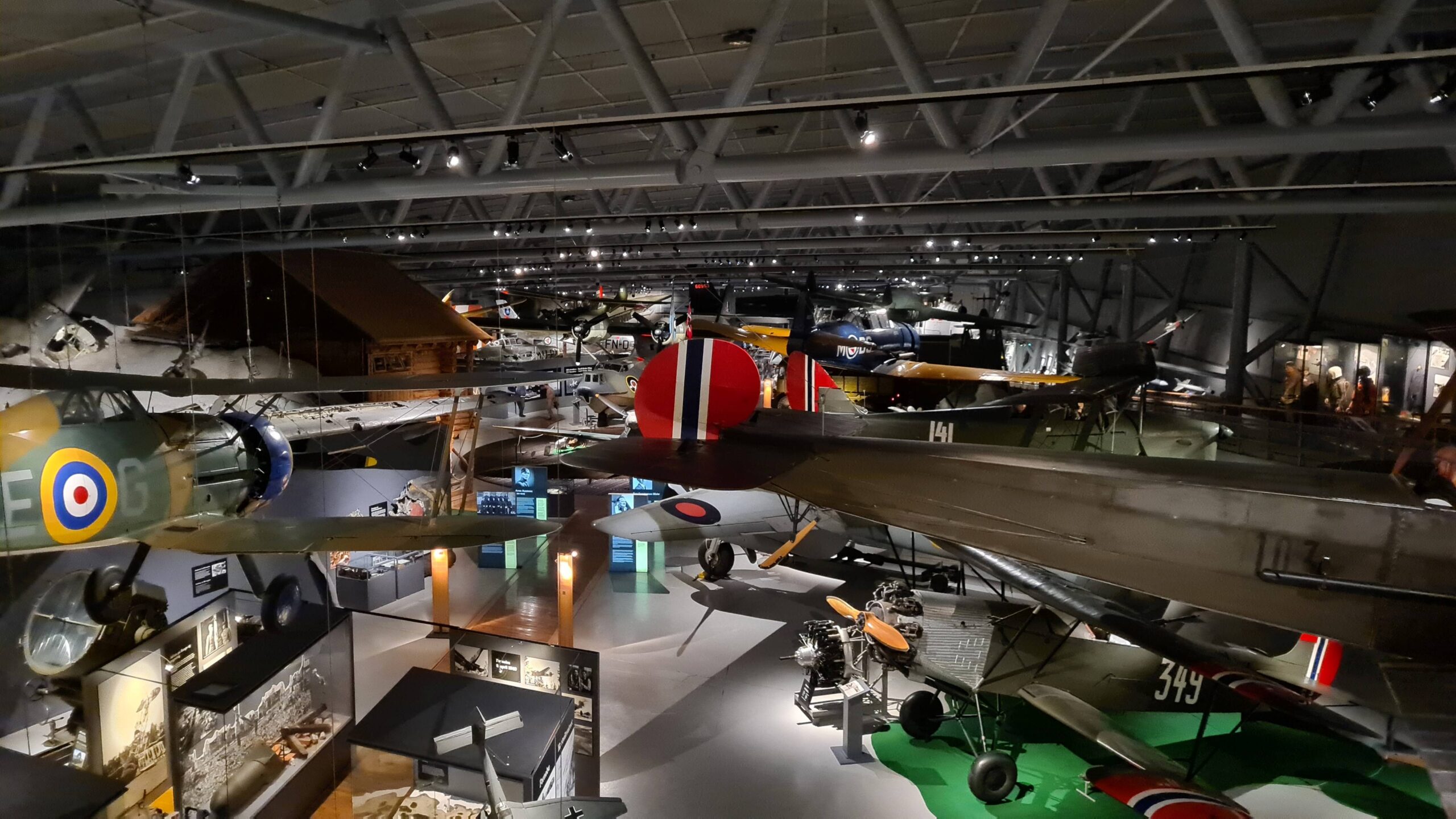
Planes, more planes, and again planes in Bodø’s museum
It’s only natural to find the Norwegian Aviation Museum there and we spend hours, especially in the polar exploration and civil aviation sections! Another resting day when we didn’t stop… and it’s not over yet. Back onboard we find a leak (still unexplained by the way) on the black water tank (well, yellow water, more accurately…); then we spend a good evening with Rémi from the sailboat Astragal, an Ovni 450, friends of the Noranna. We are almost eager to get back to sea for a proper rest…
July 3-4 : Bodø – Svartisen (72NM)
We set off in a light south-westerly wind (right in the nose), which should be turning in a more favourable direction, in this case, northwest. We set off enthusiastically, tacking between islands that aren’t too close together, hoping to soon be able to make a direct route.
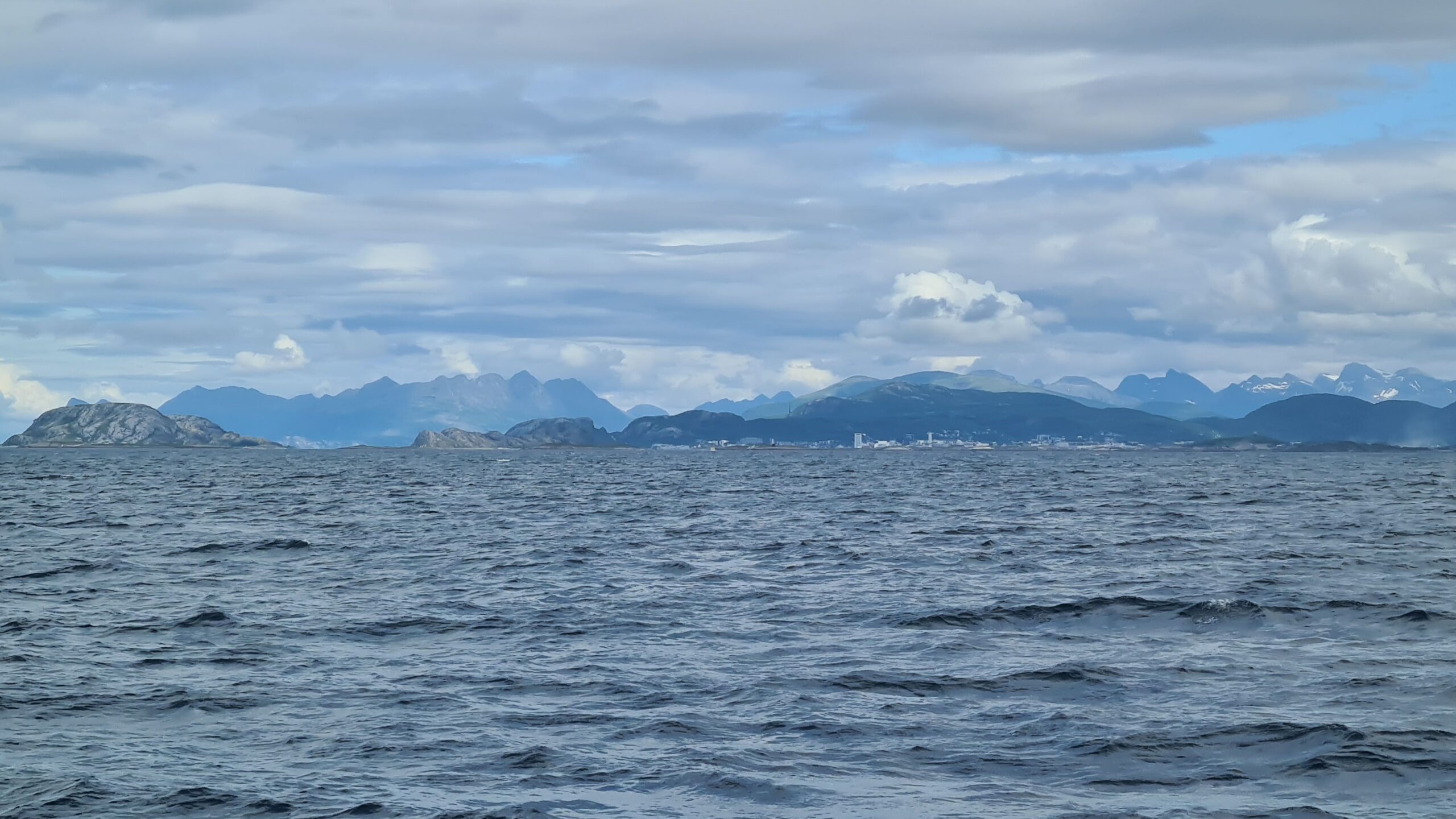
Bodø, dwarfed by the surrounding mountains
But after long hours dotted with squalls, struggling to gain ground against the wind and current, we have to face the facts: the wind isn’t veering. It is only easing a little.
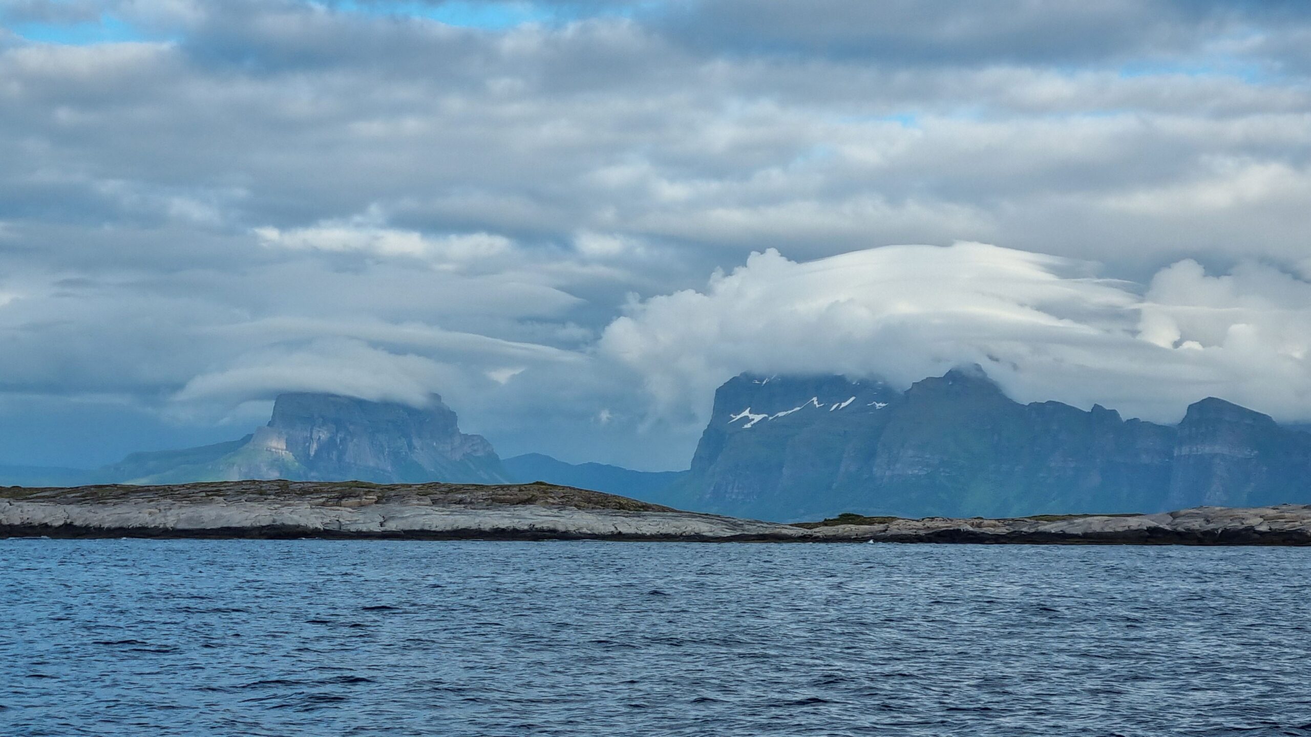
The shore is still very dramatic, up to the clouds!
Another day that ends with the sound engine as is often the case in this region… It really isn’t our preferred kind of sailing… Around 11 p.m., we feel very sleepy and moor at the pontoon in Bolga to give Musclor and the crew a few hours of rest.
We set off at 7 a.m. the next day, still motor-sailing up the Holandsfjord, at the end of which lies our next goal: the Svartisen glacier. The spot is well-known and sometimes visited by cruise ships, so it’s good to be there early.
Phew, no one at the end of the fjord, just two German boats on the small pontoon, who calls out to us from afar: “Do you want photos of your boat with the glacier? Come here before you dock, we’ll take some for you!” Wow, how kind, what a great idea! Thanks to the sailboat Lucy for these incredible shots…
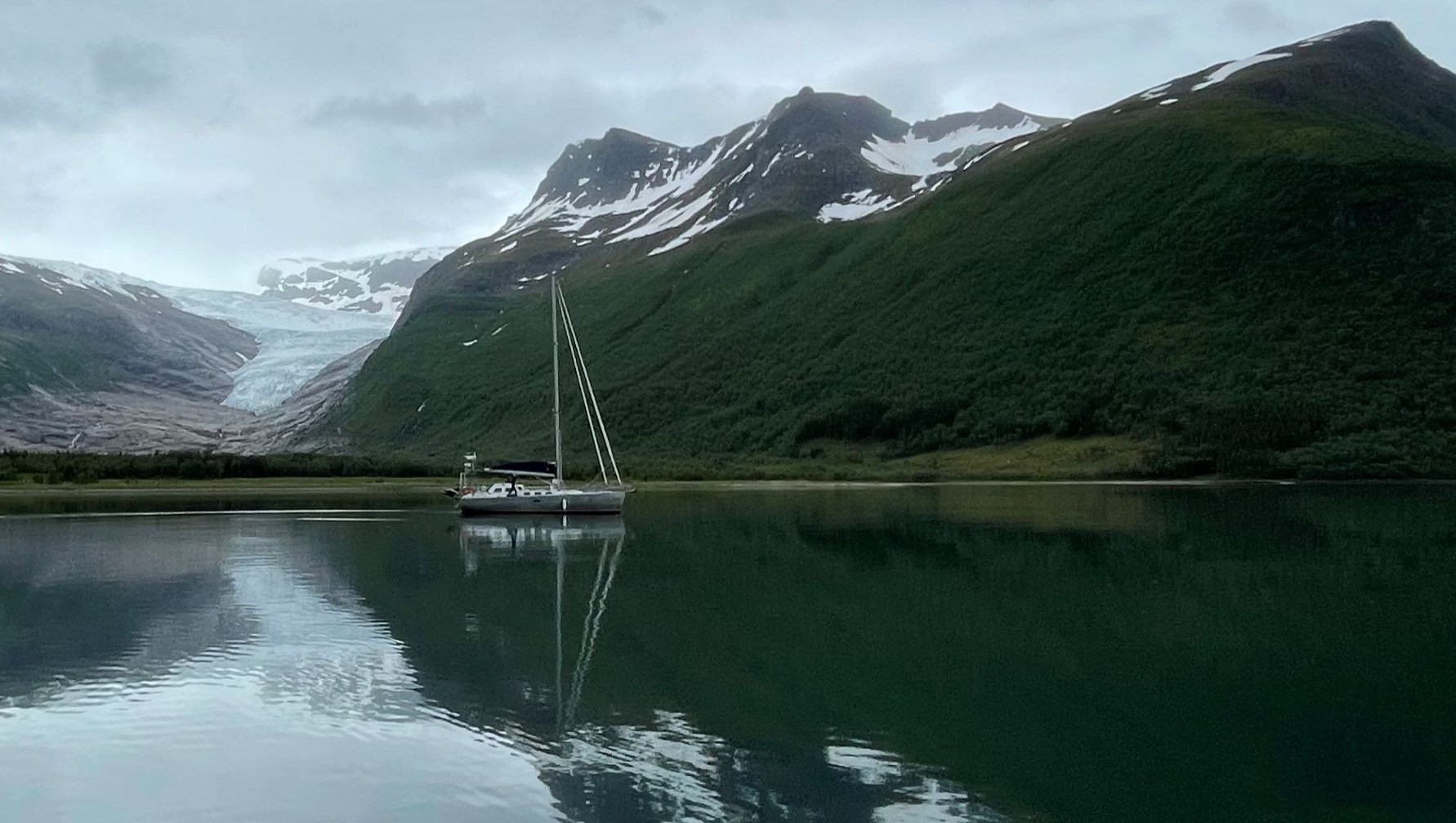
UtPåTur in front of Svartisen
It must be said that the place is unique. From the boat, you can see the tongue of the Svartisen glacier advancing towards the sea. And logically, the view to the boat from the glacier isn’t bad either!
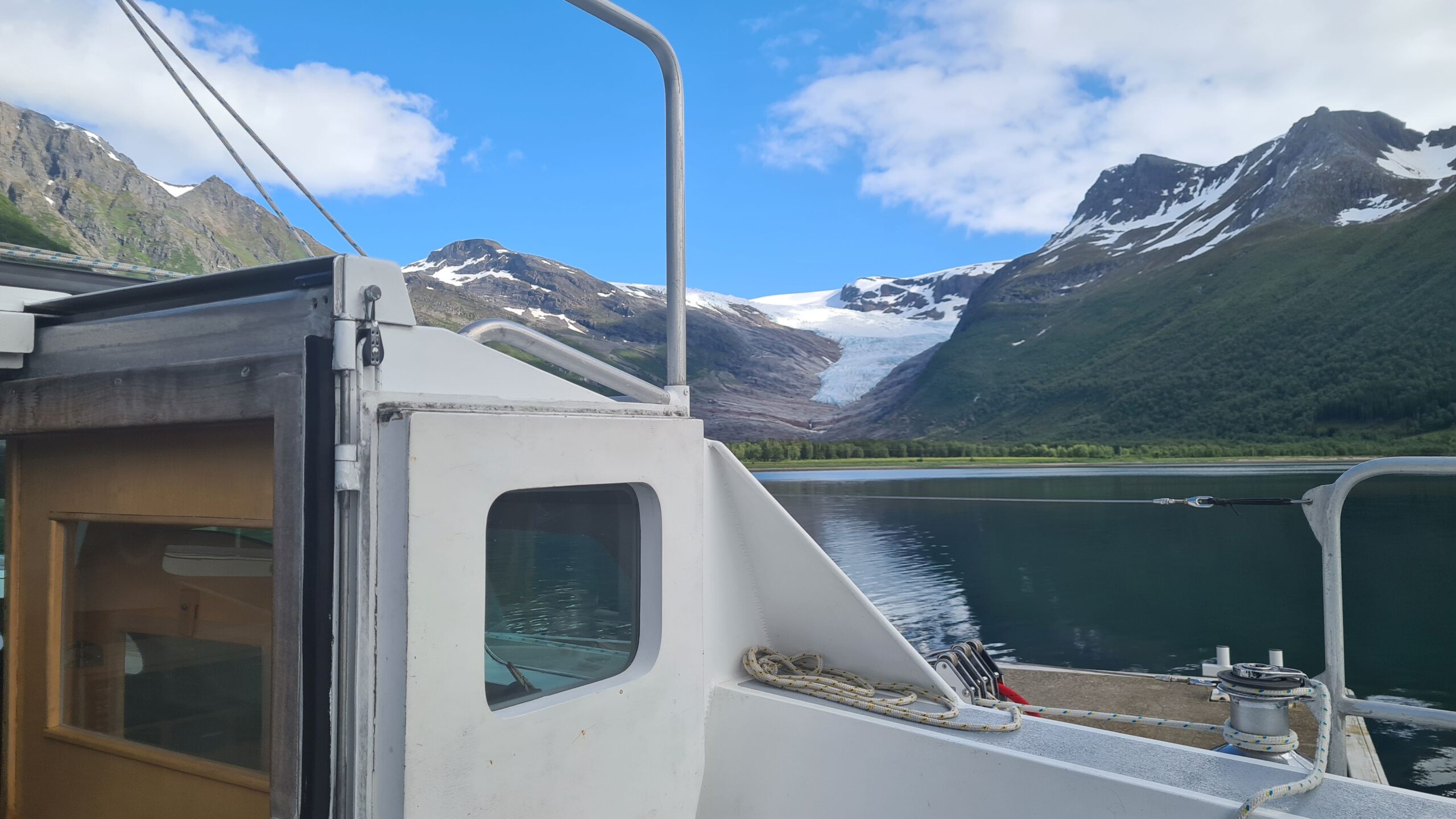
The glacier from UtPåTur…
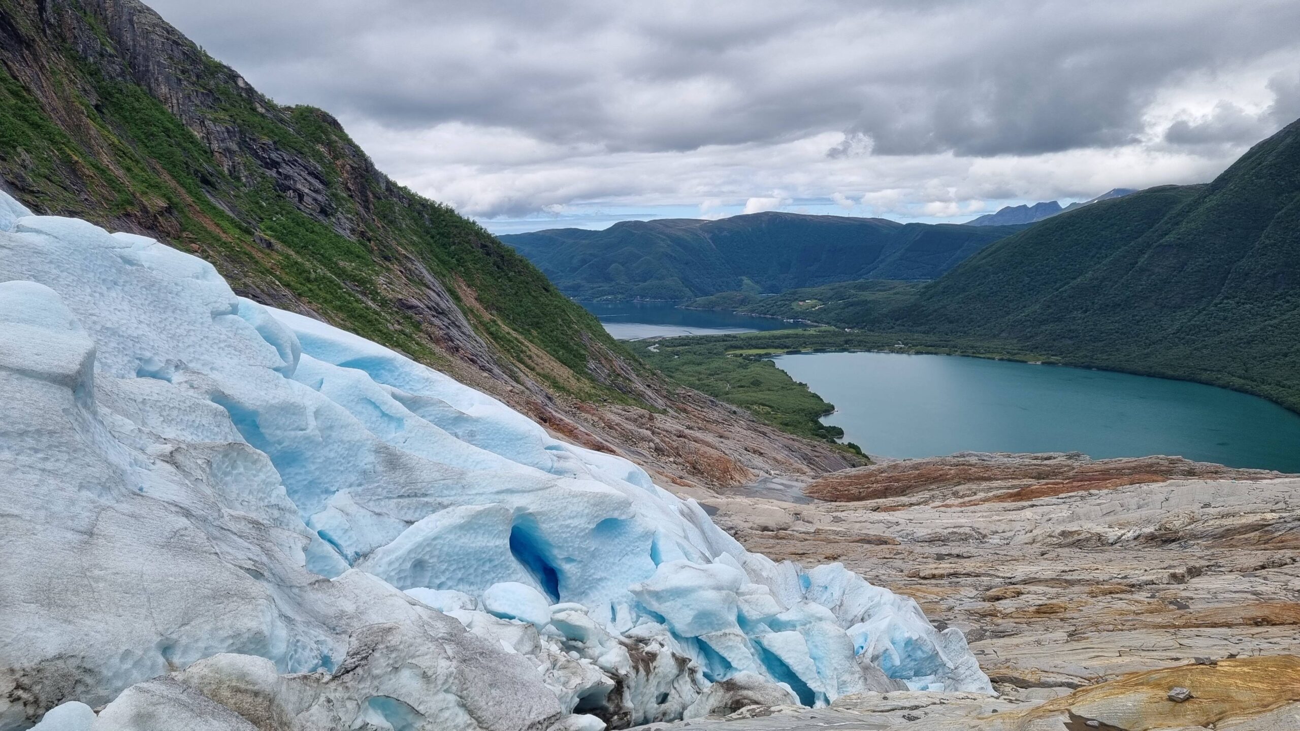
… and UtPåTur from the glacier!
The hike is stunning, both because of the very impressive glacier seen up close and of the surrounding rocks polished by the friction of the enormous mass of ice that advances each winter and then retreats each summer… and unfortunately is retreating more and more with global warming, as confirmed by comparison with recent photos and the accounts of sailors who passed through here 11 years ago…
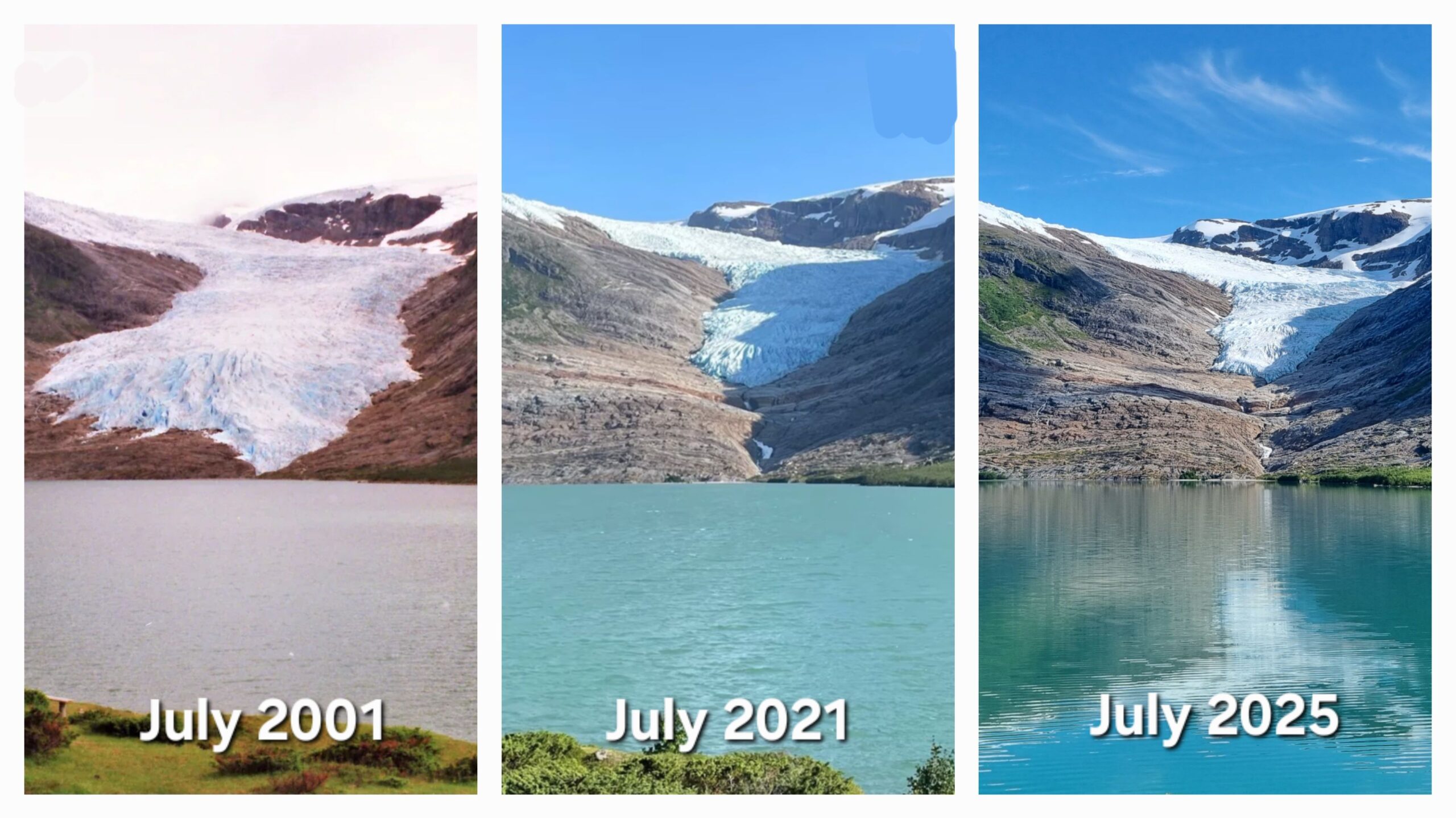
Nobody is surprised any longer, but its retreating…
Another magical place that we feel privileged to visit while it’s still accessible, thanks to our floating home!
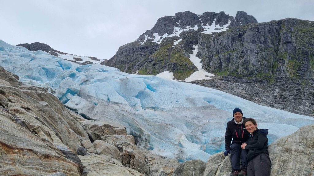
By the ice front !
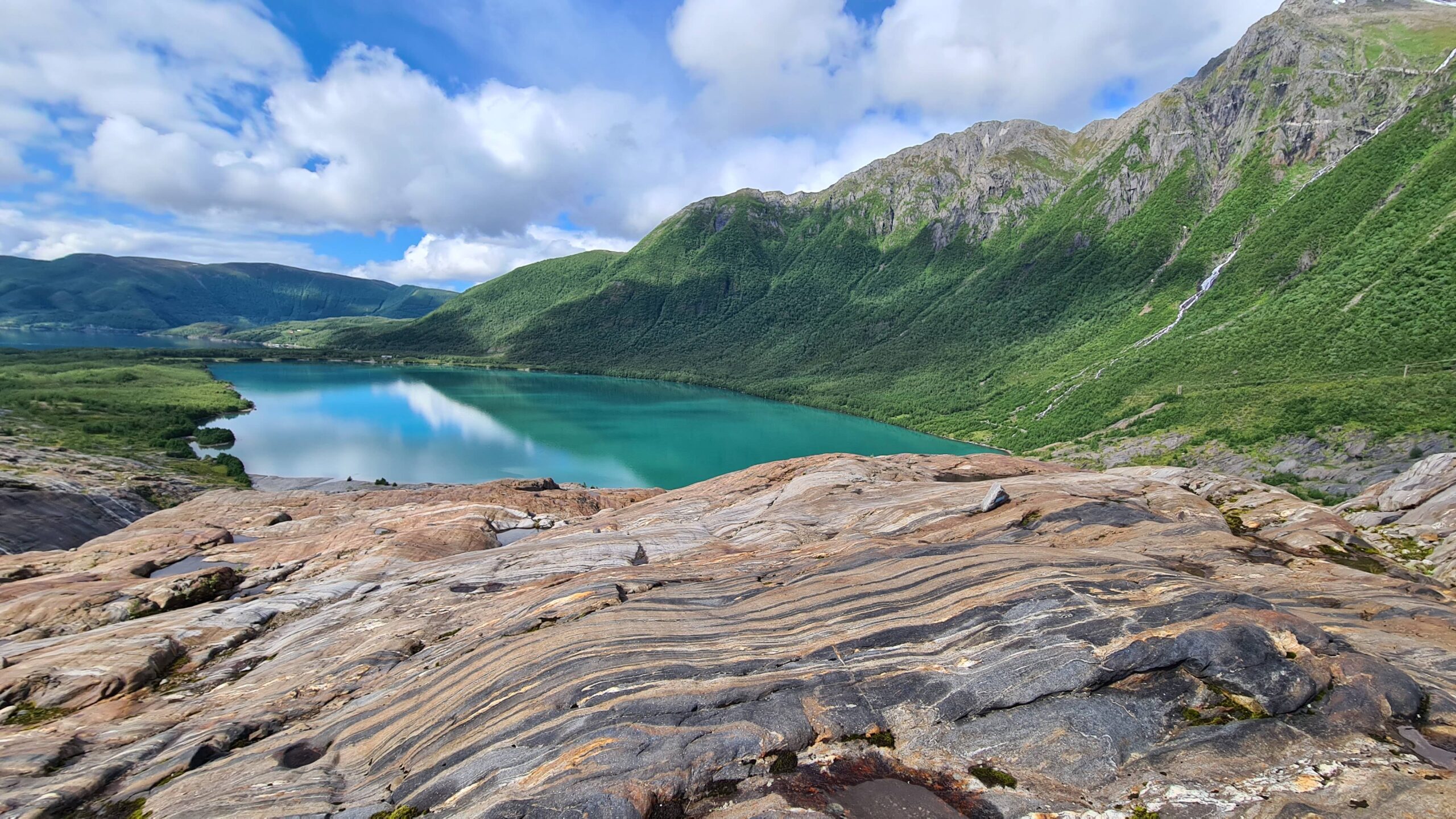
The geology is also really impressive!
July 5: Svartisen – Sandnessjøen (61NM)
Today the wind is forecast firmly north, which is noticeable in this region where the southwest prevails. It’s worth taking advantage of it to head south. The fjord is magnificent this morning; looking at the glacier all the time, we almost forget the surrounding mountains! What a beautiful place…
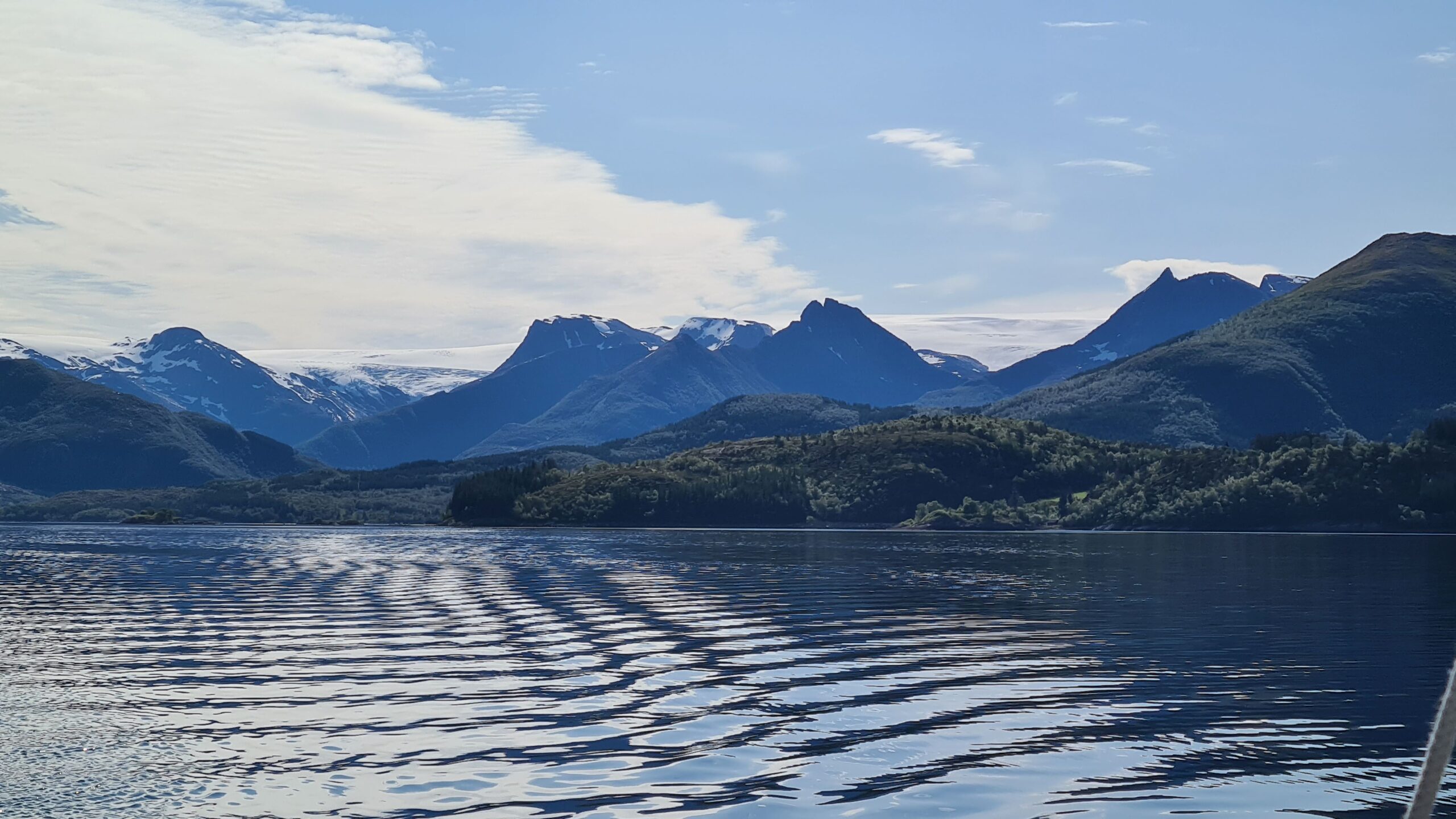
From the fjord one can appreciate the true size of the glacier
…And deep! 17 meters at the pontoon, quickly over a hundred meters as soon as we move away from the shore. We try to catch a cod or two before leaving but without success, the boat is drifting too fast. Too bad, we fall back on a classic trolling line; our protein reserves are a little low, so we’d settle for pollock…
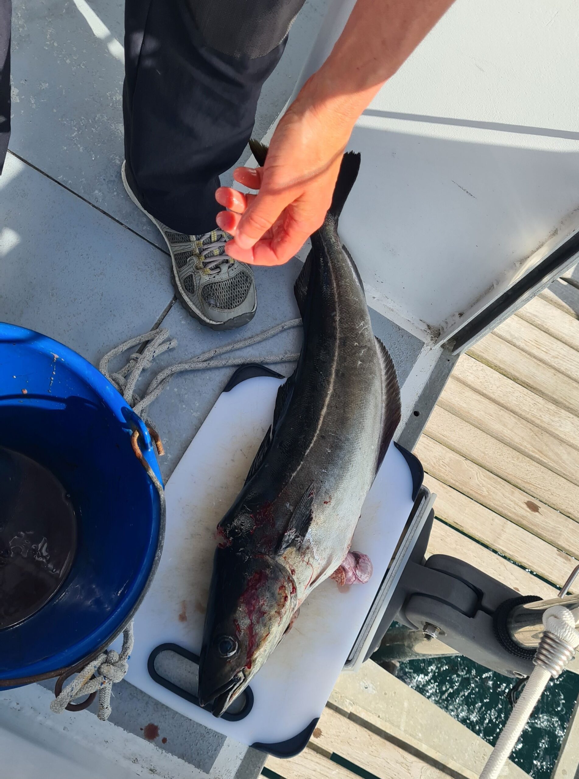
Just a random pollock…
All we had to do was ask, we pull up a big one, 75 centimetres long and weighing several kilos. A “five-meal” pollock. We’ll be frustrated when we only catch small mackerel now…
Once food is secured, we continue our journey through the Skjærgård which here consists of very high and steep islands. We sail directly downwind between the rocks, goose-winged, which requires a full-time helmswoman and a full-time navigator; we’re not idle!
On a rocky island, a statue in the shape of a globe marks the latitude of the Arctic Circle, which we’re crossing a second time, thus leaving the high latitudes and the Arctic Ocean behind.
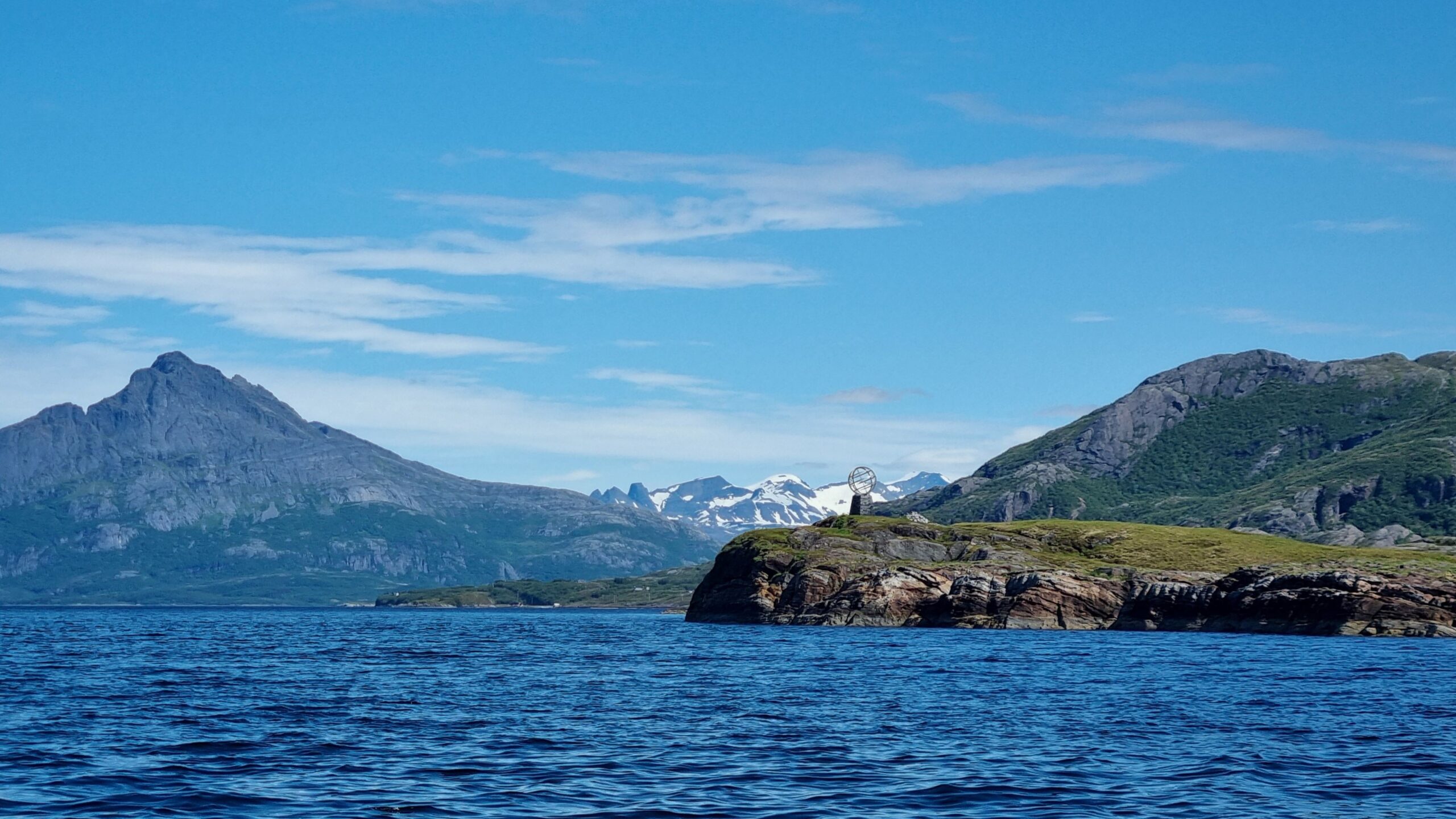
UtPåTur crossing the polar circle again…
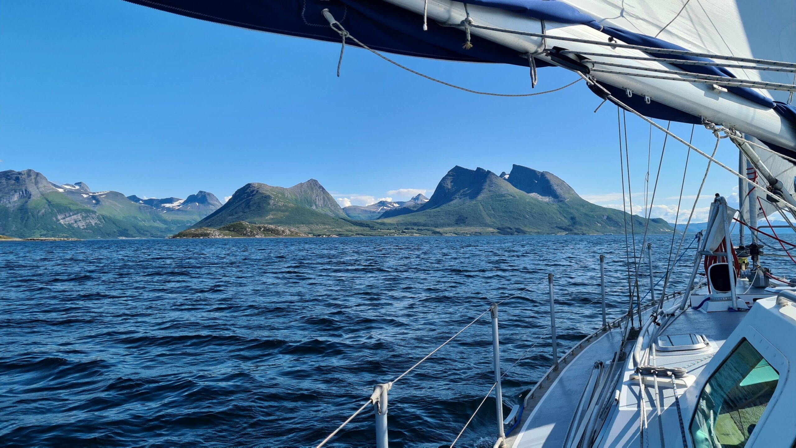
The worst thing is that we get used to such a landscape…
After a dozen hours of sailing between the islands we’re exhausted and just want to get the boat to a safe place to sleep. The port of Sandnessjøen is right there on the way, it will be perfect!
There are many more boats than during our first visit; the Norwegian summer vacation has begun… The Seven Sisters mountains have changed too; there’s almost no snow left! We can feel the season moving forward and tonight the sun will set for the first time since… June 13th in Sandnessjøen! Coincidentally, we are ending this long 23-day day where it began, thus clearly completing the Arctic cycle of our trip.
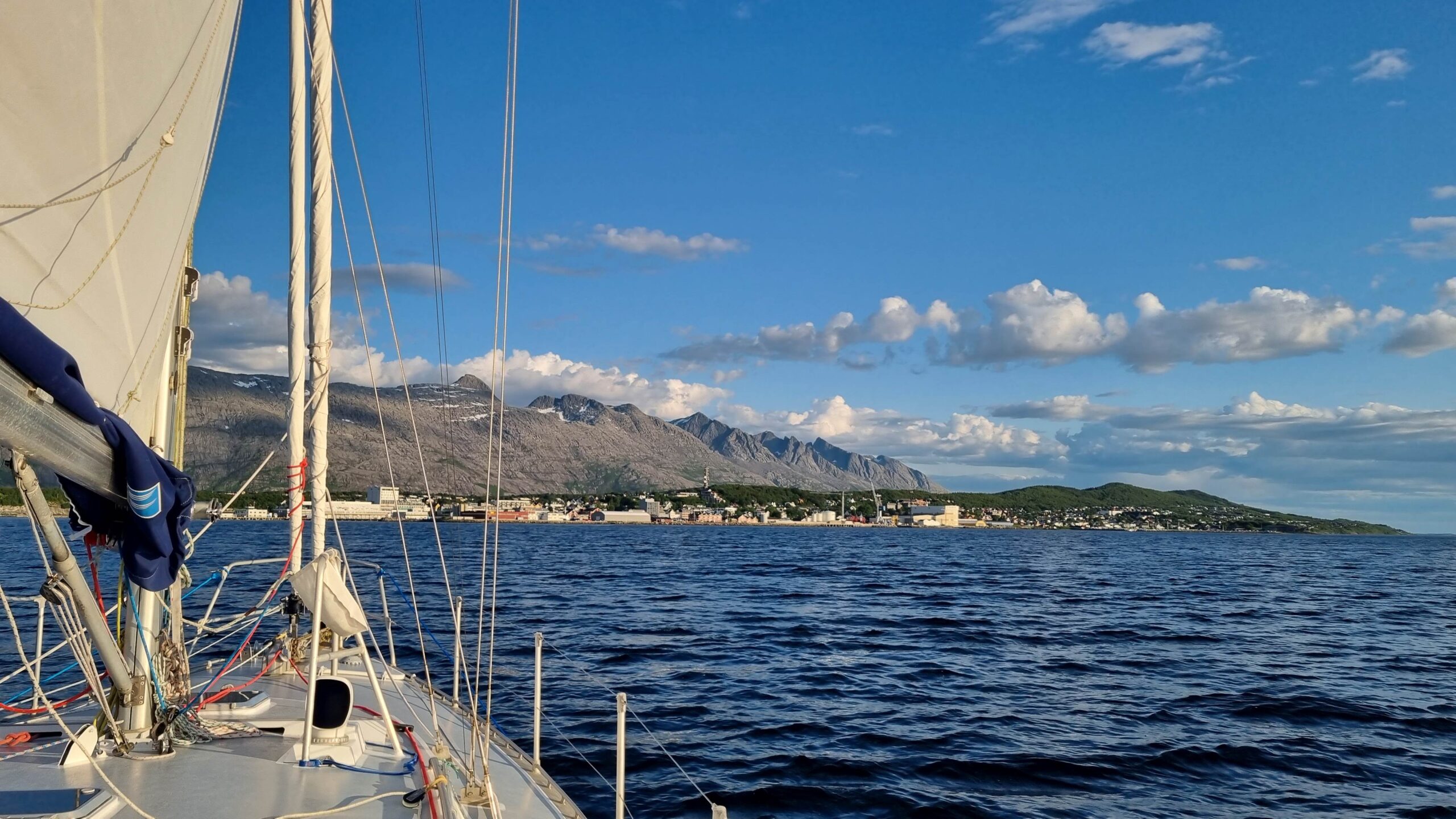
Sandnessjøen and the Seven-Sisters… in the summer !
July 6-7 : Sandnessjøen – Vega (31NM)
We’re not quite done with the Norland region and the splendid Helgeland coast. For our final stop, we head to the island of Vega in an increasingly warm sun. Summer is making yet another strong comeback, and this time it seems to be here to stay. We’ve been really lucky with the weather so far this year…
Vega is a large island and is listed as a UNESCO World Heritage Site, both for its distinctive landscape and for the symbiotic relationship the locals have developed with the eider ducks. The island and its impressive archipelago lie on the eider migratory route. To encourage them to settle, the locals used to prepare comfortable little houses so the ducks would feel at home and choose to nest there. Word-of-beak helping, more and more eider ducks came to breed at this five-star establishment offering every comfort and impeccable anti-predator security. During nesting, the ducks use their own down to insulate the eggs and keep them warm. Once the eggs hatch and the whole family has left for new adventures, the down remains in the nest ready to be collected, cleaned, and used in quilts or clothing. The sale of these luxury quilts provided additional income for the fishermen and farmers of these poor, rocky, storm-prone islands.
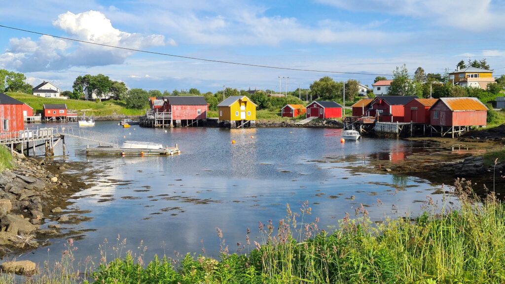
Fishermen / eider guardians village
While Vega is large and high, the archipelago that surrounds it for dozens of miles is made up of small, very flat islands. Here, we no longer speak of skjærgård, but of strandflat. You have to get higher to get an overview of the rocky maze sprawling around. To that effect, we hop on the bikes and find a very nice hiking trail, going right up the mountain. Well, it’s a hiking staircase even! A very well-maintained wooden staircase that climbs for 1km, to more than 300 meters in altitude. Efficient! The view from the summit is worth the effort: beaches and rocks as far as the eye can see, all the way to the Seven Sisters of Sandnessjøen. In the distance the islands become higher until Lovund, which we visited on the way there, and finally Træna on the horizon materializing the – now distant – Arctic Circle…
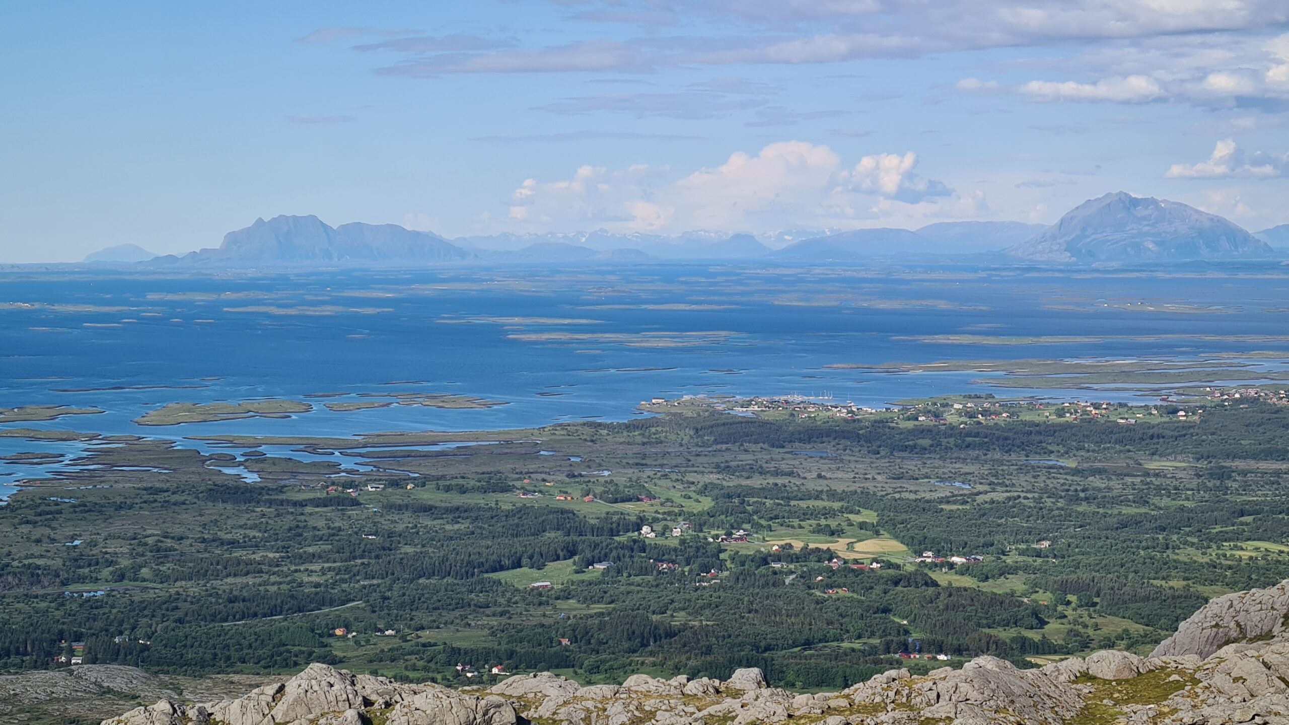
Continuous strandflat from Vega to the Seven-Sisters on the right
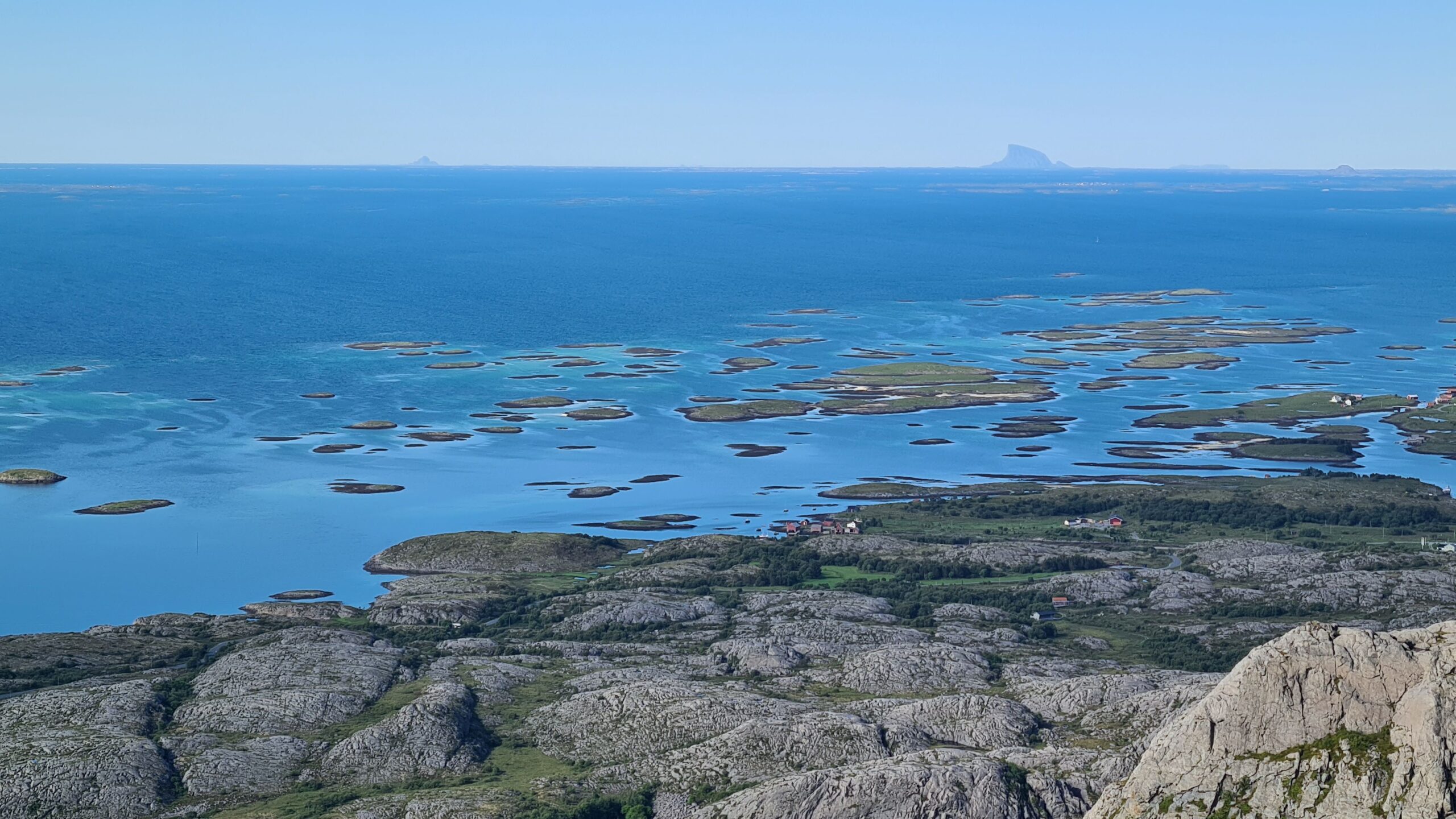
More strandflat, Træna then Lovund on the horizon from left to right
To the south, the coastline quickly becomes flatter marking the end of Norland and the beginning of Trøndelag. But to get there, we’ll first have to find a way out of this labyrinth of strandflats…
 PDF